Introduction
Oldany, a wonderful uninhabited island of sheer beauty.
Location
Information
Oldany
Oldany Island (formerly Oldney Island), Baile na Cille, is an uninhabited island in Assynt, Sutherland, Northwest Scotland. Oldany Island is a large tidal island at the southwestern entrance to Eddrachillis Bay/Kylesku. It has an area of 200 hectares (500 acres). Its highest point is Sidhean nan Ealachan at 104 metres (341 ft).
The settlement of Oldany is on the adjacent mainland. The island has long been used for grazing sheep. Oldany island is owned by the Turner family.
Summer Visit
Oldany Island immediately caught our attention as a possible safe anchorage. According to the nautical charts, the island featured a series of secluded lagoons and sheltered bays, ideal for a quiet overnight stay. And the charts didn’t disappoint.
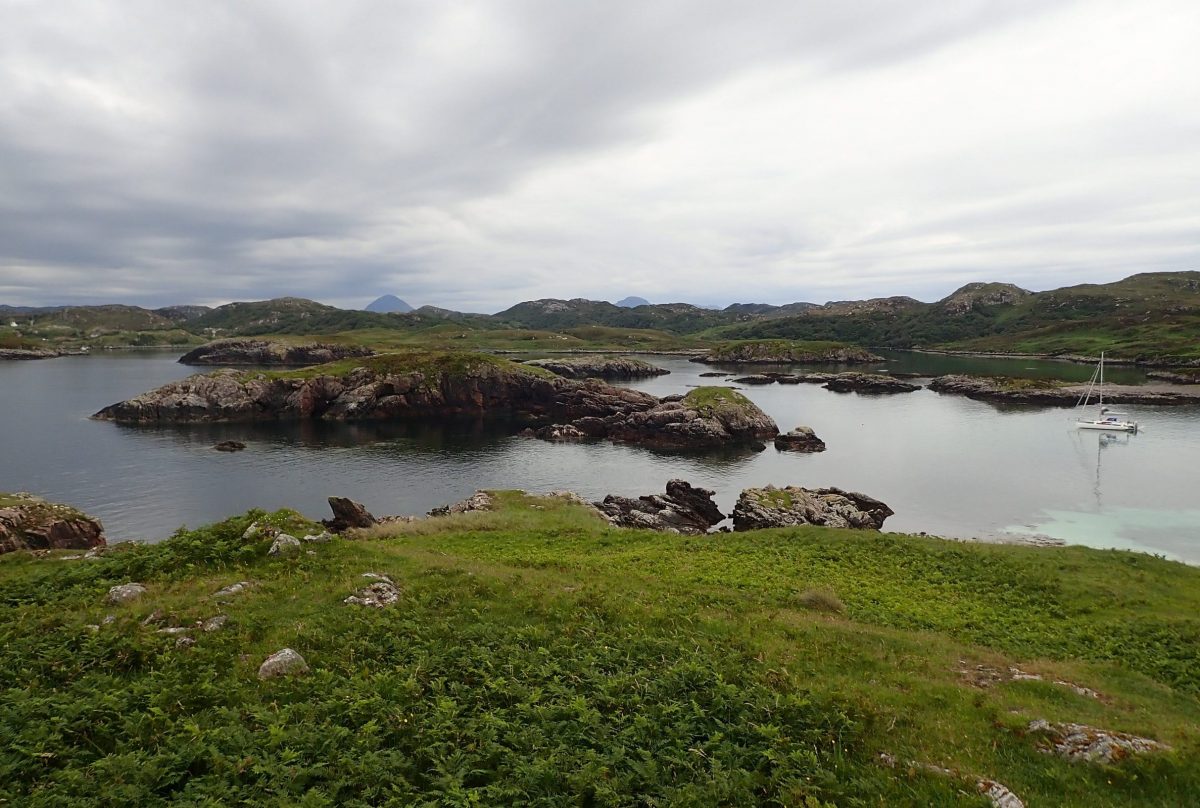
As we approached, the rugged shoreline revealed a continuous stretch of craggy inlets. Each offering charm but also a challenge—they tended to dry out at low tide. Toward the eastern end of the island, we discovered landlocked lagoons that looked particularly inviting. Yet, anchoring in a spot where we couldn’t easily lift anchor and sail away at a moment’s notice didn’t sit well with us.
Ultimately, the island offered a fascinating glimpse into the wild, untamed beauty of Scotland’s coastal waters—perfect for adventurous sailors seeking remote anchorages and natural tranquillity.
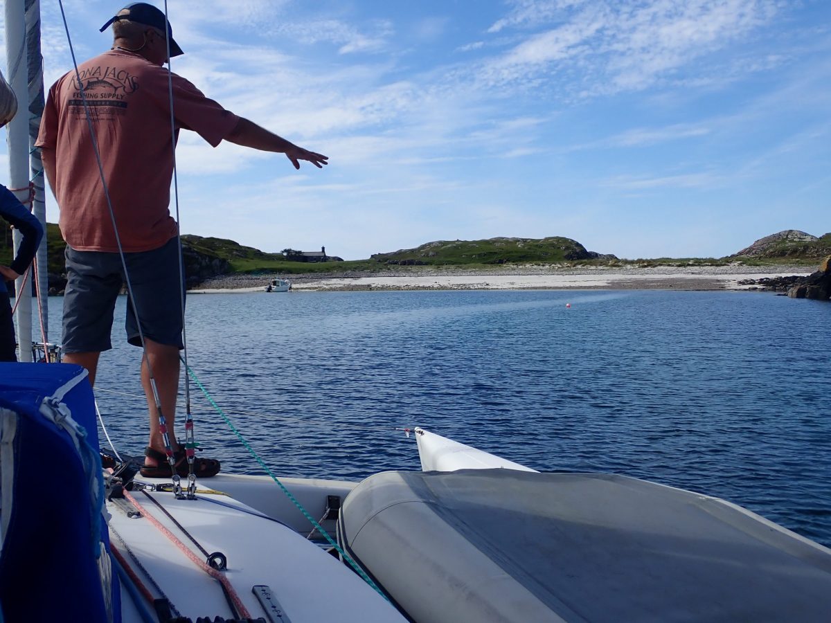
A careful entrance to the Bay
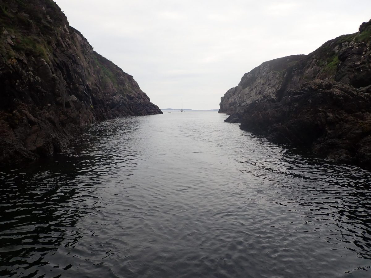
While exploring the rugged coastline of Oldany Island, one secluded bay stood out as a potential haven. With precision and care, I guided our sailboat around a rocky headland, revealing a breathtaking scene that instantly captivated my crew—Gordon and Ranald, both grinning as we entered what looked like the ideal shallow anchorage in Northwest Scotland.
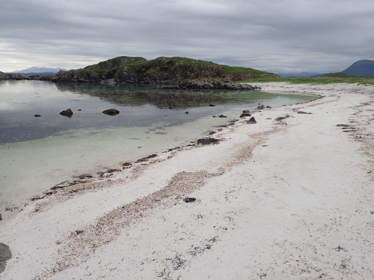
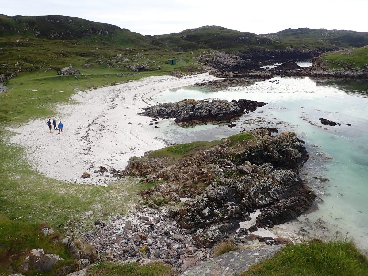
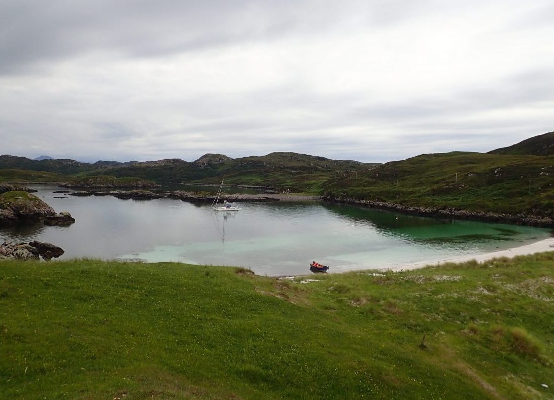
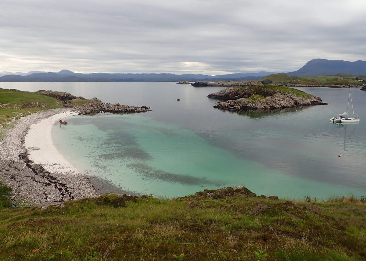
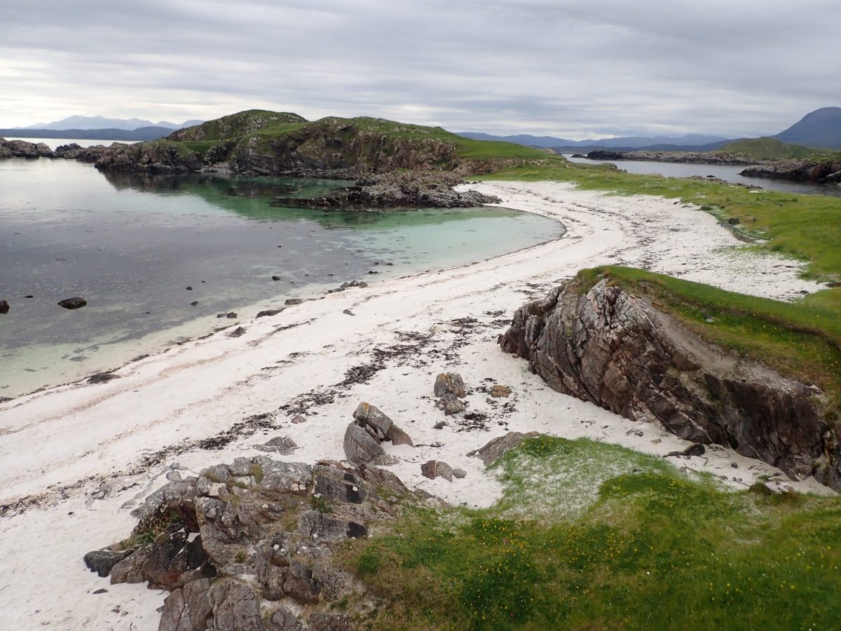
At the head of the bay lay a pristine white sandy beach, framed by a lush machair bank—a rare coastal habitat—dotted with bare rock and scattered boulders. The bay’s narrow entrance, flanked by drying reefs, low-lying islets, and the rising hills that led into the heart of the island, created a natural shelter from wind and swell. It was, without doubt, a sailor’s dream.
I slowly circled the bay, checking the depths and seabed composition, and selected a spot dead center—right above a clean, sandy bottom. The crystal-clear water made it easy to pinpoint the perfect location to drop anchor. With a gentle splash, the anchor landed on the sand, securing us with a firm and reliable hold for the night.

We settled, cut the engine and soaked up the silence and beauty of the bay.
Landing ashore
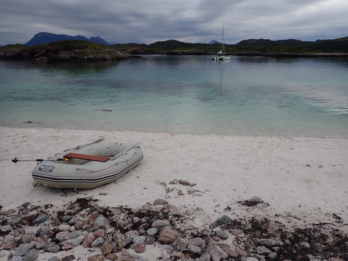
After securing our yacht, Trade Winds, in the tranquil bay of Oldany Island, we brewed coffee and relaxed for 30 minutes, carefully observing to ensure our anchor held firm. With the boat steady and the setting peaceful, we hopped into the dinghy and rowed ashore toward the inviting white sandy beach that had first drawn us in.
The moment our feet touched land, we were struck by the breathtaking natural beauty surrounding us. The beach, framed by machair grasslands and rugged hills, felt like a hidden paradise far removed from the bustle of everyday life.
But we weren’t alone. Across the bay, a small fire flickered in a gully, and three young girls laughed and played along the shoreline. As we walked across the machair, we met a friendly adult in bright yellow wellies. He greeted us warmly and shared that he was the owner of the island, and the girls were his daughter and her friends visiting from London.
The contrast was striking—from the fast-paced city life to the serene wilderness of Scotland’s northwest coast. It was a moment of reflection, a reminder of how profoundly different—and refreshing—life can be when surrounded by nature.
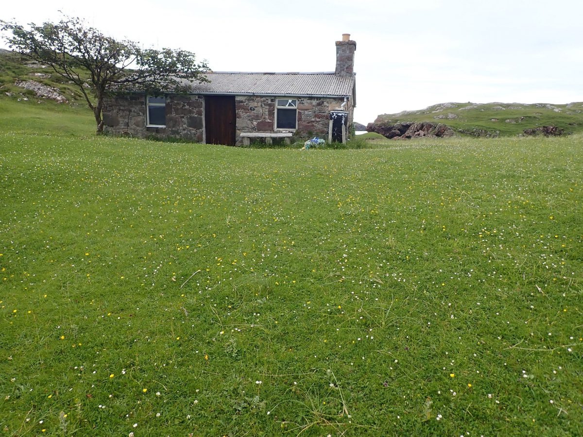
A Doctor’s Retreat: The Story Behind the Cottage on Oldany Island
As we explored the peaceful shores of Oldany Island, we stumbled upon a charming anecdote about the bothy—a modest cottage perched above the bay, offering sweeping views of the white sandy beach and surrounding machair grasslands.
Locals shared that the cottage once served as a retreat for the area’s beloved doctor, who would escape the demands of his medical duties to indulge in his true passion: fishing in the remote Scottish Highlands. Concerned that he might be unreachable during emergencies, the mainland community came together to install electricity and a telephone line to the island—an extraordinary gesture that speaks volumes about how things were done “back in the day.”
After our heartwarming chat, we each wandered off to soak in the serenity of the bay. With the boat anchored securely and the sun casting golden light across the landscape, we simply relaxed—immersed in the untouched beauty of Scotland’s northwest coast.
Calm evening aboard
We retired to Trade Winds to enjoy a wonderful calm still evening under the stars and moon with not a soul to be seen or heard. It would also be fair to say we gave the store of whisky and good hammering that evening.
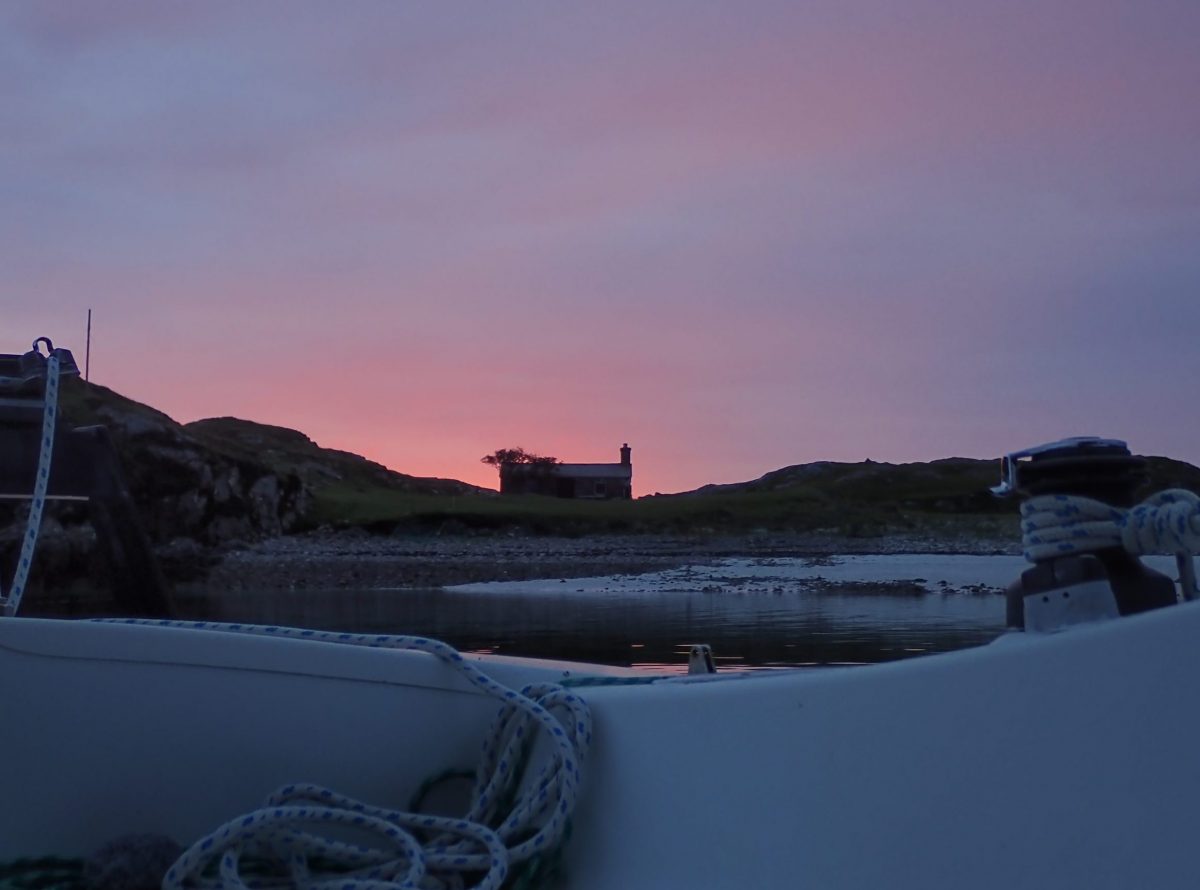
Time to explore
The following morning brought fresh energy and a renewed sense of adventure. It was time to set sail for Handa Island, but first—I had unfinished business. The summit of Oldany Island still called to me.
Studying the map, I spotted a promising route from the northwest shore, offering a relatively short ascent to the top. We weighed anchor and gently slipped away from our now affectionately named ‘Hangover Bay’, a place that had gifted us unforgettable memories and perfect anchorage.
Our next challenge was finding a suitable landing spot along Oldany’s rugged, rocky coastline. The shoreline was steep and dramatic, but the thrill of exploration kept us scanning for a safe entry point to begin the climb.
Climbing Oldany Island: From Boulder Beach to Summit Surprise
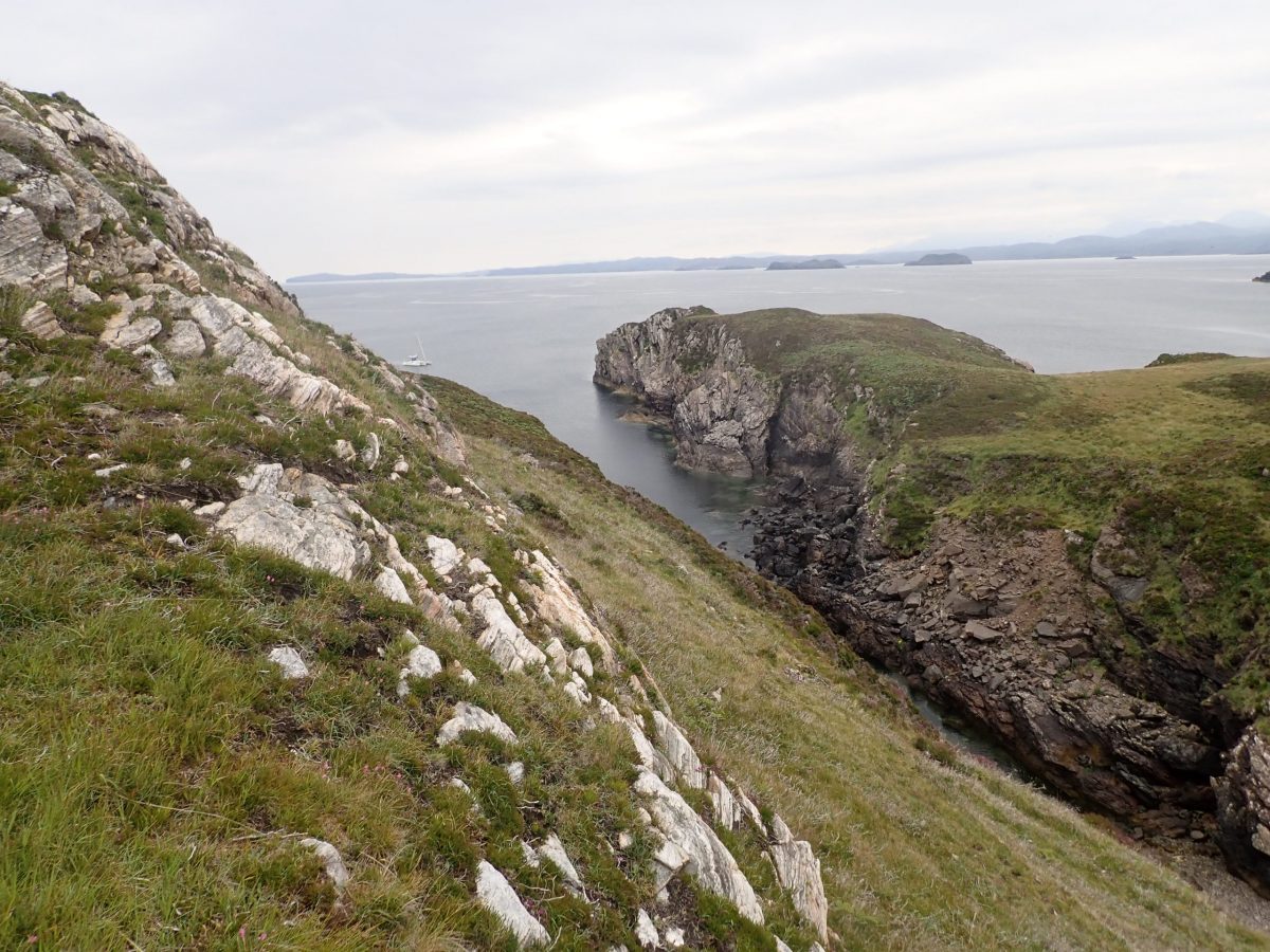
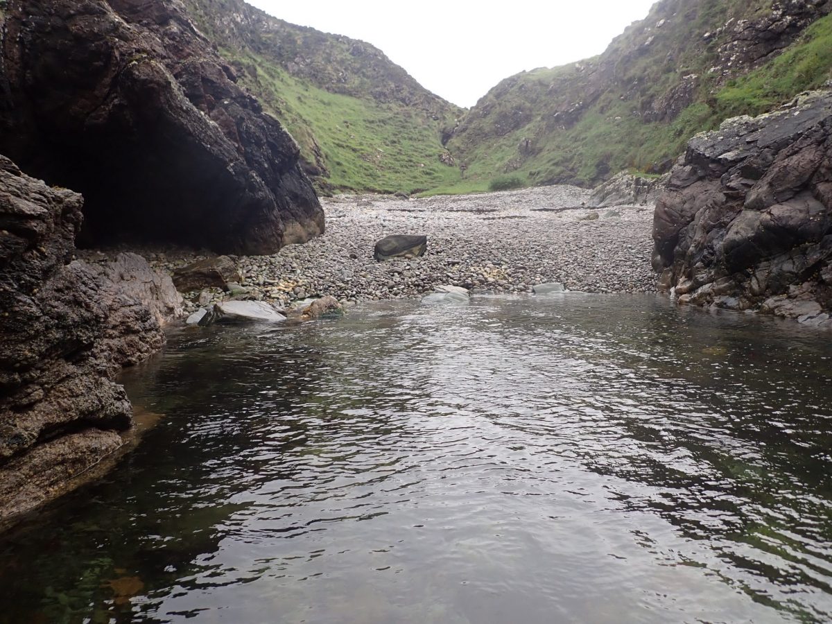
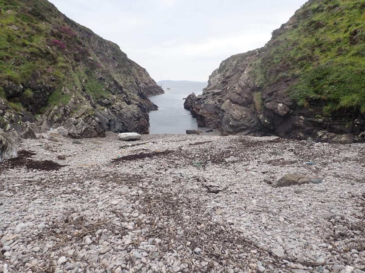
A dramatic ravine and weathered gully carved into the rocky coastline offered a natural gateway to begin my ascent of Oldany Island. Leaving Gordon and Ranald aboard Trade Winds, I rowed ashore solo, navigating toward the head of the gully and landing on a striking boulder-strewn beach.
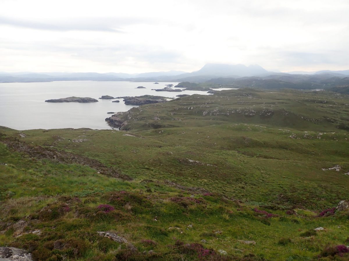
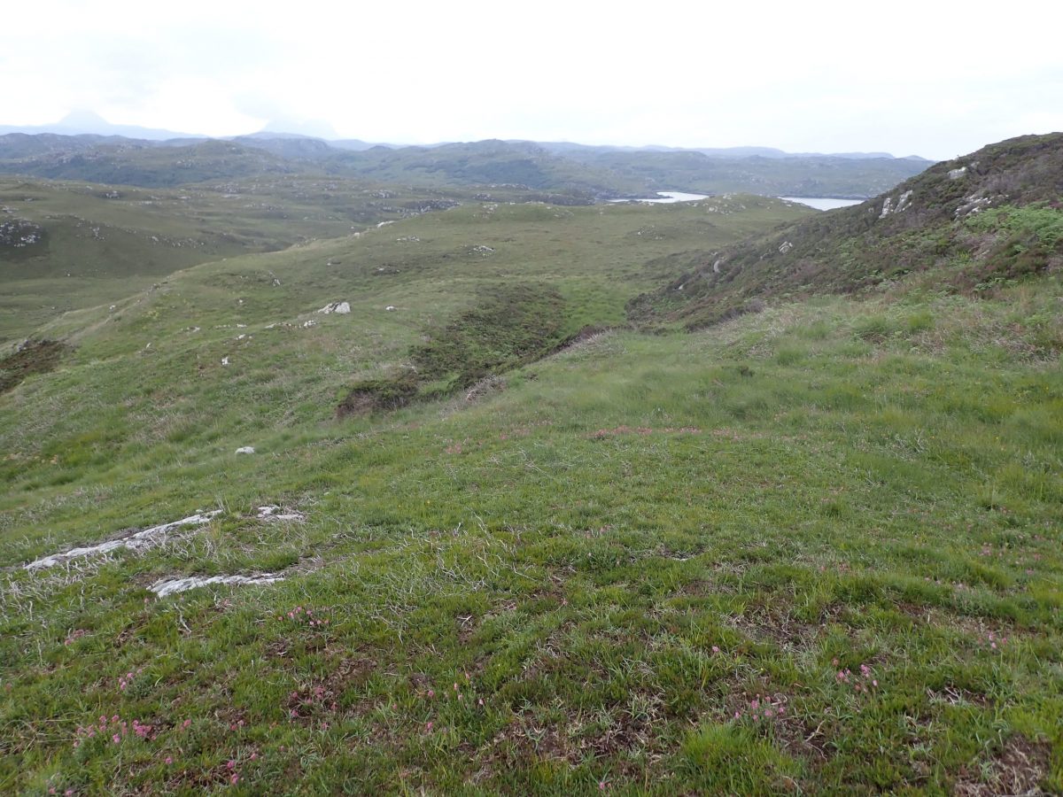
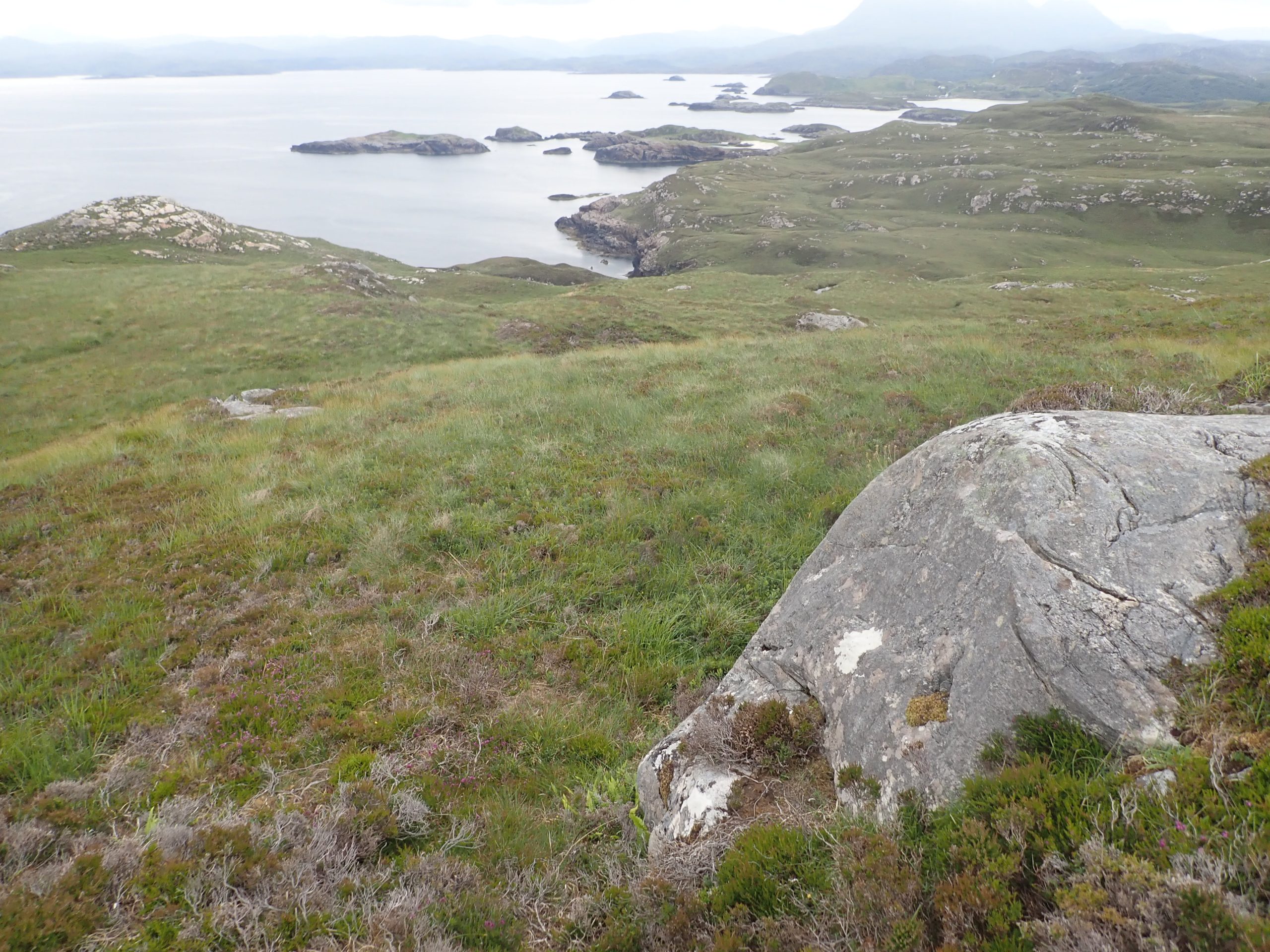
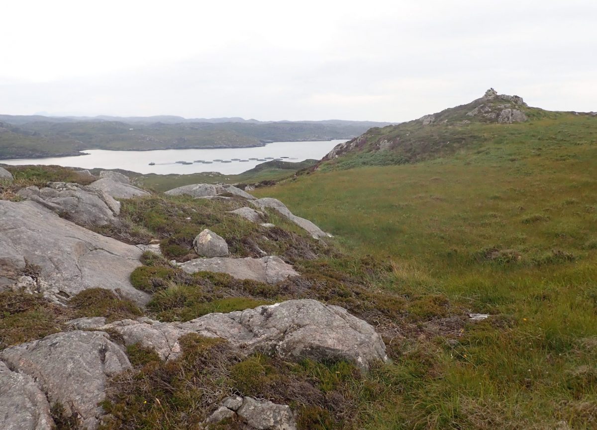
After hauling the dinghy well above the tide line and securing it to large boulders, I set off on foot. The terrain was challenging—dense heather, slippery grass, and patches of wet bog slowed progress and made route-finding a test of patience. The summit wasn’t immediately obvious, and a brief detour led me up a ridge where, at last, the cairn marking the high point came into view.
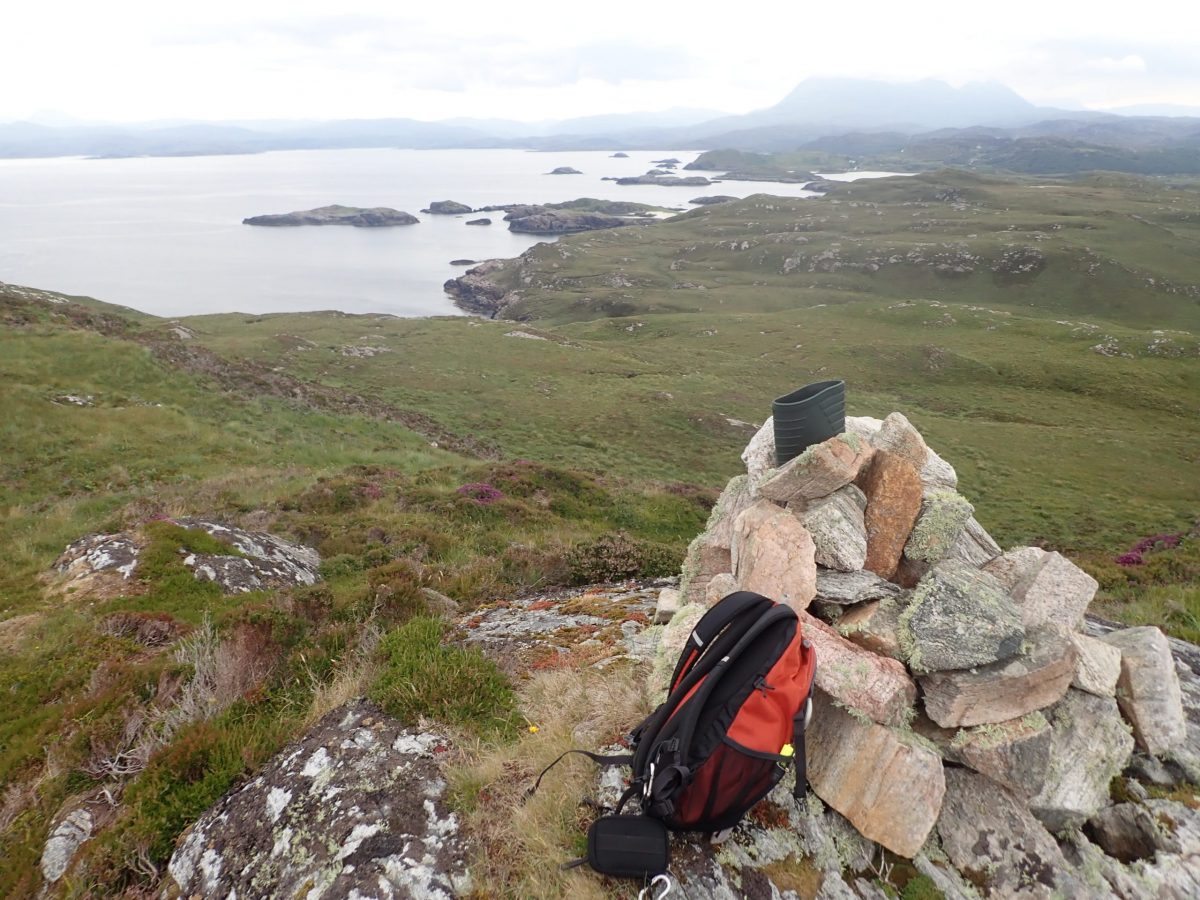
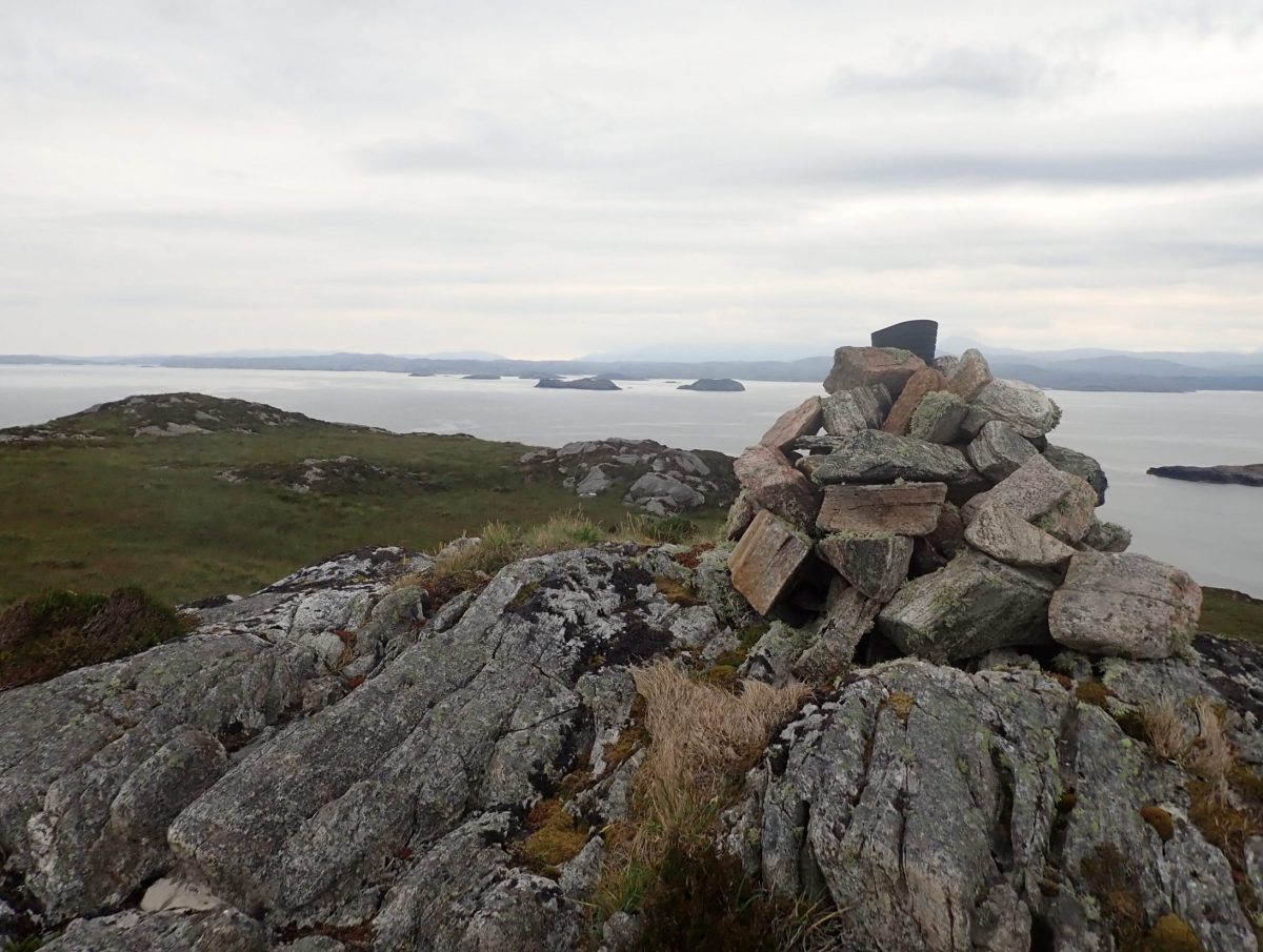
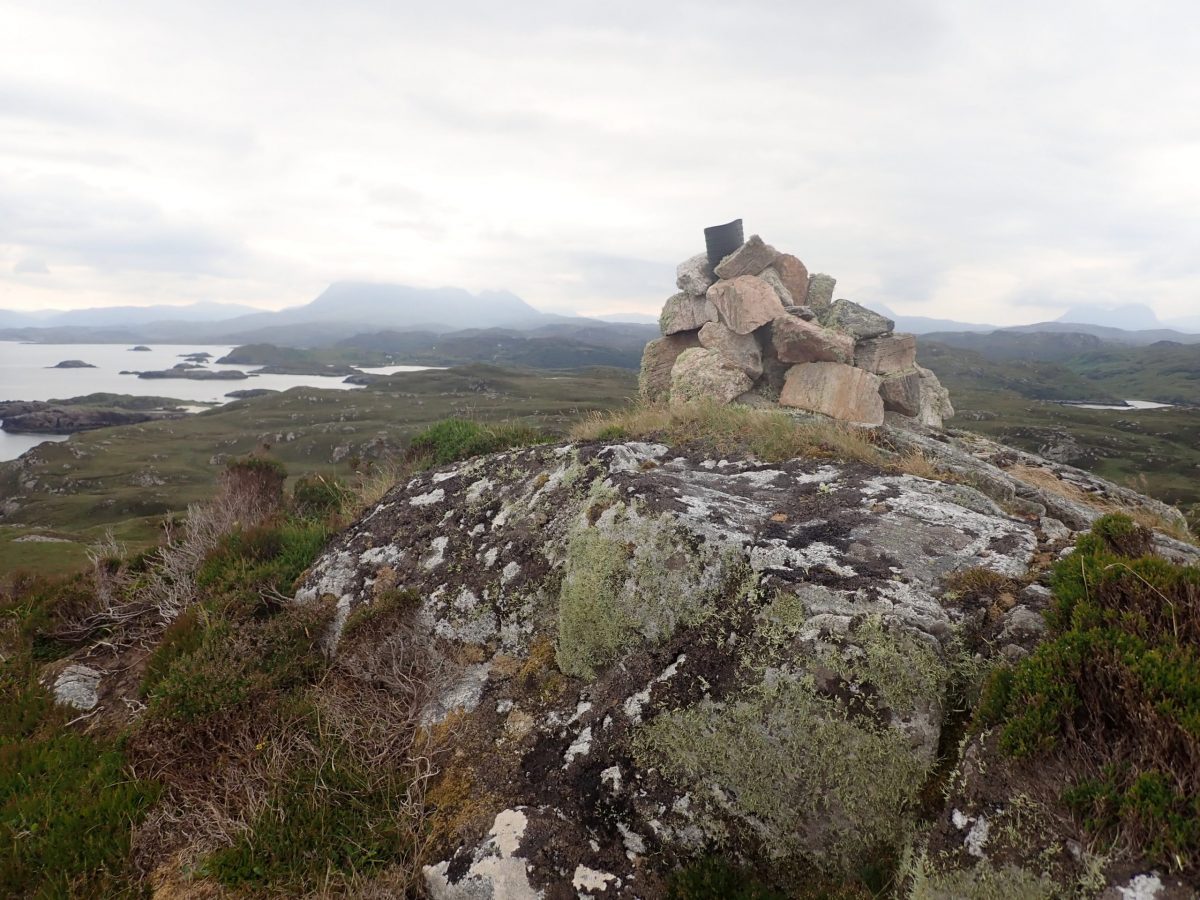
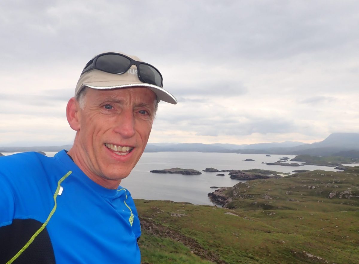
A wide grin spread across my face as I reached the top. The cairn, cloaked in a thick layer of lichen, had a quirky surprise: the top of a welly boot poking proudly from its crown—a humorous and unexpected reward for the climb.
Time to top the island
With the summit of Oldany Island officially conquered, it was time to move quickly—our sailing schedule to Handa Island was tight, and delays weren’t an option. After snapping a few photos to capture the moment, I began my descent toward the dinghy beached at the boulder shore.
But the island had one last twist in store.
Intent on a swift return, I veered off course and soon realized I’d become disoriented in the rugged terrain. Instead of retracing my steps, I emerged at the cliff tops on the wrong side of the island, staring out at fish farm cages bobbing in the sea—a clear sign I’d strayed far from the ravine.
With the error now obvious, I turned back and made a determined cross-island trek. Eventually, I spotted the familiar contours of the weathered gully and the boulder beach below. Relief washed over me as I reached the dinghy, ready to rejoin Gordon and Ranald and set sail for our next destination.
Lost in the Deep: Jellyfish, GoPro, and a Lesson Learned
As I rowed back toward Trade Winds, the sea transformed into a kaleidoscope of jellyfish—a thick, drifting soup of white, blue, and pink specimens, gently rocking in the slopping tide. The water slurped and gurgled against the surrounding rocks, creating an almost surreal atmosphere. It was the perfect moment to capture on my GoPro camera.
I drifted slowly through the jellyfish, mesmerized by their motion. Hungry for a better shot, I rowed back upwind and set off again to film. But in my eagerness, I made a critical error—my camera wasn’t tethered to my wrist, as it always should be.
The moment my hand touched the water, the GoPro slipped silently away, gliding down through the jellyfish and disappearing into the swaying kelp, some 15 feet below. I watched helplessly as it vanished, and yes—a few choice words escaped my lips.
Back aboard Trade Winds, Gordon and Ranald were already in stitches, howling with laughter. They knew exactly what had happened the moment they saw my face. True friends, indeed—ready to laugh when you need it most.
Ancient Echoes: The Burial Grounds of Baile na Cille, Oldany Island
Tucked into the rugged landscape of Oldany Island, the site known as Baile na Cille holds deep historical and archaeological significance. This ancient burial ground, dating back to the Early Medieval period, features graves outlined with flat stones, some of which are topped with similar slabs—marking the resting places of long-forgotten souls.
At the rear of the burial ground, nestled against the hillside, lie the ruins of a primitive stone structure. Constructed from upright slabs—some as large as 3 feet high and 1 foot thick—the building is roughly rectangular, measuring about 12 by 10 feet, with an entrance facing east. Nearby, a smaller attached structure contains a circular stone feature, possibly an oven, suggesting domestic or ritual use.
Adjacent to the burial ground stands a substantial cairn of stones, believed by some to have once served as a Pagan temple. Within the cairn is a hollowed stone with a lid, which, according to local lore, held a brightly coloured round stone revered by islanders until the 18th century. This sacred object was shown to visitors as a curiosity, and its presence led early observers to conclude the site was Pagan in origin, rather than Christian—describing the hollowed stone as “not a Popish font.”
Surrounding the area are remnants of small circular and oval huts, likely shielings used seasonally by shepherds or early settlers. The entire site is enclosed by a crude stone wall, blending seamlessly with the natural rock outcrops, and offers a haunting glimpse into Scotland’s ancient spiritual landscape.
References
Wikipedia
Canmore
Haswell-Smith, Hamish (2004). The Scottish Islands. Edinburgh: Canongate. ISBN 1841954543.
Nearby Scotislands
