Introduction
Sanday is a National Trust for Scotland and crofter manged island. It has a school (closed), study centre (closed) and is mainly of good crofting lands and home to Puffins.
Location
Information
Sanday (Scottish Gaelic: Sandaigh) is one of the Small Isles, in the Scottish Inner Hebrides. It is linked to Canna by a road bridge. Canna and Sanday form a single community and are usually described as Canna.
Visit by Yacht and a Working Return
My first visit to Sanday was by yacht in 2006. We anchored in the Harbour and enjoyed a wander around the shoreline and St Edward chapel. My next visit was to be 12 years later as Island Manager for the National Trust for Scotland.
A Return to Canna: 12 Years Later
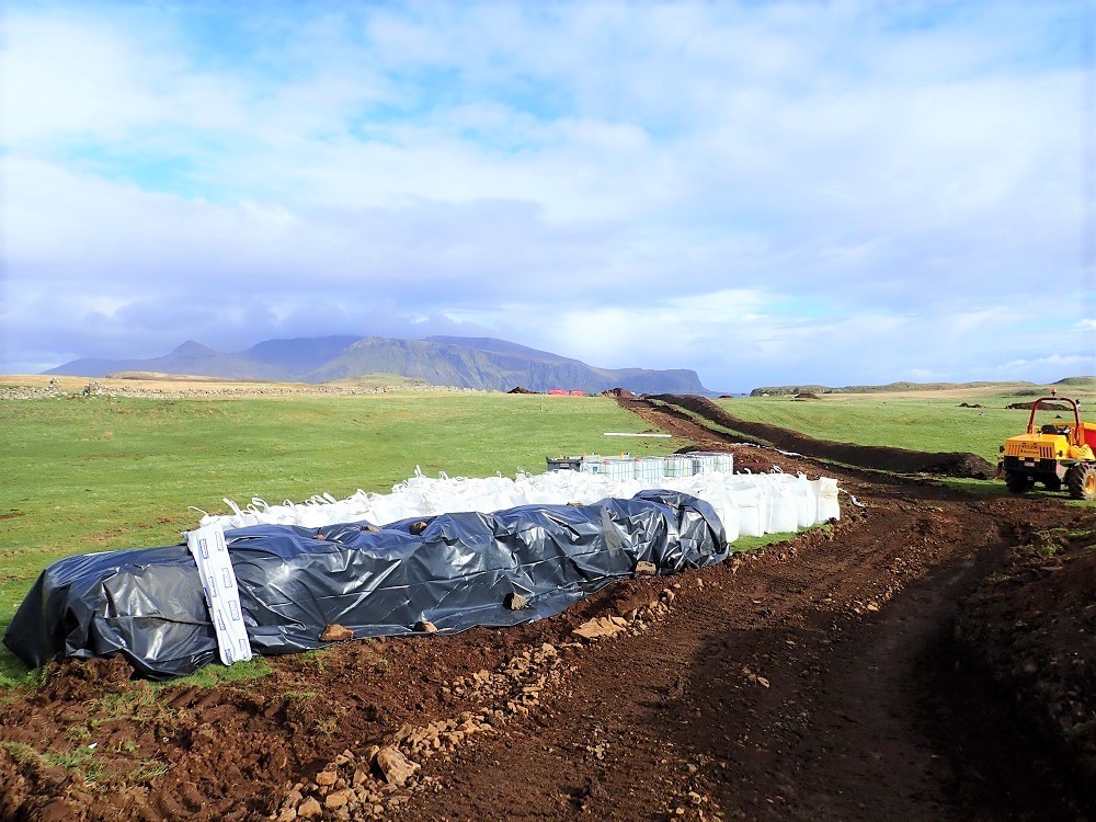
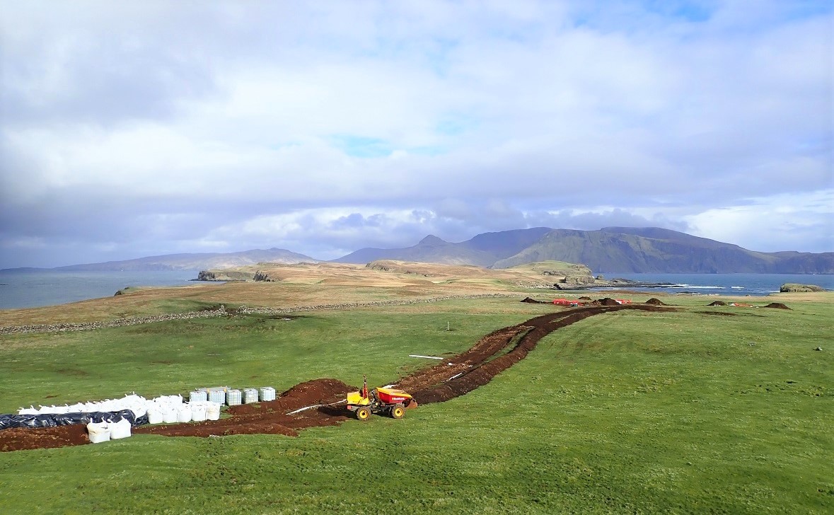
Not much had changed over the last twelve years. The small island remained a wonderful, unspoilt land for crofting. However, I noticed one major exception. The community had recently introduced renewable energy to the landscape.
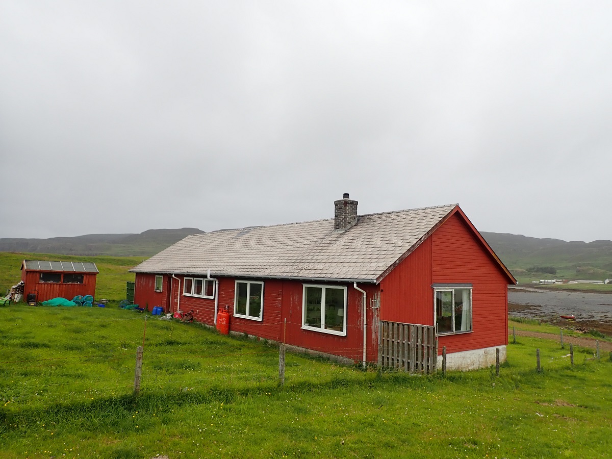
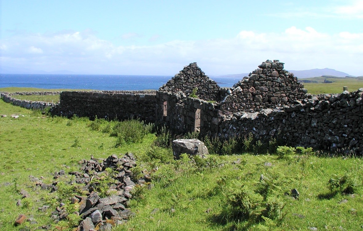
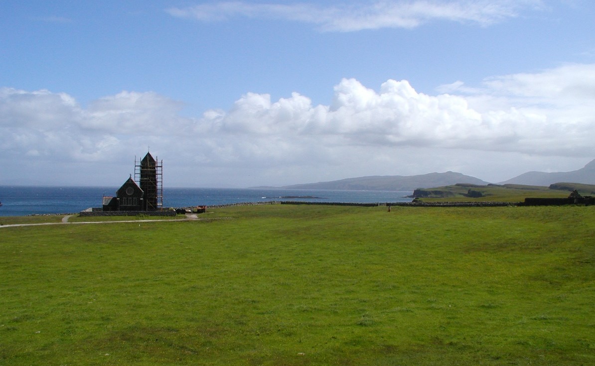
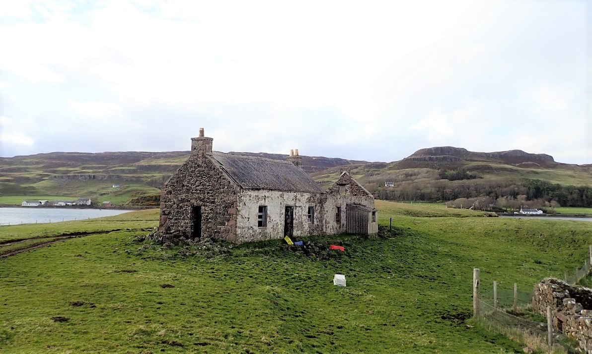
A few of the older buildings looked a little more tired. Specifically, a renovated property was becoming a self-catering holiday let. Furthermore, I felt a great sadness regarding St. Edward’s Chapel. The doors remained locked to the public. Consequently, the beautiful building is slowly falling into disrepair.
A Renewable Future
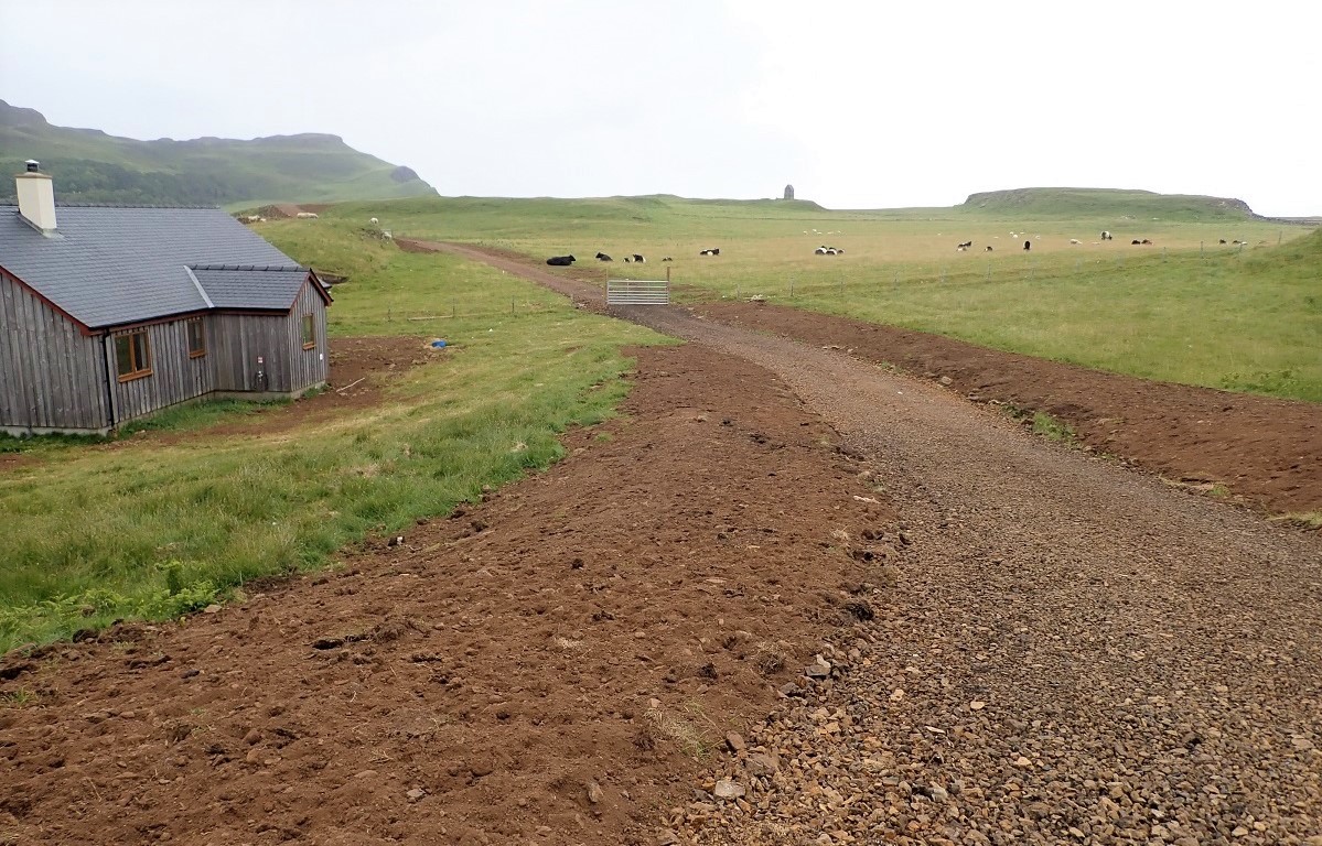
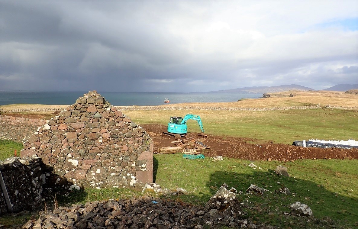
A great change was finally underway. Specifically, early ground works had started for several wind turbines. These turbines now provide 24/7 renewable power for Sanday and Canna residents. Consequently, the clean energy supports the entire local community throughout the year.
The turbines are now spinning in the island wind. Furthermore, the community finally removed the dirty old generator. A brand-new generator now sits waiting as a backup. Ultimately, this shift marks a new era for the island’s energy needs.
The Life of Sanday
The National Trust for Scotland owns the entire island. Similarly, the Trust also manages its neighbour, Canna. However, the two islands function differently. Canna operates as a single farm, whereas parts of Sanday provide land for crofting.
Sanday once hosted a primary school for both islands. Specifically, it served the local community for many years. Unfortunately, the school is currently closed at the time of writing. This is because no children currently live on either island.

Connecting Sanday and Canna
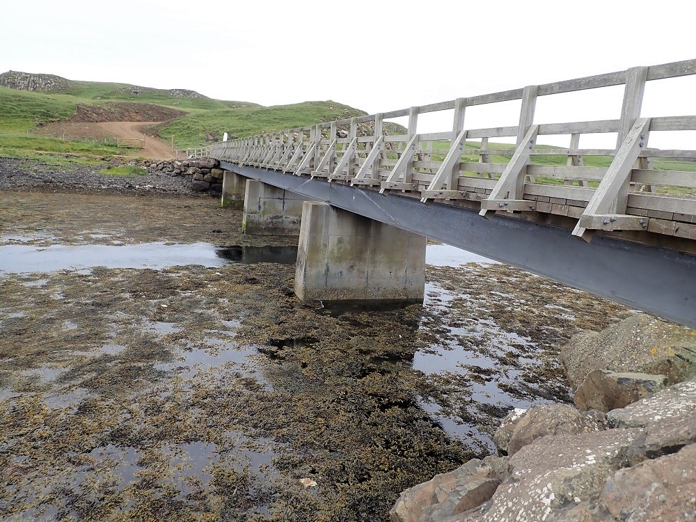
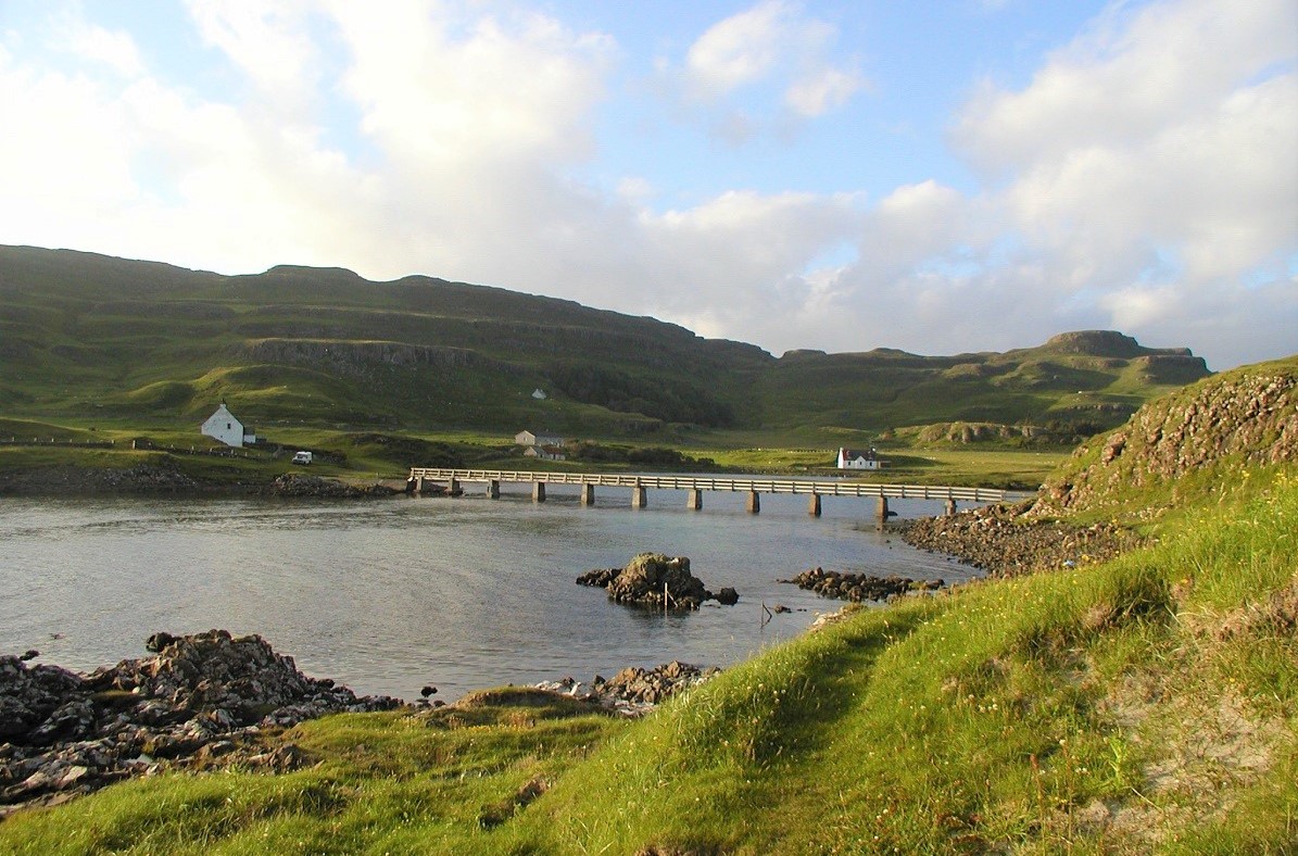
Workers originally built a footbridge to Sanday from Canna in 1905. Previously, this path served as the main link between the islands. However, fierce winter storms destroyed the structure in 2005.
Following the storm, the community needed a stronger connection. Consequently, builders replaced the old footbridge in 2006. They constructed a modern road bridge. This new crossing is capable of carrying heavy traffic and farm vehicles. Ultimately, it ensures a reliable link between the two islands.
To satisfy the Yoast SEO requirements, I have shortened the sentences and used active transitions like however, furthermore, and ultimately.
Securing the Connection
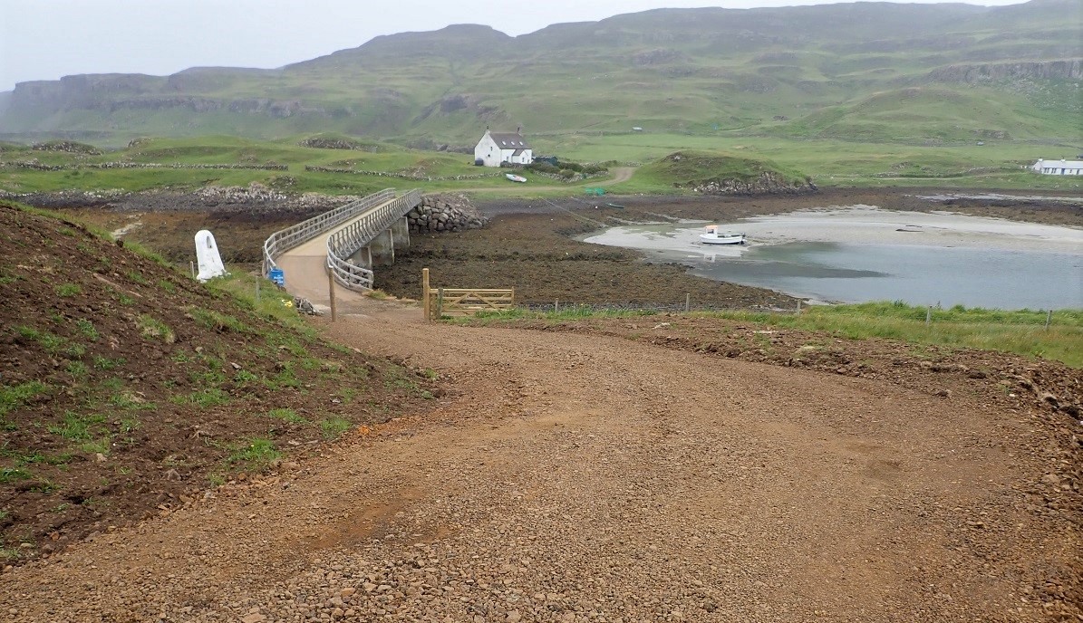
This new bridge did not solve every problem. Specifically, high tides still flooded the original road on Sanday. This often marginalized the benefits of the new crossing. Consequently, the residents remained at the mercy of the sea for years.
In 2018, the community launched a successful crowdfunding appeal. Fortunately, they secured enough cash to build a new, elevated road. This project finally ensured a 24-hour connection with Canna. Furthermore, it protected the vital link to the lifeline ferry service. Ultimately, the islands are now connected regardless of the tide.
St. Edward’s Chapel: A Redundant Monument
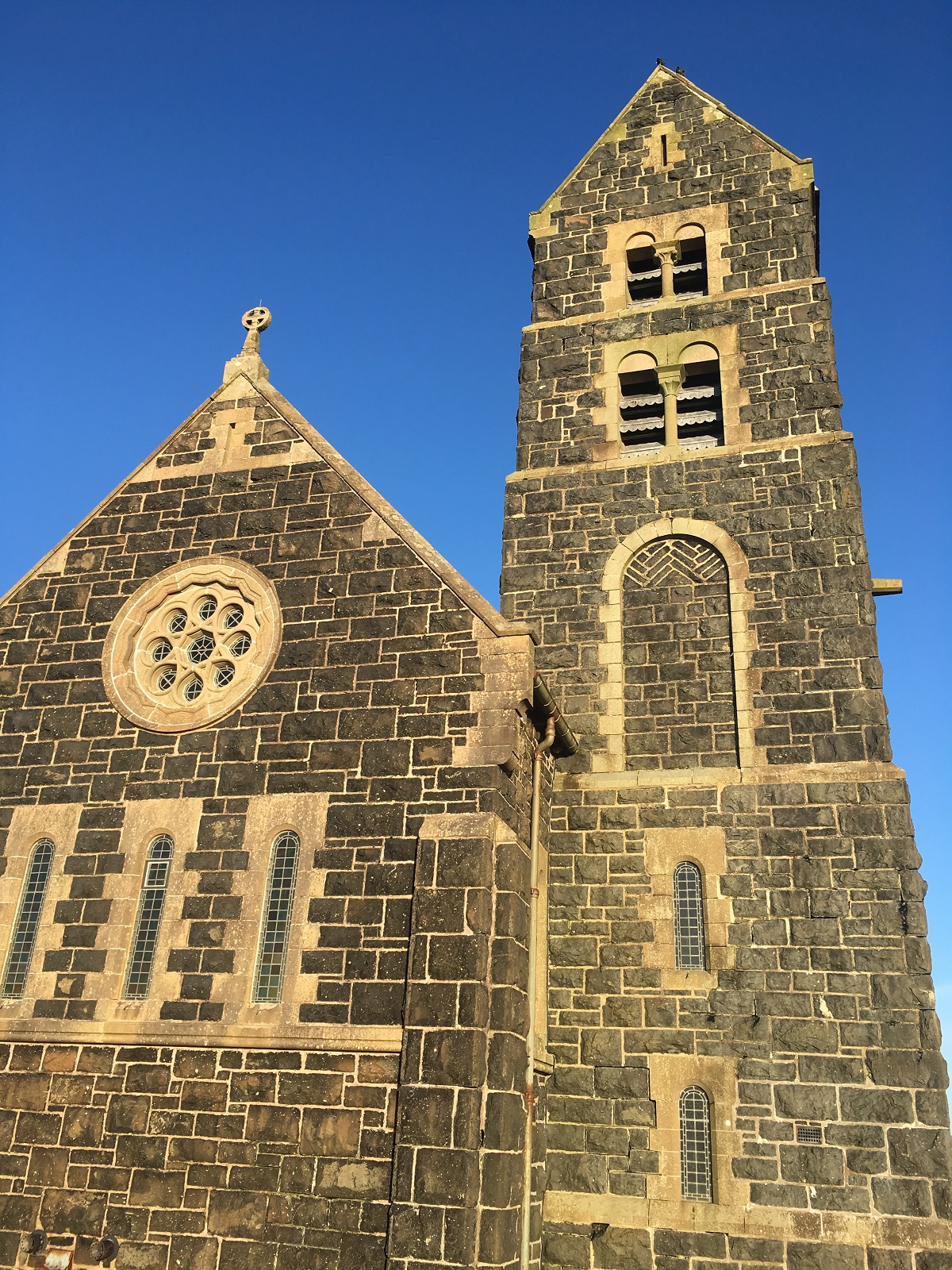
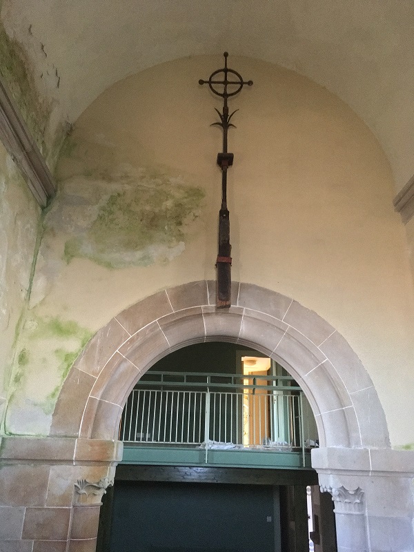
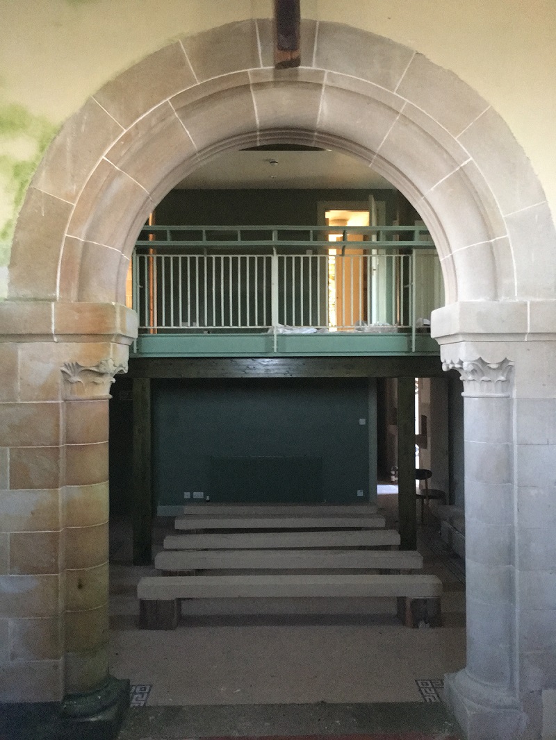
The most conspicuous building on Sanday is the deconsecrated Catholic church of St. Edward. It stands alone on an elevated part of the island. The National Trust for Scotland currently owns the site. Previously, the Hebridean Trust restored the church and converted it into a study centre.
The Princess Royal successfully opened the facility in 2001. However, the project faced a major structural flaw. The original builders used porous stone for the walls. Consequently, water seeped through the stone almost immediately after the renovation. This dampness made the building uninhabitable for students or guests.
The Chapel eventually returned to the National Trust for Scotland. By then, organizations had spent roughly £1 million on the project. Ultimately, all this effort led to a wholly redundant building. It dominates the landscape but provides no benefit to the residents or the trusts.

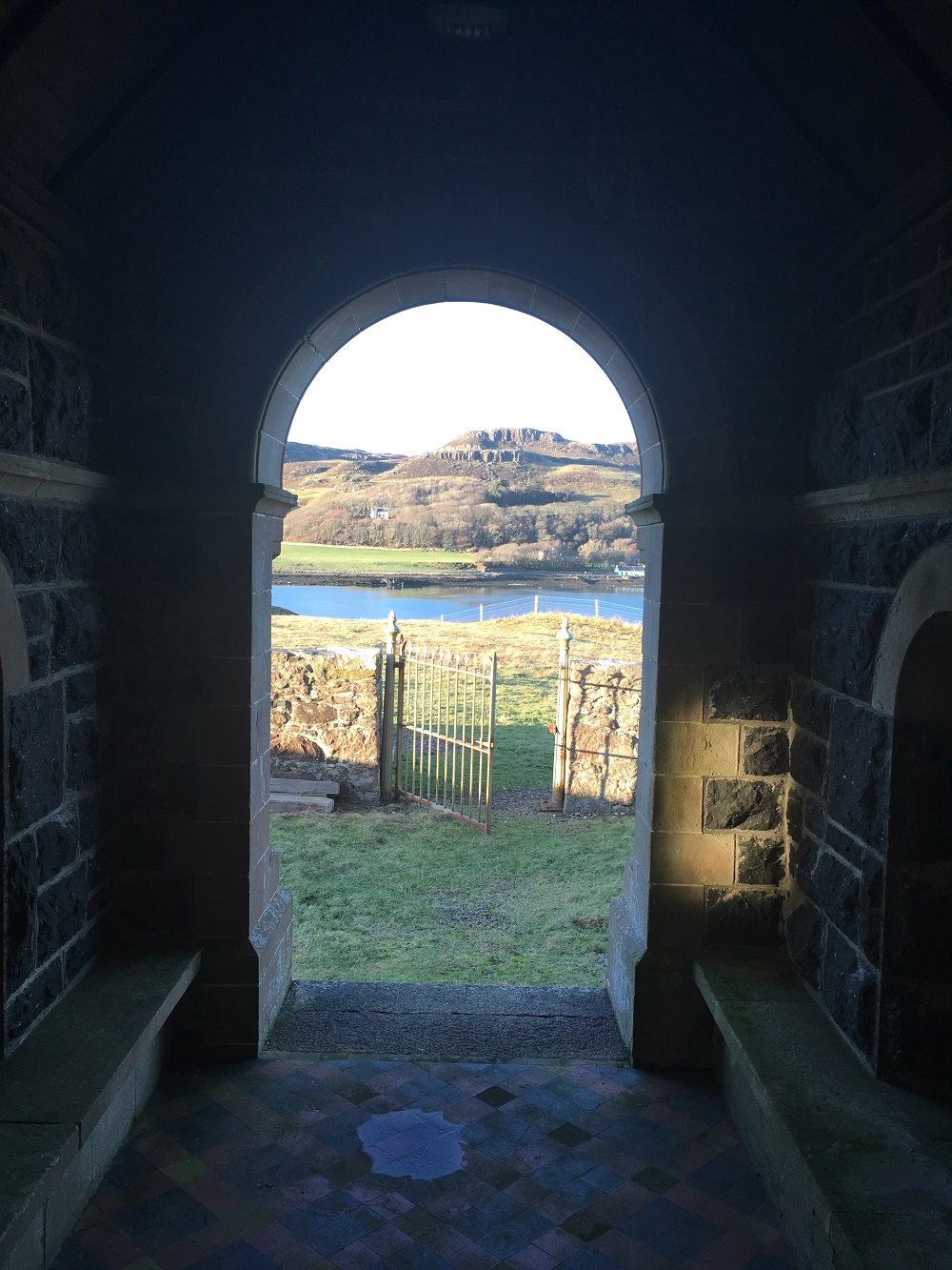
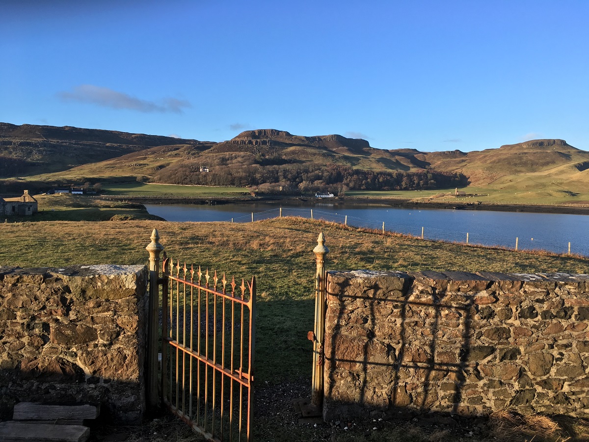
As my last visit was a working visit, I did not have time to fully explore the island. Perhaps for another day.
The Volcanic History of Sanday
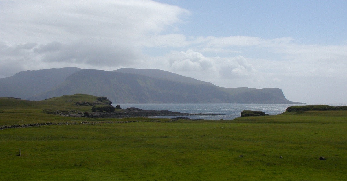
Sanday contains some of the youngest rocks in Scotland. Specifically, these formations belong to the British Tertiary Volcanic Province. Sanday and Canna belong to a massive lava field. This field stretches from northwestern Rum all the way to northern Skye.
Originally, a major volcano on the Isle of Skye erupted these basalt lavas. Canna is particularly interesting because fast-flowing rivers once crossed this erupting landscape. Consequently, these rivers deposited thick layers of boulder conglomerate. The fast-flowing currents rounded the boulders as they traveled downstream.
Some boulders measure over a metre in diameter. Furthermore, this size indicates the incredible strength of the ancient river currents. Scientists have matched pebbles in these deposits with bedrock from Skye. This suggests the river flowed from the north. Today, impressive basalt pillars stand like church organs above the local houses.
Scotisland Neighbours: Canna Rum
Local Information: Community Wiki National Trust For Scotland
Drones Map Canna: BBC News
Video Gallery
Sorry no video, need to go back ….
