Introduction
Mingulay
At the southern tip of the island chain of the Outer Hebrides sits the Isle of Mingulay. An island abandoned by its last inhabitants in 1912. It is owned and cared for by the National Trust for Scotland.
Mingulay Island Outer Hebrides Quick Facts
- Island Location
- Southern tip of Outer Hebrides
- How to get there
- Private boat
- Highlights
- Stunning golden beach, derelict village and staggering sheer cliffs
- Reasons to Visit
- Owned and run by NTS
- Island Type
- Uninhabited. Seasonal wardens
- Highest Point
- Carnan Hill 273m
- Area
- 640 ha (2+1⁄2 sq mi)
- Interesting facts
- Population peaked at 150 residents in 1881. By 1912, the island was officially evacuated.
Where is Mingulay Island Outer Hebrides
Island Experience
Isle of Mingulay: At the Edge of Europe
Mingulay exists as more than just a southern footnote to the Outer Hebrides. Instead, it stands as a testament to the fragile boundary between human resilience and the raw power of the Atlantic. While many view it as the “forgotten” St. Kilda, this island at the edge of Europe offers a profound lesson in isolation, survival, and nature’s eventual reclaiming of the land.
A Mirror to St. Kilda: The Evacuation of 1912
The story of Mingulay mirrors the better-known tragedy of St. Kilda. Although the community peaked at 150 residents in 1881, the population soon began a steady, heartbreaking decline. Consequently, the residents officially evacuated the island by 1912.
Life on Mingulay required a constant negotiation with the elements. For instance, prolonged storms often cut the island off from the mainland for weeks, effectively turning the sea into a wall rather than a highway. This isolation made common illnesses life-threatening and rendered relief impossible. Today, the ruins stand as silent witnesses to a way of life that the modern world has largely forgotten.
From the McNeils to the National Trust for Scotland
Since 2000, the National Trust for Scotland (NTS) has served as the guardian of Mingulay. This stewardship provides a stark contrast to the era of the McNeil clan chiefs.
Historically, the McNeils took a “hands-on” approach to estate management. Records suggest they even arranged marriages for widows and widowers to ensure the island’s social fabric remained intact. In contrast, the NTS focuses on conservation rather than matchmaking. This shift in ownership highlights how our relationship with the land has evolved from survivalist feudalism toward environmental preservation.
The Legend of McPhee’s Hill
While many visitors aim for the highest peak of Carnan, the true soul of the island’s folklore resides on McPhee’s Hill (224m). This hill takes its name from a rent collector whose story captures the terrifying solitude of the Hebrides.
According to the legend, a boat crew sent McPhee to the island to collect dues, only for him to find the entire population dead from a mysterious plague. Consequently, his crew abandoned him to avoid infection, leaving McPhee to live in total isolation for an entire year. During this time, he watched ships pass from the summit of the hill that now bears his name. Ultimately, a passing vessel rescued him, and authorities granted him land as compensation for his ordeal.
Mingulay Bay: A Threshold of White Sand
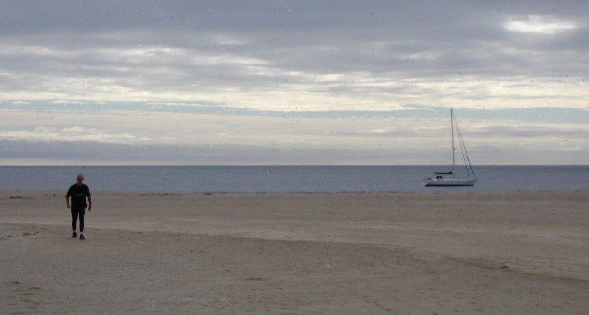
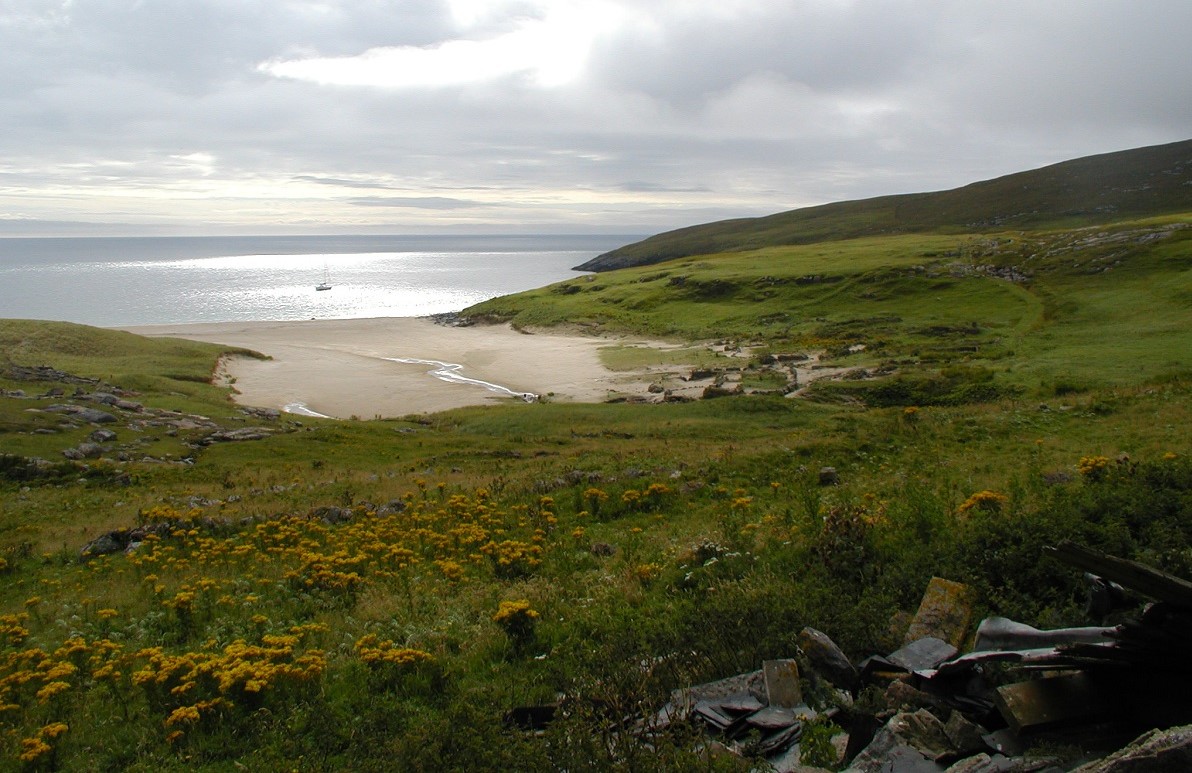
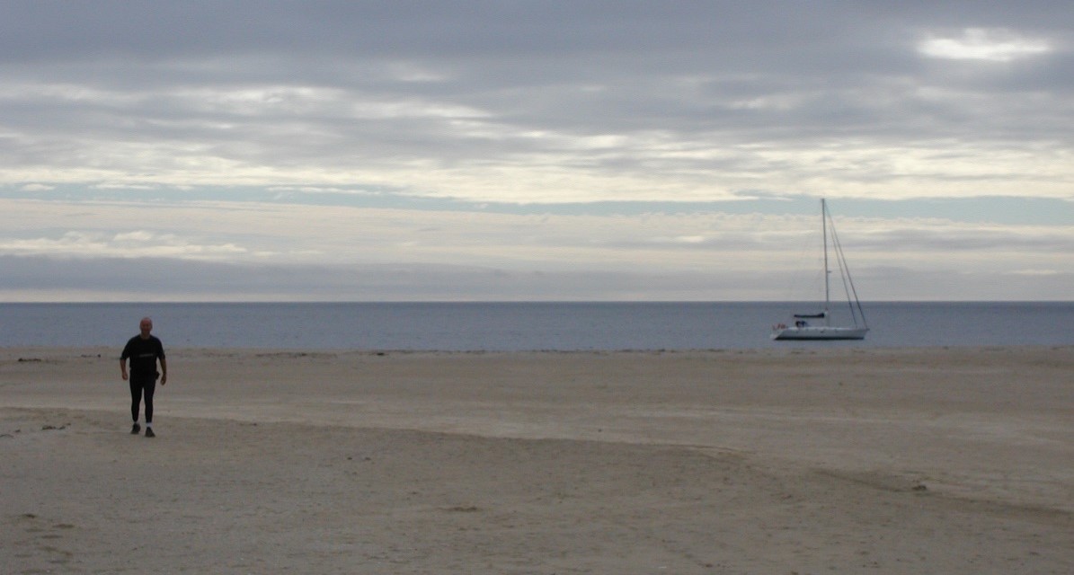
To land on Mingulay Bay is to step onto one of the most pristine thresholds in the British Isles. The beach, with its blindingly white sands, serves as the gateway to a world where time has seemingly stopped.
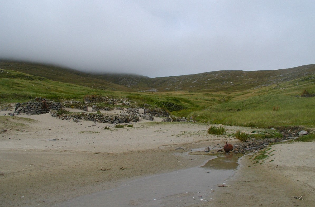
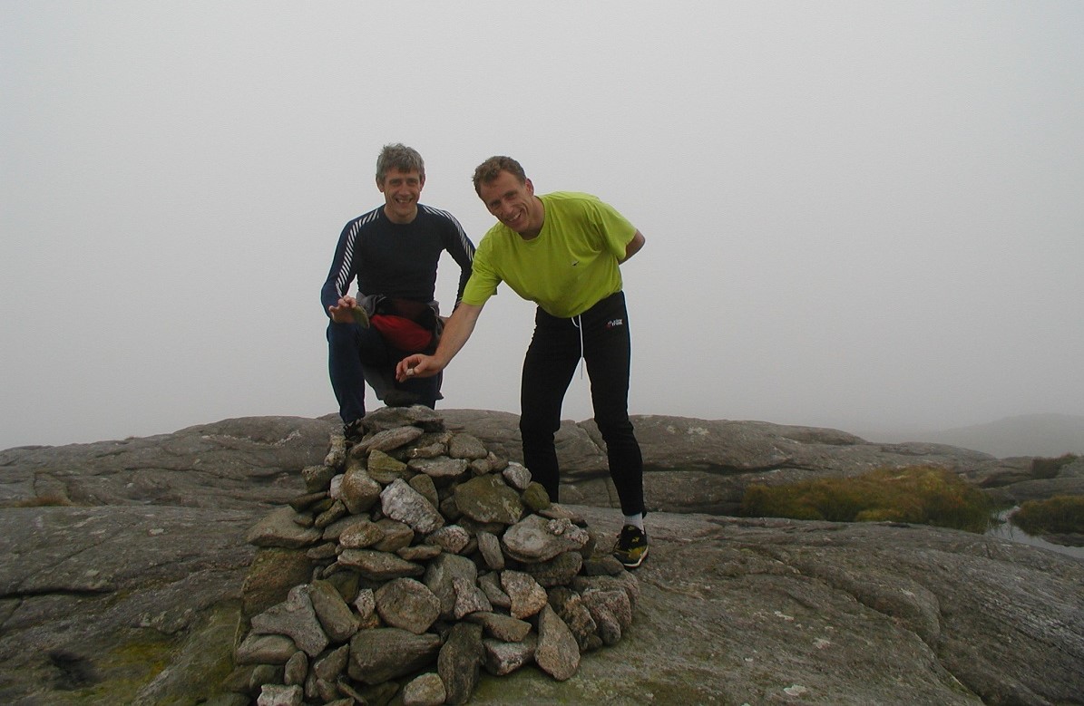
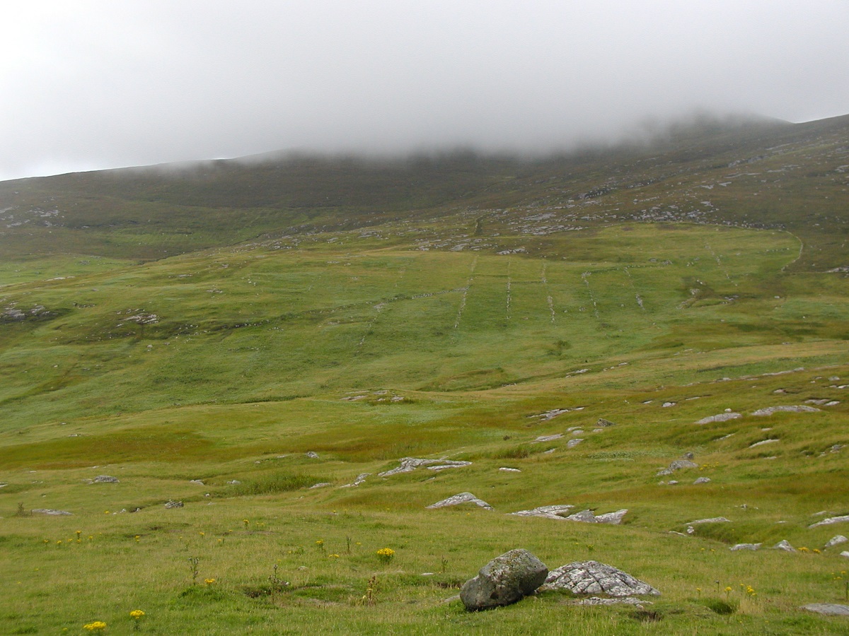
During our ascent through the sloping grass toward the summit cairn, low clouds hung over the island, shrouding the horizon in a thick, grey veil. In these moments of low visibility, the environment forces the “naked eye” away from the grand vistas of the Atlantic and toward the ground beneath one’s feet. However, as we descended, the mist began to peel back to reveal the ancient stone dykes—the hand-carved boundaries of the crofts. These walls remain as scars of labor, representing generations of hands that “grafted” the earth to eke out a fragile existence
The “Mingulay Maid”: An Encounter with the Bare Essentials
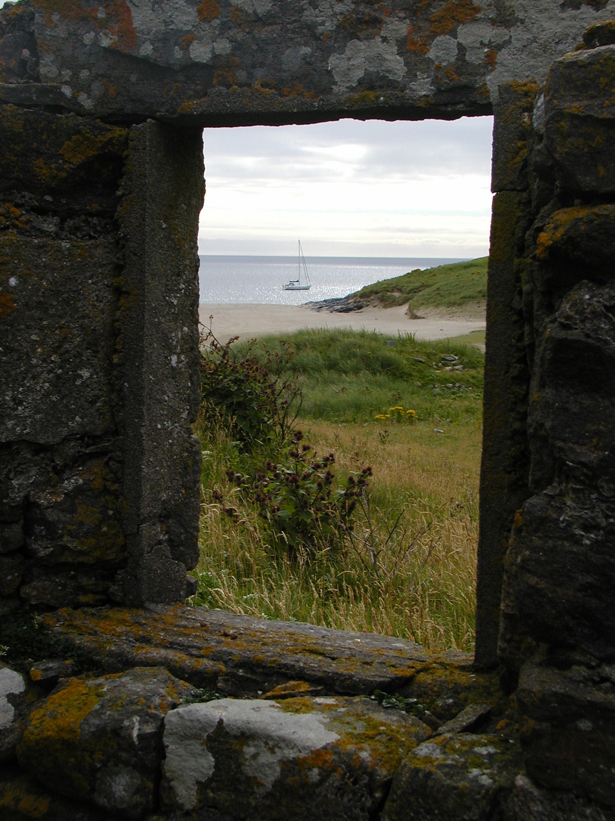
While anchored in the bay aboard Pegasus, we witnessed a moment that remains etched in our crew’s memory. In the apparent solitude a young woman—a tenant of a local bothy—descended to the water’s edge.
Notably, she was completely unencumbered by clothing. She swam and dried herself with a natural ease, seemingly unaware (or unbothered) by the yacht anchored nearby. Consequently, the legend of the “Mingulay Maid” remains a favourite chapter of our expedition to this day.
Old Buildings and Ghostly Shapes
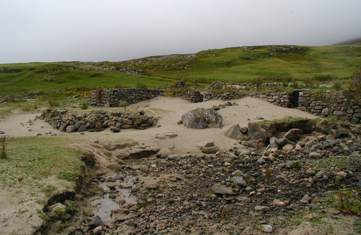
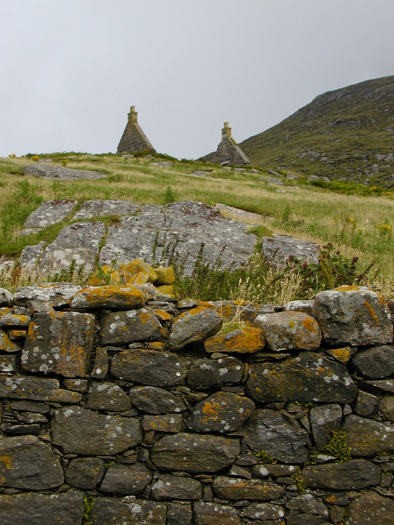
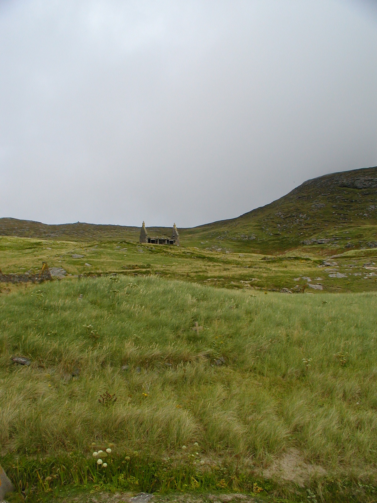
The village of Mingulay currently exists as a landscape of slow-motion disappearance. While the old schoolhouse and a few structures still defy the North Atlantic gales, most of the cottages are “sinking back into Mother Earth.”
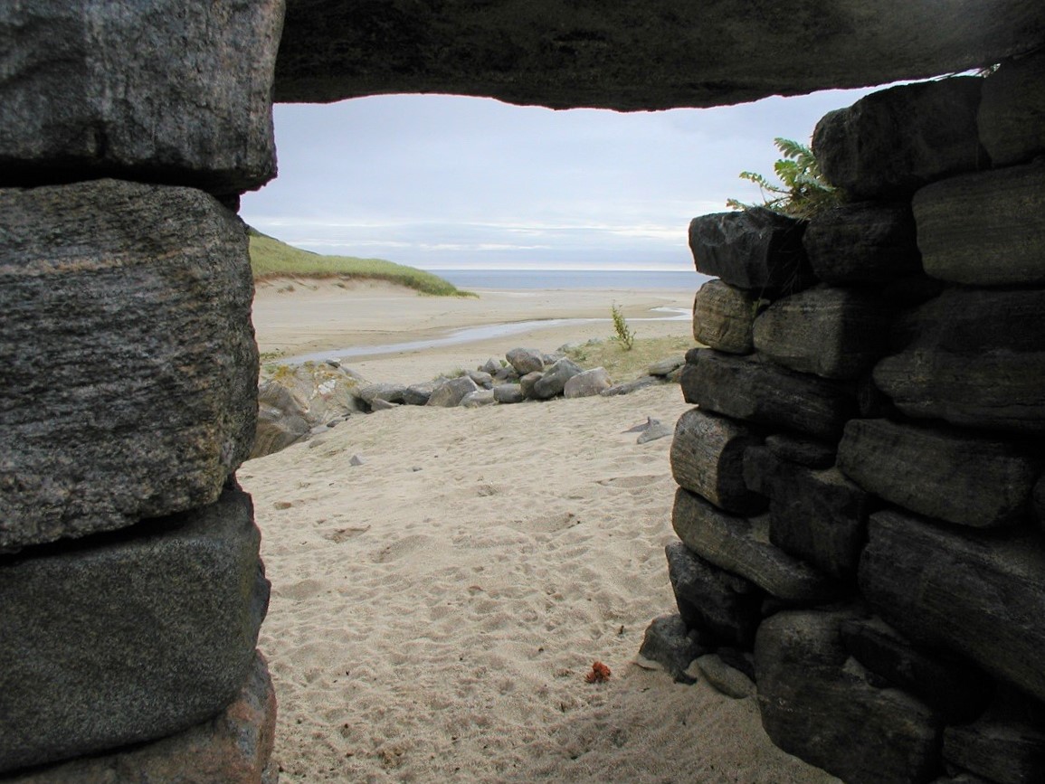
Furthermore, standing in the doorway of a ruin, one feels a profound sense of melancholy. These are not just stones; instead, they represent the “ghostly shapes” of chimneys and windows that once framed the lives of a tight-knit community.
The Builders’ Art
The dry-stone dyking remains a testament to a level of craftsmanship born of necessity. Specifically, these structures show how the islanders mastered their environment through sheer will and skill.
The Inevitable End
There is a deep philosophy in these ruins. Ultimately, they represent the “disappearing remains” of human toil, showing us how nature eventually reclaims even the sturdiest foundations.
A Living Landscape
Mingulay Bay exists as a living entity. This shifting masterpiece of pure white sand slopes sharply upward to meet the soft, emerald grass and jagged rock intrusions. While it remains a place of tactile beauty, it also holds a geological mystery that stops every traveller in their tracks.
The Conundrum of the Great Boulder
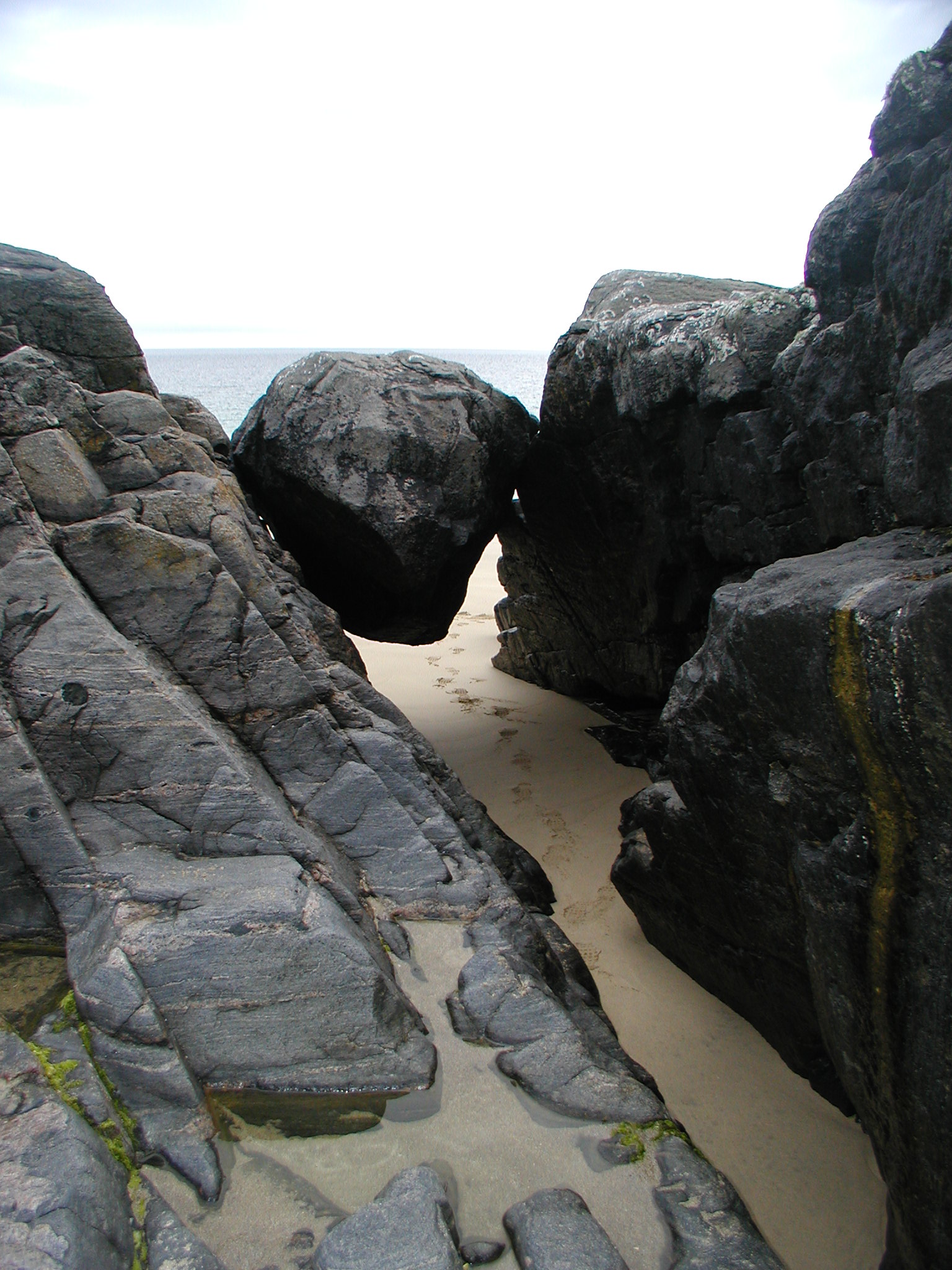
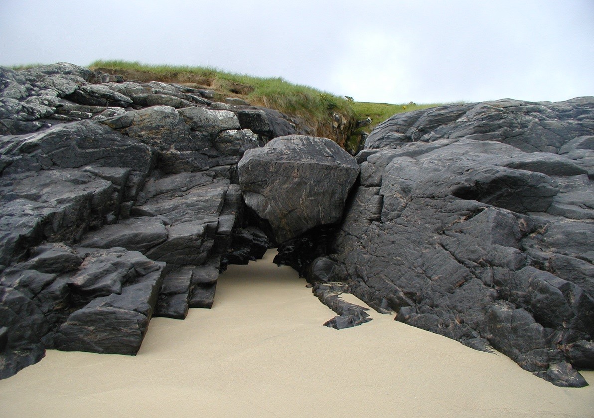
Toward the southern end of the bay, a massive boulder—estimated at over two hundred tons—sits wedged firmly within a cleft in the rocks. This staggering sight invites immediate speculation. One wonders how such a monumental weight found its resting place in such a precise, narrow gap.
-
The Descent: Did the boulder once roll from the towering hills above, perhaps tossed by some mythological giant?
-
The Sea’s Power: Alternatively, did the unimaginable force of a prehistoric “rogue wave” deliver it here, tossing the stone like a pebble from the North Atlantic?
-
The Glacial Legacy: Perhaps it remains as a glacial erratic. In this scenario, the retreating ice of the last Great Freeze left behind this relic as the frozen sheets covering Scotland began to melt.
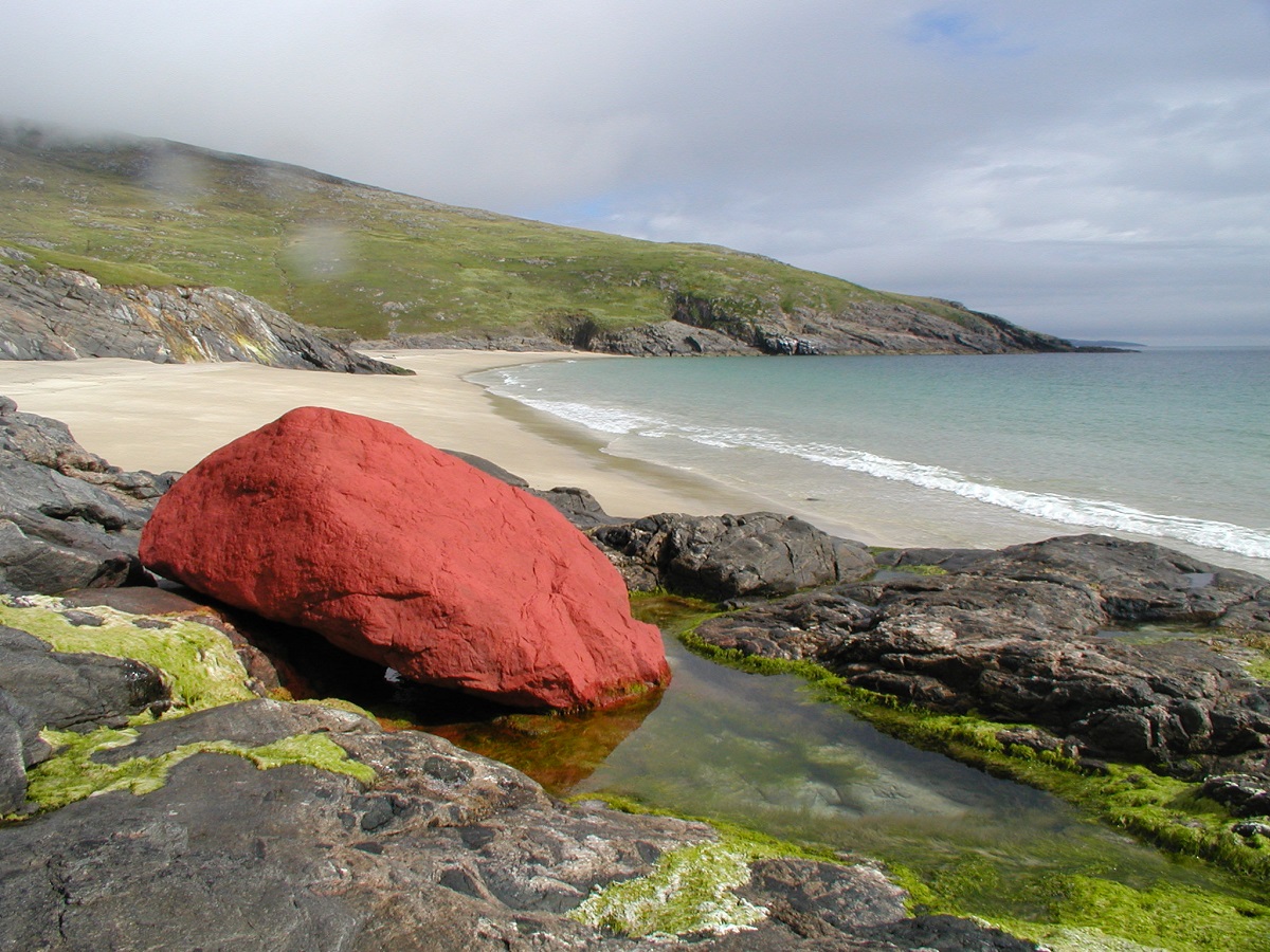
The beach is also home to a very odd red rock. We studied it closely but could not determine if it was painted or naturally red. It is a vivid red so I suspect a creative lodger at the NTS bothy has been quite free with his paint pot and brush.
Scotislands Neighbours:
Other Information; National Trust for Scotland Wiki
Image Gallery
Video Gallery
Sorry no video – need to go back again !