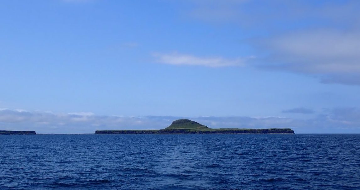
Dutchman’s Cap (Bac Mòr): Landing on One of Scotland’s Most Unusual Islands
Where is Dutchman’s Cap?
Dutchman’s Cap sits within the Treshnish Isles, an uninhabited archipelago scattered off the south-west coast of Mull in Scotland. These islands have guided sailors through the Hebrides for thousands of years, their shapes etched into memory long before modern navigation.
Dutchman’s Cap Treshnish Isles Quick Facts
Here are the essential facts about visiting The Dutchman's Cap what to expect.
- Island Location
- SW side of Mull near Iona
- How to get there
- Yacht, view from tour boats
- Highlights
- Pronounced shape, black lava rock and stunning views from abundant un-grazed plateau
- Reasons to Visit
- A landing of this island needs luck and calm day
- Island Type
- Uninhabited
- Highest Point
- 86 m (282 ft)
- Area
- 225 ha (7⁄8 sq mile)
- Interesting facts
- Designated as a Site of Special Scientific Interest, a Special Protection Area and is part of the Sea of the Hebrides Marine Protected Area
Where is Dutchman’s Cap Treshnish Isles
Island Experience
Why “Dutchman’s Cap”?
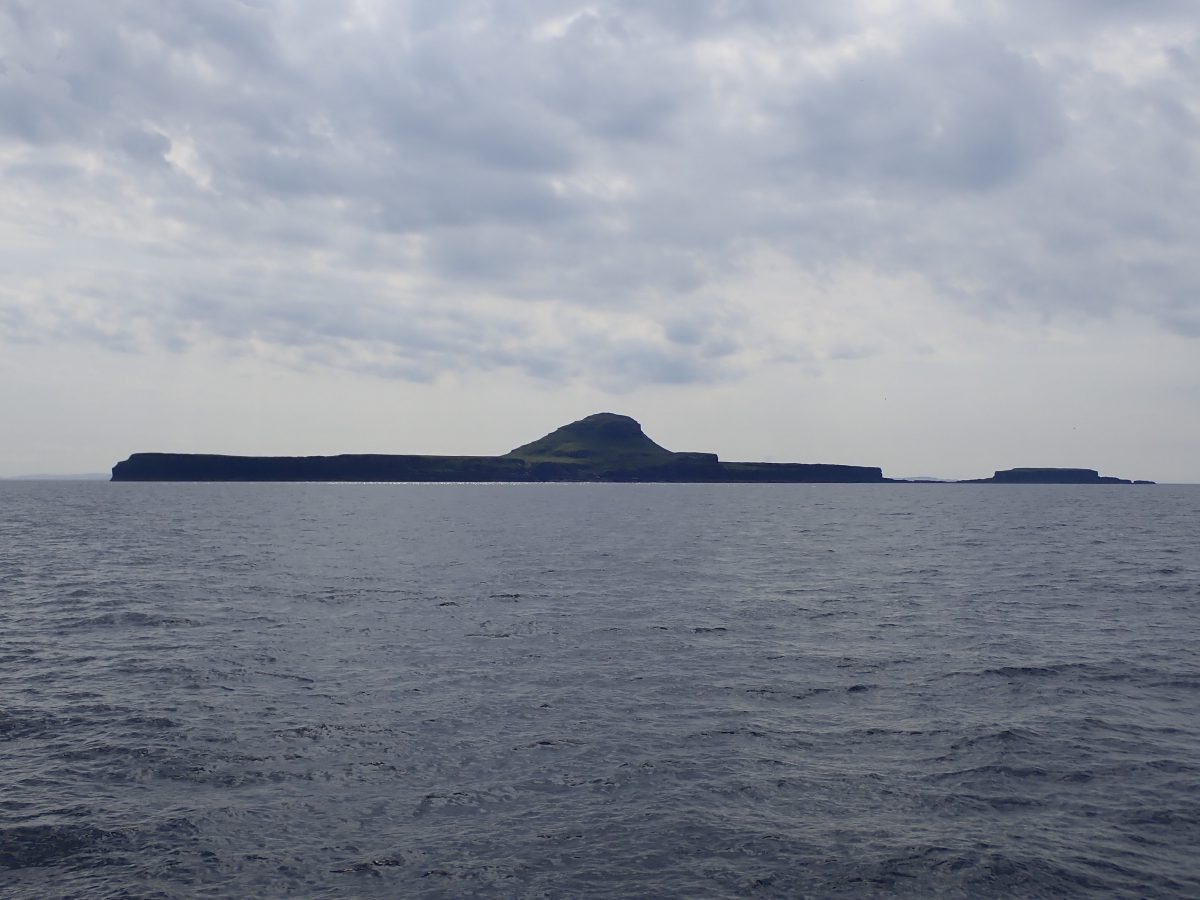
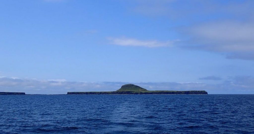
Bac Mòr is often called Dutchman’s Cap because of its unmistakable shape. From a distance, the island looks like a perfectly formed hat—some say a Dutch sailor’s cap, others a Mexican sombrero.
The Gaelic name has a couple of possible interpretations. Mor simply means large, but Bac can mean a bank, or also an obstacle or hindrance.
There are some places you see from afar for years—quietly passing by, always promising “next time.” For me, that place was Dutchman’s Cap rising out of the Atlantic as one of the most distinctive silhouettes in the Hebrides.
In July 2023 the care of The Treshnish Isles passed from The Hebridean Trust charity to The National Trust for Scotland. They are designated a Site of Special Scientific Interest SSI and a Special Protection Area SPA due to their importance for breeding seabirds.
Volcanic Origins
Like much of Scotland’s west coast, Bac Mòr is born of fire. Its central peak is the remnant of an ancient volcanic cone, surrounded by a wide, flat plateau formed from old lava flows.
Chance in a Million
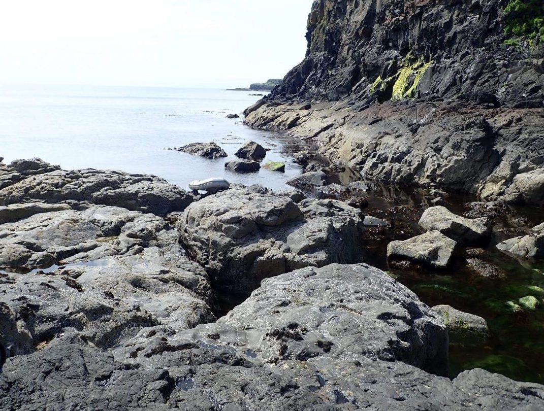
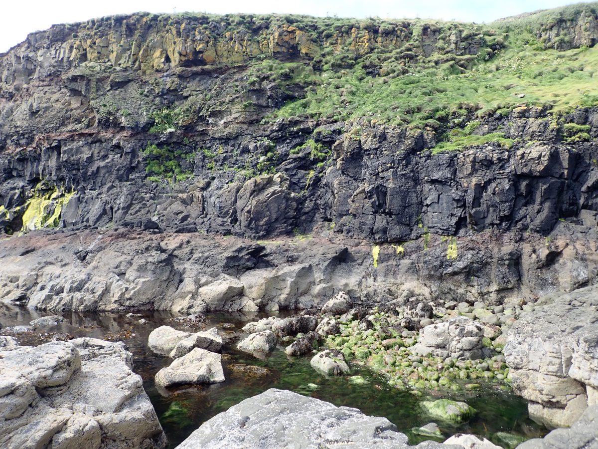
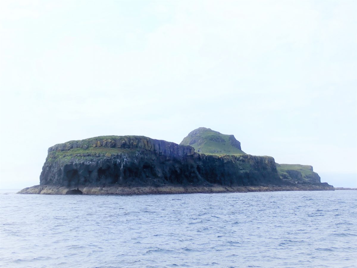
Having sailed past Bac Mor on many occasions the opportunity presented itself to land on the island on what was a totally flat calm sunny weather. The ‘Cap’ stood proud on a blue sea under a blue sky and looked very inviting. We positioned Springtide on the east shore opposite a flat spit of lava that projected out from the sheer cliff edge. On close approach the island is quite clearly weathered lava, black and pitted by hundreds of thousands of years of west coast weather.
Landing on Island
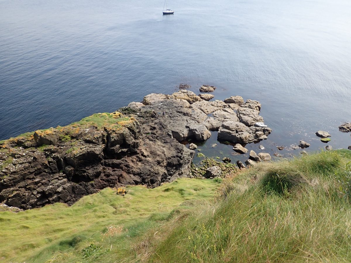
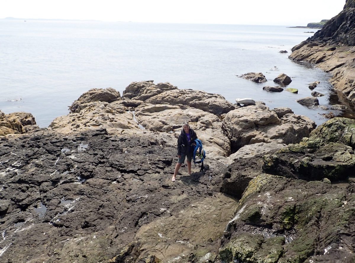
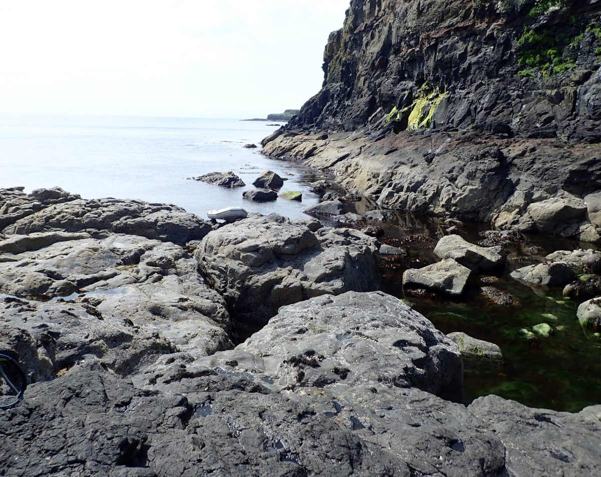
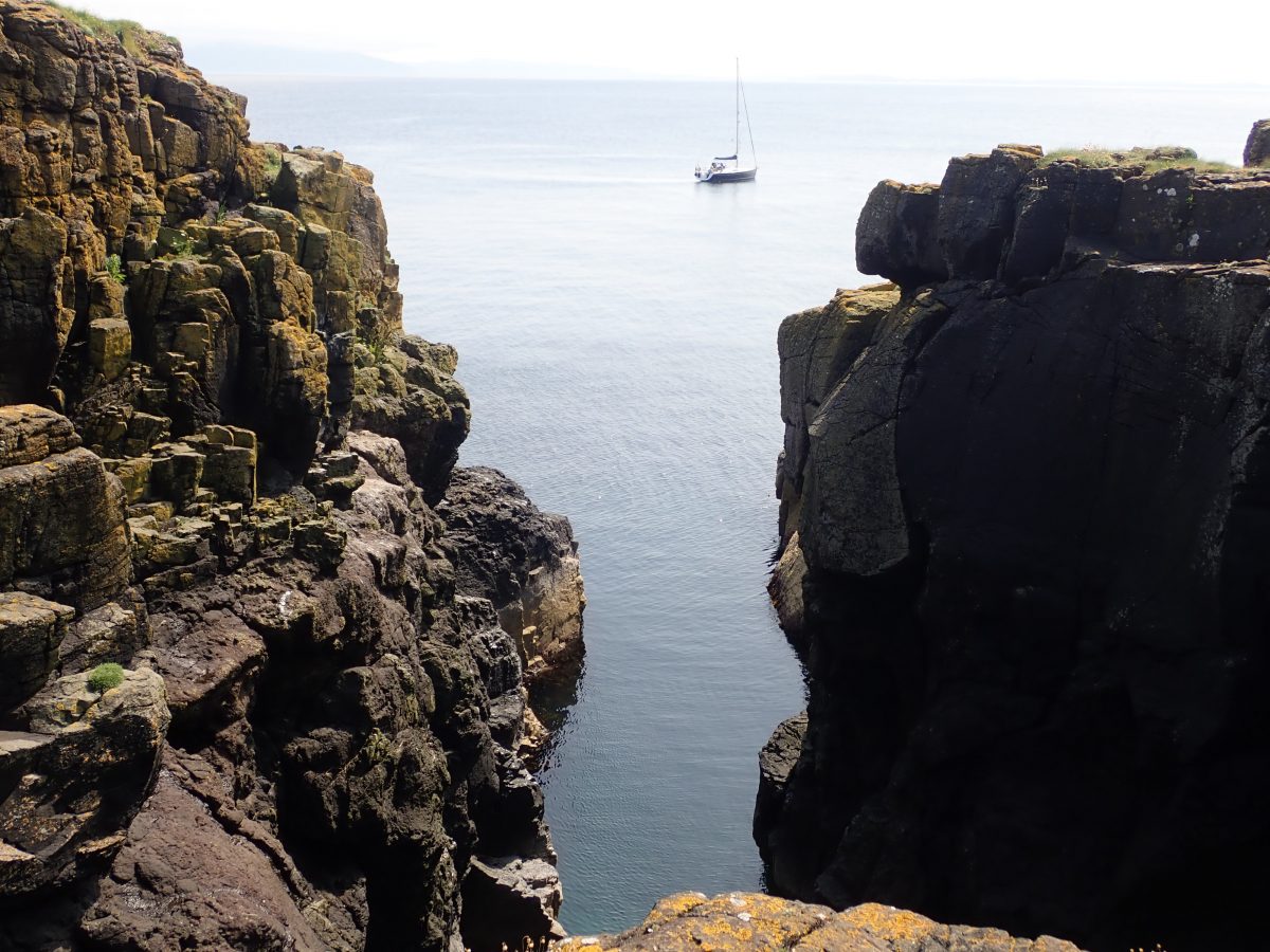
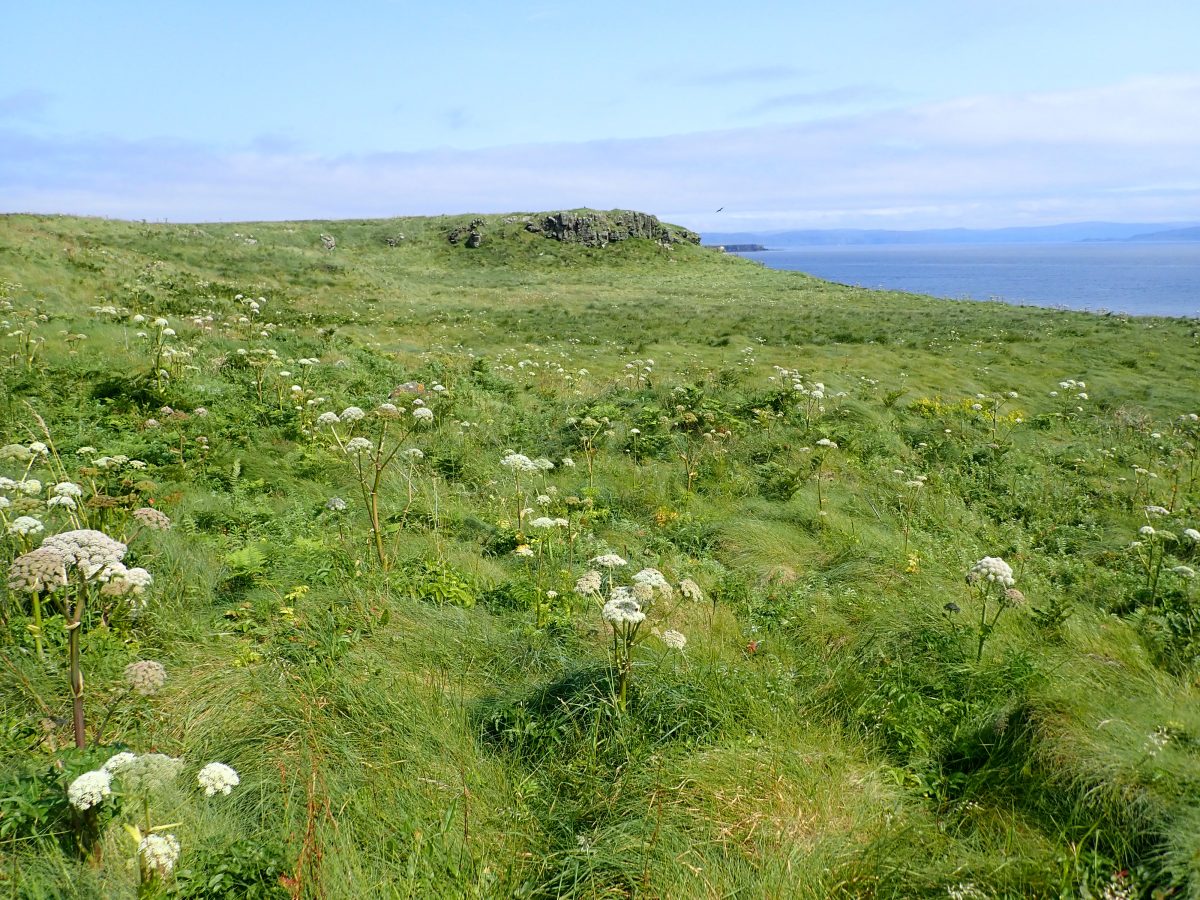
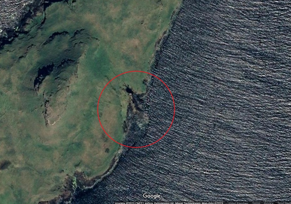
We landed below a gully or split in the cliff face. It was a scramble on all fours to climb up the to grassy plateau. On broaching the plateau, a wonderful open grassland stretched to the north. Beyond that the remainder of the Treshnish isles lay quietly in light blue sea . The pleasure of landing on an un-grazed Scottish island is a delight with thigh deep grass, wild meadow flowers and birds darting from bloom to bloom.
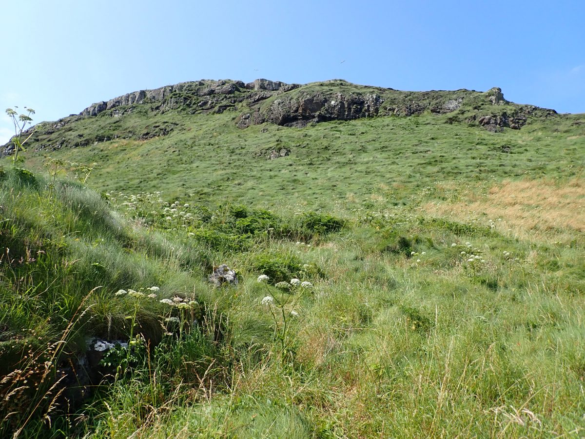
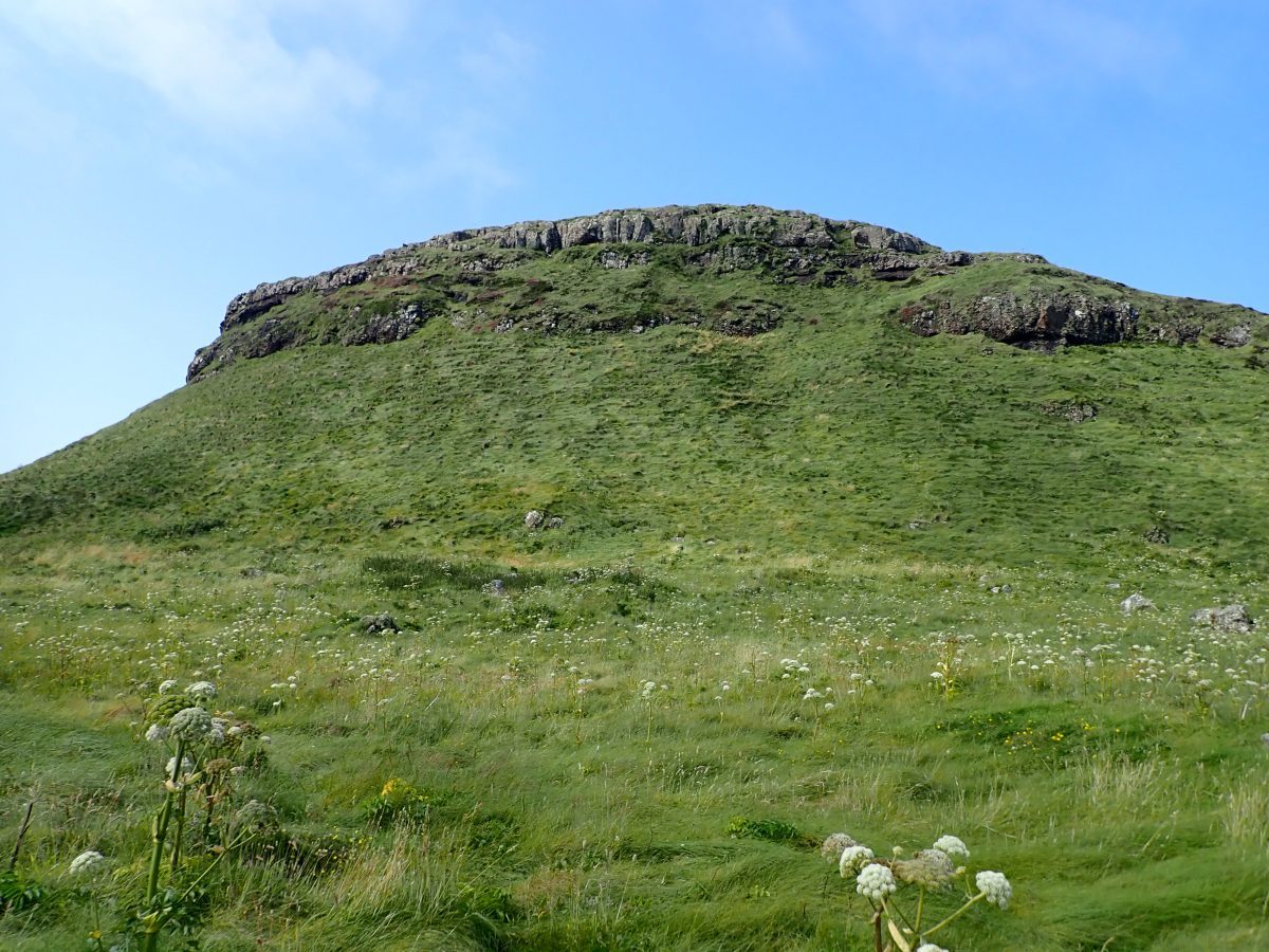
The island is almost devoid of heather with a deep carpet of grasses and some bracken. The breeze was just strong enough to bend the grass over showing its silvery underside. Waves of shiny grass fluttered north pushed on by the puffs of wind coming from the south.
Climbing the Volcanic Cone
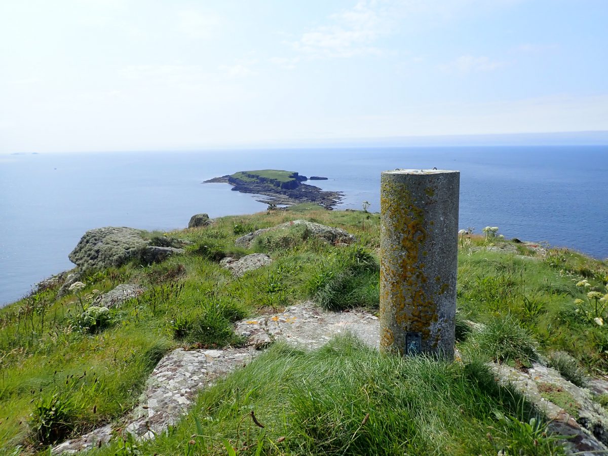
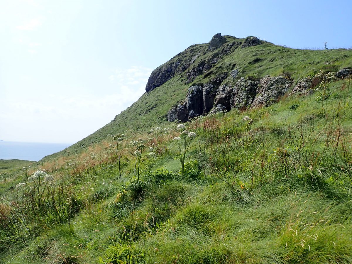
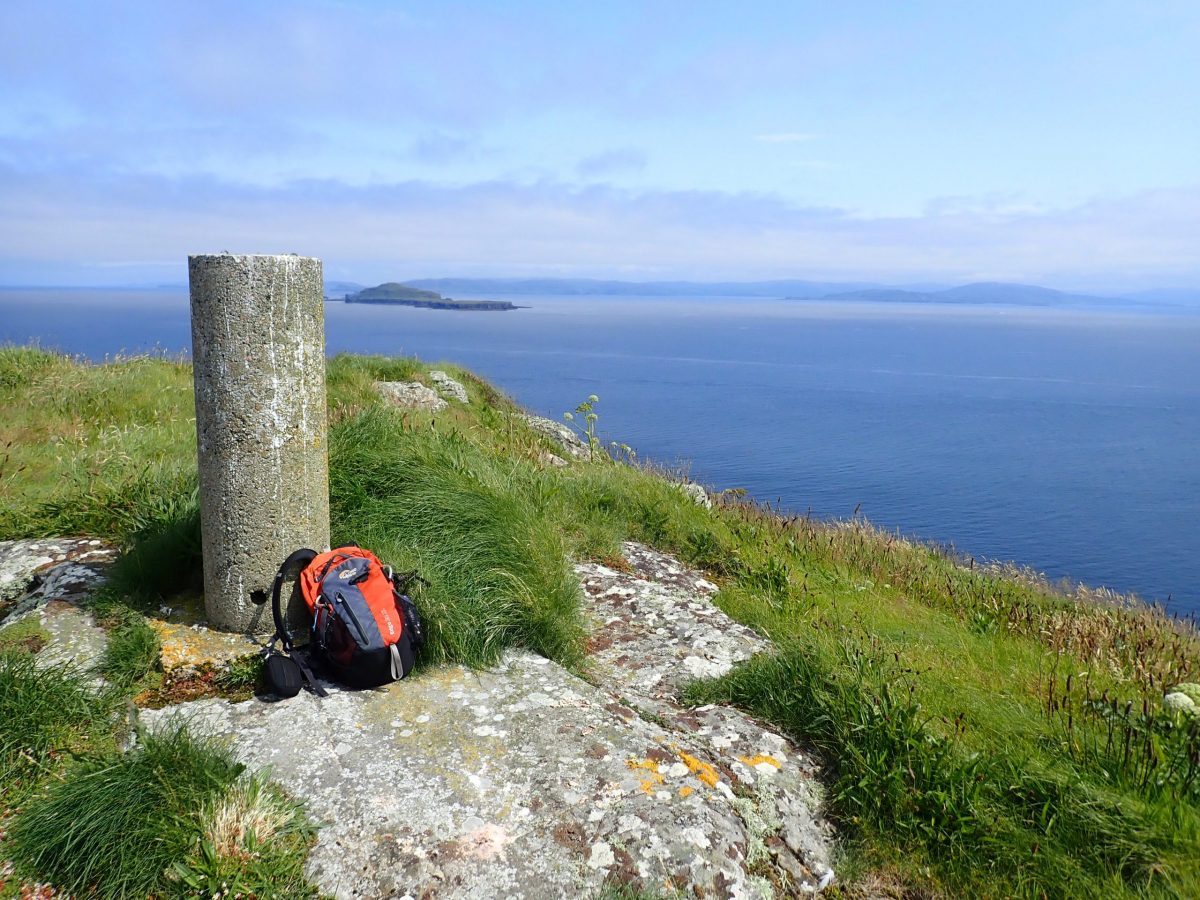
Time was of the essence, so I made a straight line up the steep bank aiming to summit along the north ridge. With the route topping out at the ‘lump’ of rock protruding from the plateau. It was a complete pleasure to make my way up and up towards the top. One last scramble brought me out to the rounded summit that is topped with a concrete indicator and trig point.
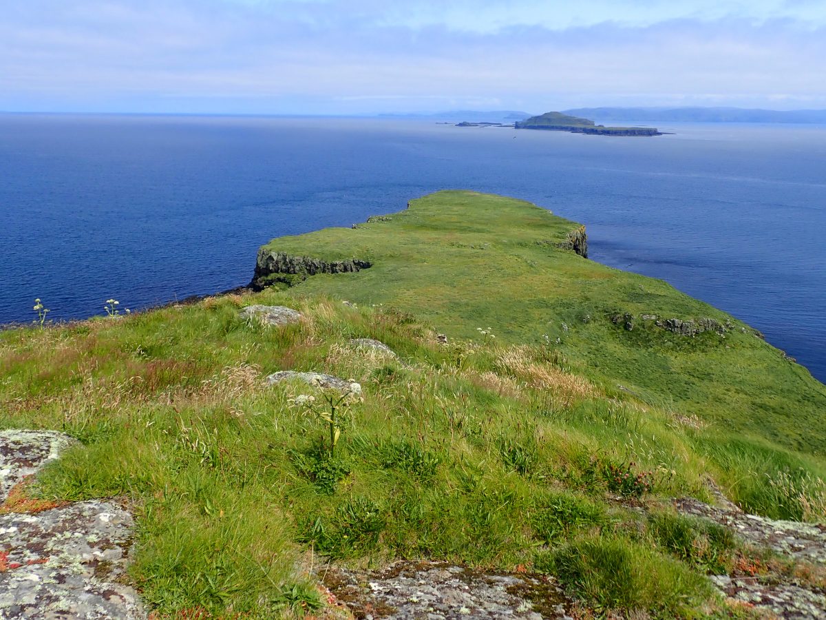
The views were breath-taking. Coll, Tiree to the west. Iona, Staffa to the south east with the backdrop of Mull to the east. To the north the rest of the Treshnish Islands, west corner of Mull and Ardnamurchan point beyond. Further north Eigg, Rum and the faint shape of the Cullins on Skye. stood above the blue sea.
Springtide Waiting
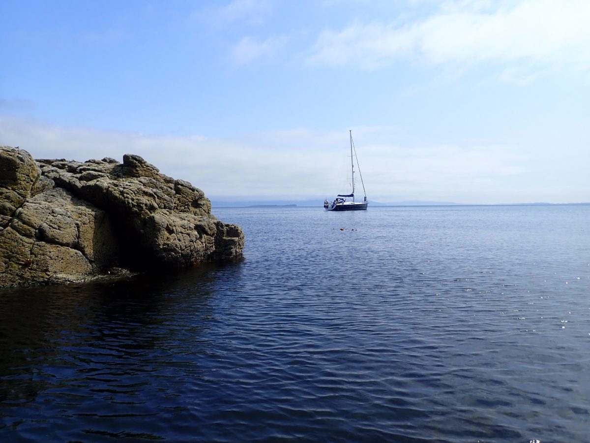
My taxi was waiting so after a quick 360 video and a minute to soak up the view I set off back down the steep slope to the gully. The depth of the grass allowed me to throw myself down the slope bouncing on the soft verdant cushion. The trip down took a fraction of the time of the grind up the hill. Once back in the dinghy we paddled very slowly back to the yacht. The visit to the island had been wonderful all the more enjoyable in the glorious Scottish summer weather.
Why This Place Stays With You
Dutchman’s Cap isn’t just another island—it’s an experience. Remote, raw, and shaped by both fire and ocean, it captures something essential about Scotland’s west coast.
It’s not easy to reach. It doesn’t try to accommodate visitors. And that’s exactly why it feels so special.
Standing on that grassy plateau, with nothing but sea and sky in every direction, I was reminded that some of the best places aren’t designed to be visited—they’re simply there, waiting for the rare moment when everything aligns.
Our Anchorage
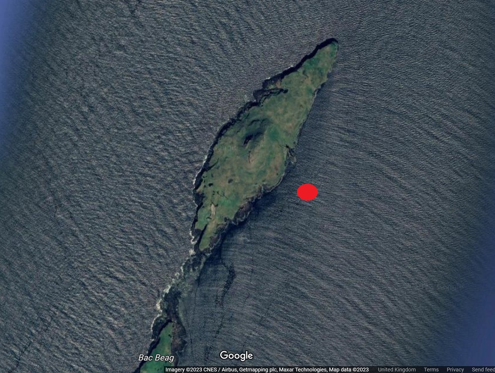
There is no real sheltered anchorage off Lunga. Sheer cliffs or lava flow reefs make any approach in a keel boat quite a challenge. We struck lucky as it was a clam day and we had time to explore. Nick and crew were happy to stand off in Springtide as we explored the island.
We chose what looked like a shelf of lava on the east side. The image below shows the rough position and the gut in the cliffs that allowed me to scramble up to the lush grass plateau.
On most days, landing simply isn’t possible. We were lucky—exceptionally calm conditions made exploration feasible while the boat stood offshore.
References
National Trust for Scotland Plan your trip
Dutchman’s Cap on Wikipedia
Iona Treshnish Isles
Boat tours to Treshnish Isles
Explore other Islands
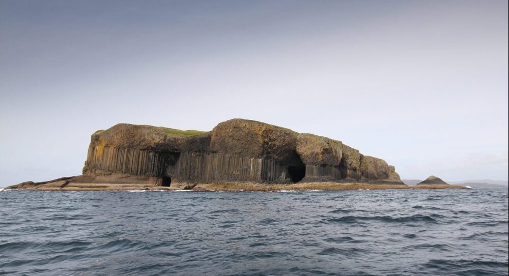
Image Gallery