Introduction
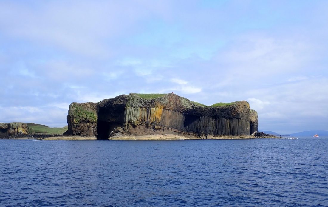
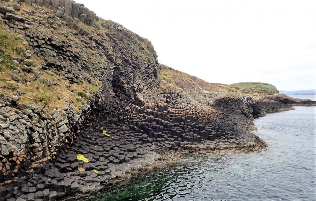
The name Staffa is derived from the Old Norse for stave or pillar island. This is due to its distinctive columnar basaltic construction. A must-visit island just north of Iona and accessible by boat tours from nearby Mull.
Location
Information
Staffa
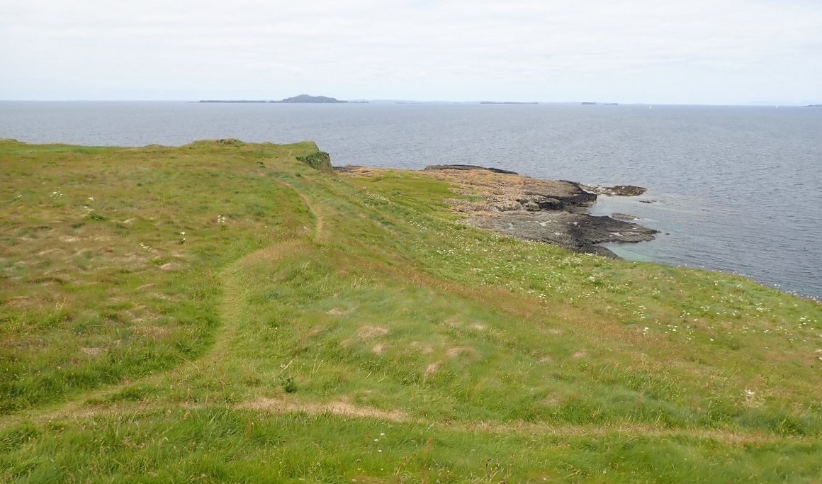
Staffa from the Old Norse for stave or pillar island is an island of the Inner Hebrides Scotland. The Vikings gave it this name as its columnar basalt reminded them of their houses, which were built from vertically placed tree-logs. Staffa lies about 10 kilometres west of the Isle of Mull. The area is 33 hectares (82 acres) and the highest point is 42 metres (138 ft).
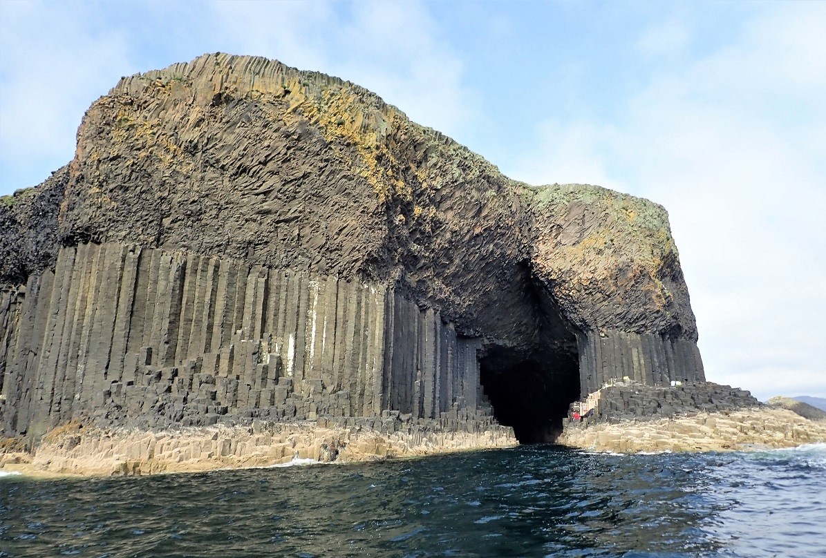
Staffa was hardly known until 1772, when the botanist Joseph Banks highlighted the wild, natural beauty of the island. It soon became a must-see location. Famous visitors include Queen Victoria, Lord Tennyson, Jules Verne, Robert Louis Stevenson and John Keats. Like many they fell under the spell of the island.
National Trust for Scotland
The island of Staffa came into the care of the National Trust for Scotland in 1986. A gift from John Elliott, Jr, of New York in honour of his wife Elly’s birthday. Staffa was designated a National Nature Reserve in 2001.
Above all Staffa is one of Scotland’s most iconic sights and renowned the world over for its stunning rock structures. In prehistoric times Staffa was covered by the ice sheets which spread from Scotland out into the Atlantic Ocean beyond the Outer Hebrides. After the last retreat of the ice around 20,000 years ago, sea levels were up to 125 metres lower than at present. Around 14,000 years ago it is likely that Staffa was part of a larger island lying just off the coast of present day mainland Scotland. This landmass would have included what are now the islands of Mull, Iona and the Treshnish Isles.
Geology
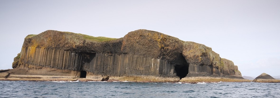
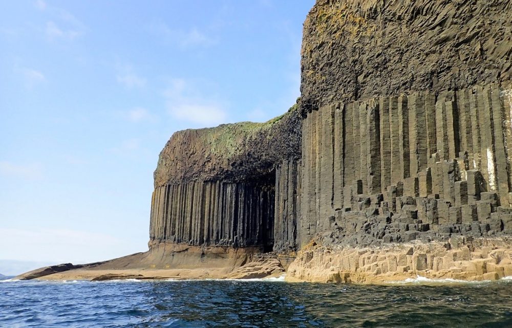
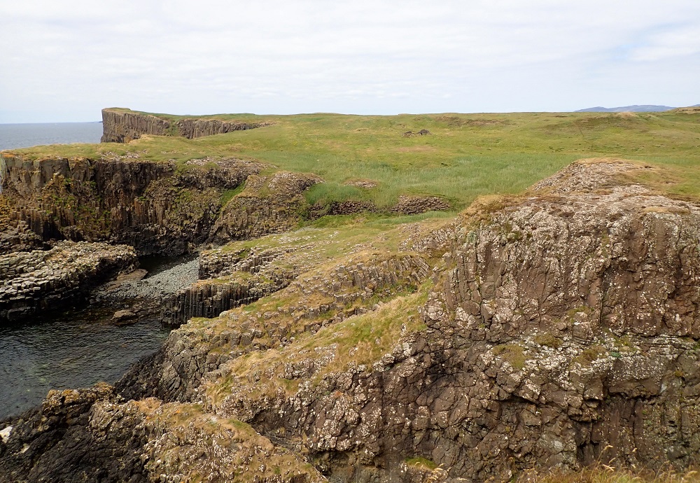
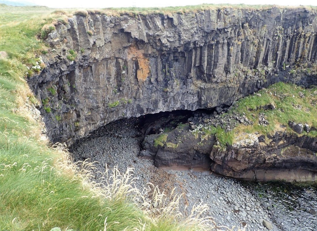
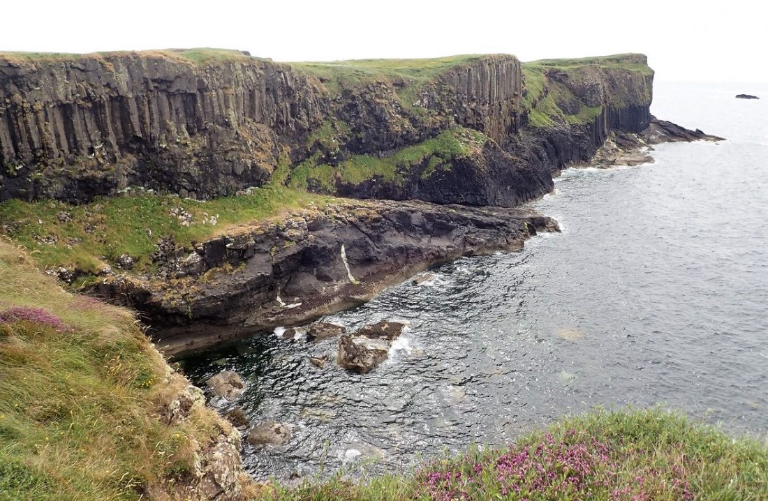
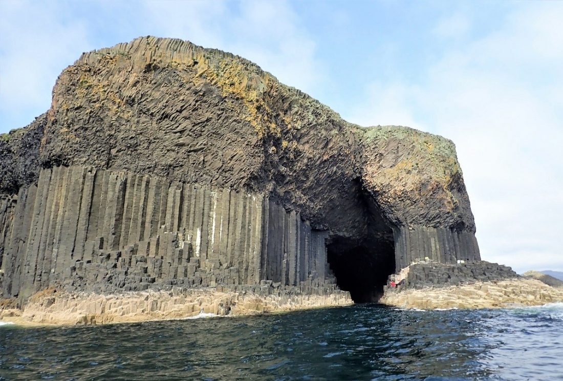
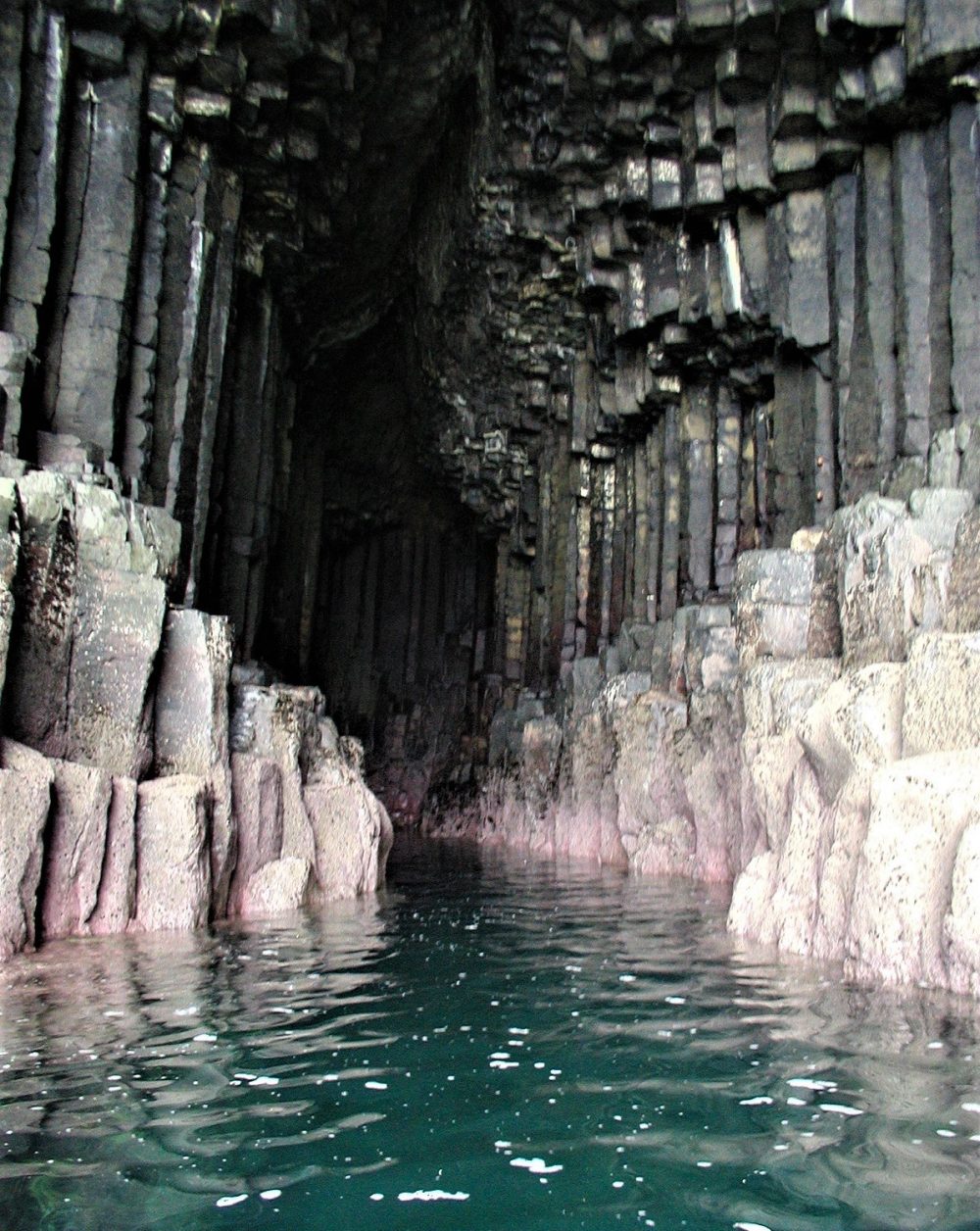
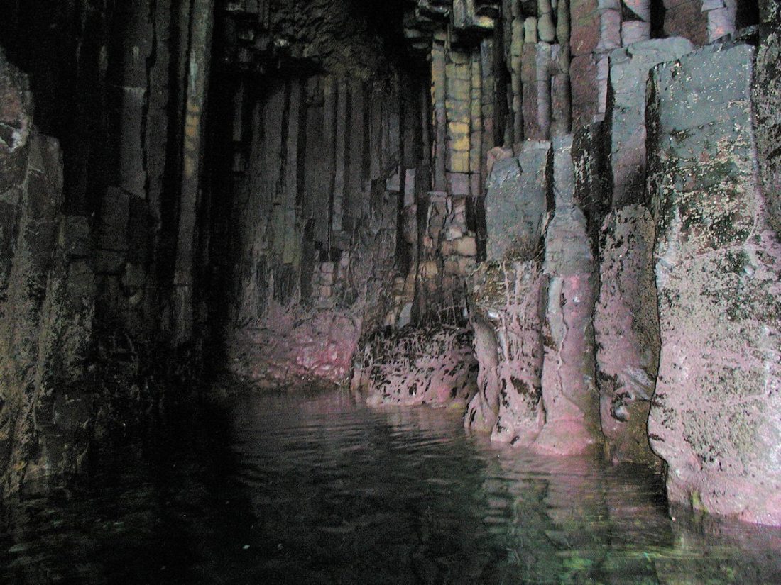
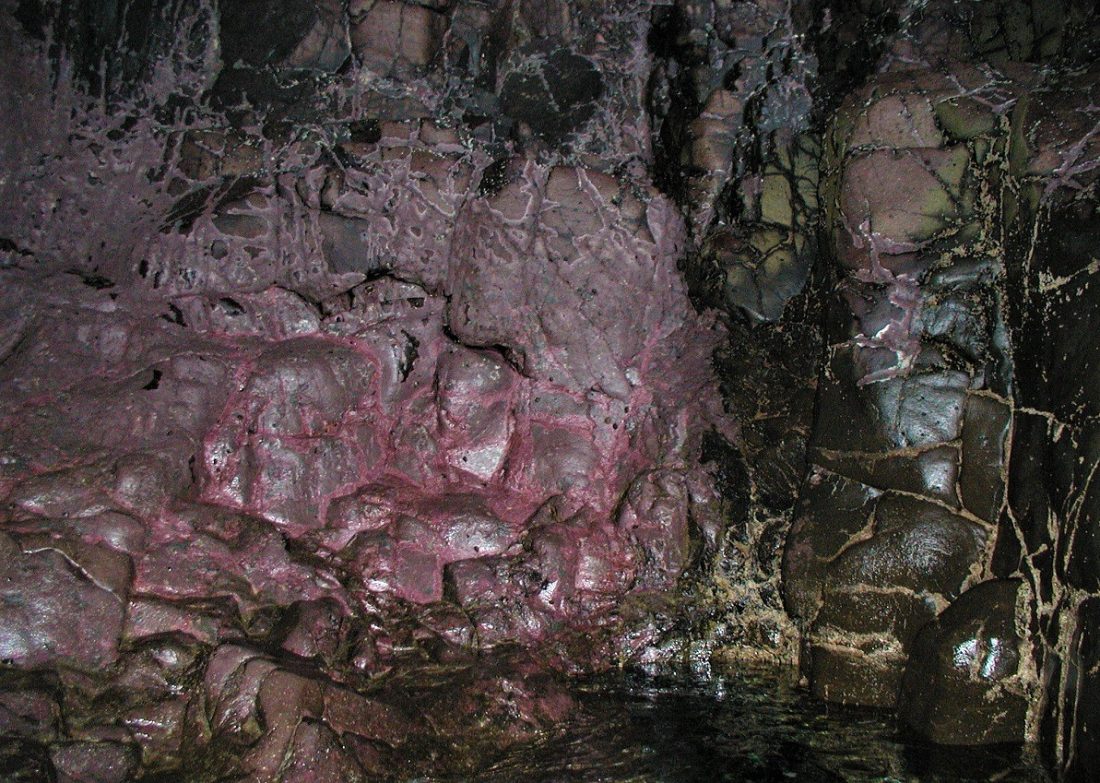
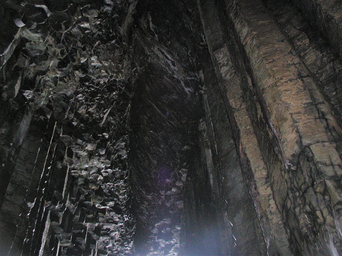
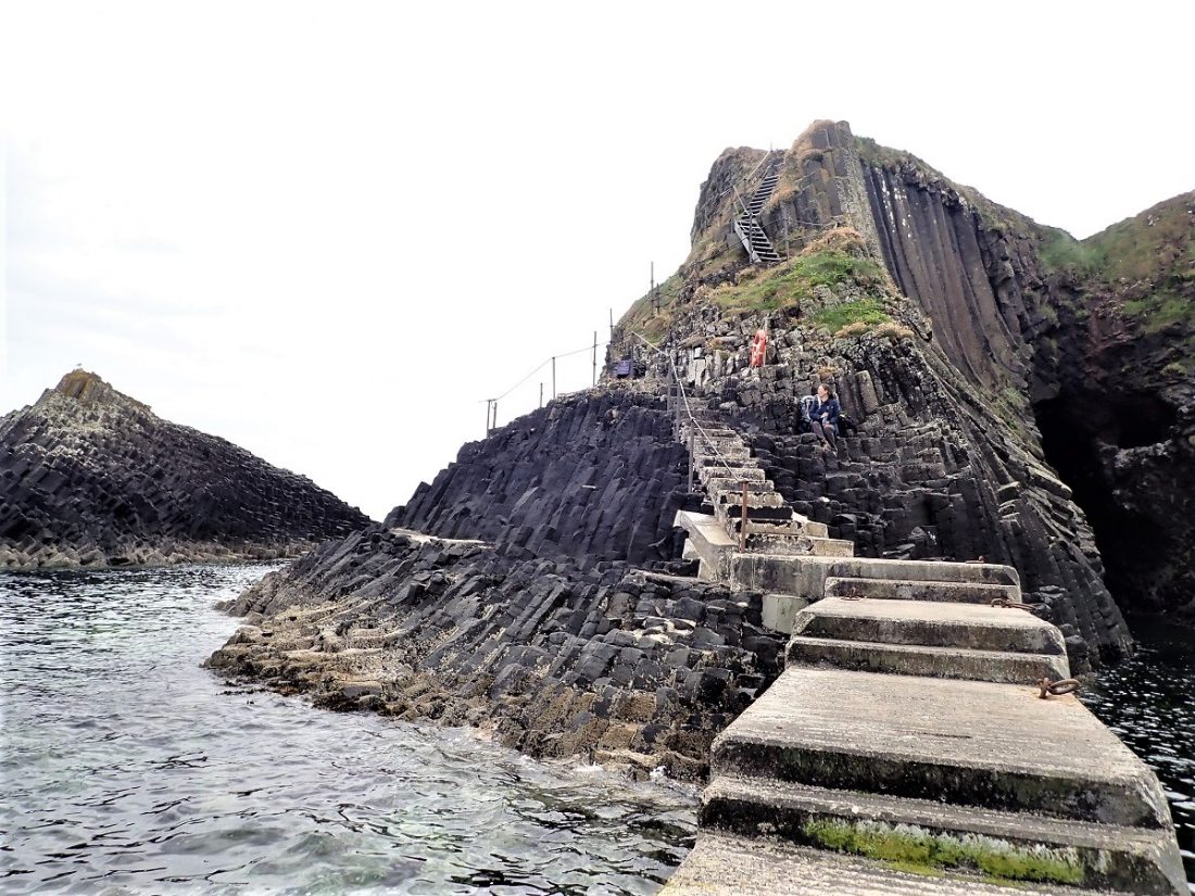
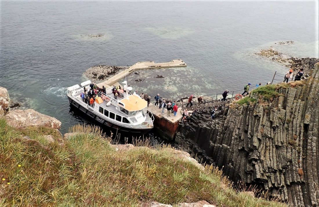
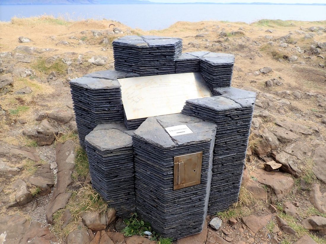
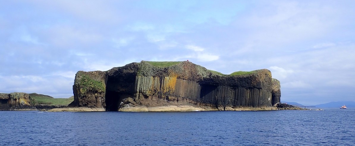
Staffa consists of three layers of rock of different types, covered with a surface of rich soil and lush grass. The lowest layer is tuff, a mix of compressed volcanic ash and dust. The middle layer is composed of the basaltic columns. The uppermost is made up of jumbled and fractured columns and volcanic debris.
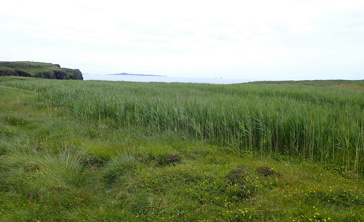
The approach to Staffa is breath-taking as the true complexity of the rock formations become clear. Large vertical shafts of rock rise up above you, to a top mash-up of confused rocks. In turn that is topped by a lush green carpet of grasses and reeds.
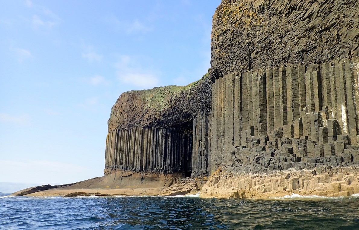
You can see similar formations are found at the Giant’s Causeway and on the island of Ulva and at Ardmeanach on the Isle of Mull. The ‘Staffa Group’ found in the vicinity of Mull erupted 55–58 million years ago.
Goat Cave and Clamshell Cave
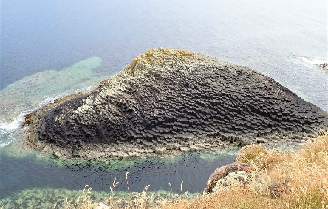
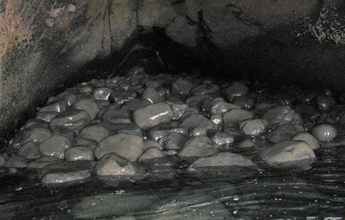
On the east coast is Goat Cave and Clamshell Cave. The latter is 10 m high, about 6 m wide at the entrance, and some 45 m long, Near this cave is the pyramidal rock islet of Am Buachaille (‘The Herdsman’). Other outlying rocks include Eilean Dubh to the north-west and a series of skerries stretching for half a kilometre to the south-west. On the southwest shore are Boat Cave and Mackinnon’s Cave (named after a 15th-century abbot of Iona). Mackinnon’s cave has a tunnel connecting it to Cormorant Cave. These caves lie to the south-west and can be accessed from the bay of Port an Fhasgaidh at low tide.
Fingal’s Cave
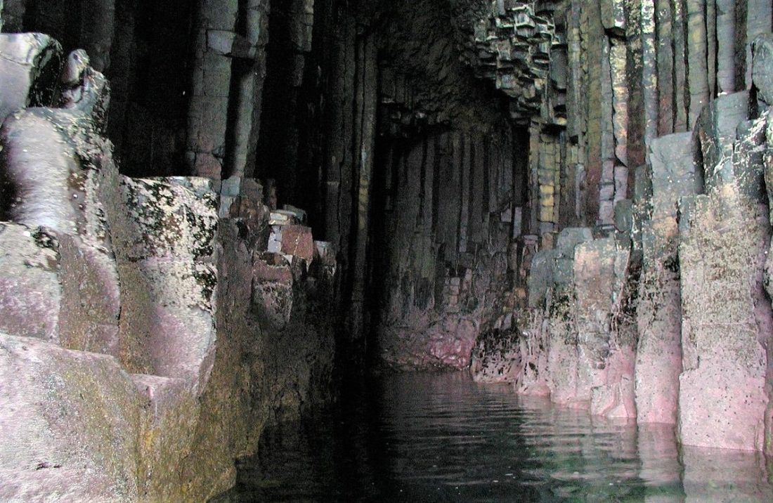
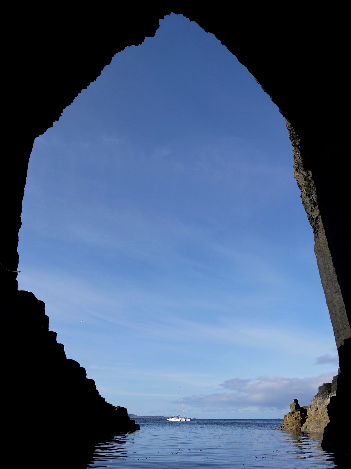
Staffa’s most important and famous feature for you to visit is Fingal’s Cave, a large sea cave located near the southern tip of the island. Some 20 m high and 75 m long the cave is formed in cliffs of hexagonal basalt columns. This cliff face is called the Colonnade or The Great Face and it was these cliffs and their caves that inspired Felix Mendelssohn’s Die Hebriden. (English: Hebrides Overture opus 26). The piece was premiered in London in 1832.

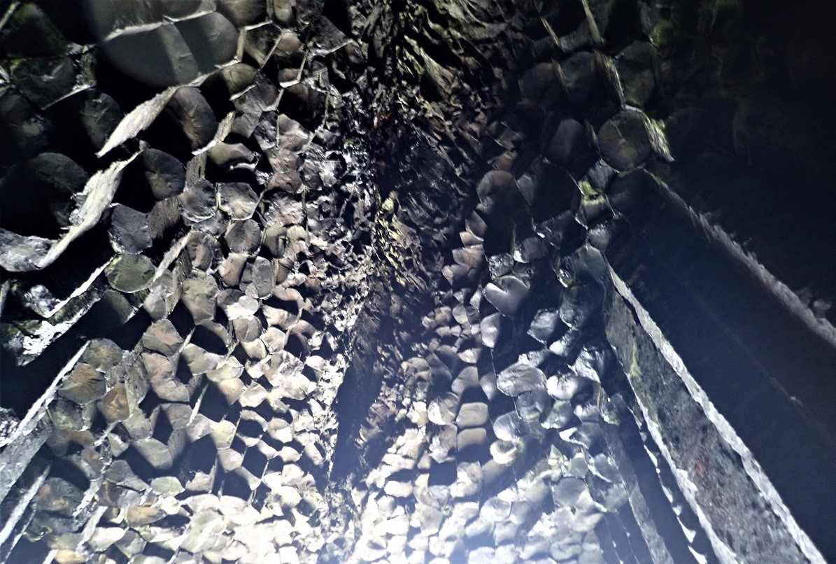
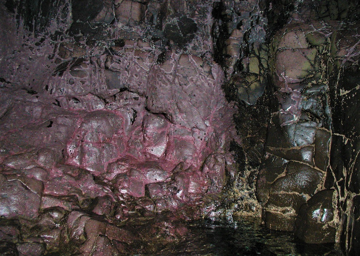
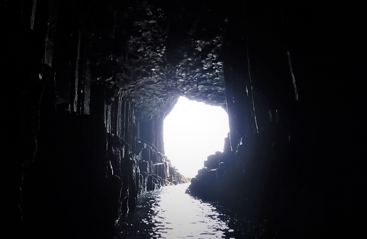
The original Gaelic name for Fingal’s Cave is An Uamh Bhin – “the melodious cave” – but it was subsequently renamed after the 3rd-century Irish warrior Fionn MacCool.
Staffa Experience
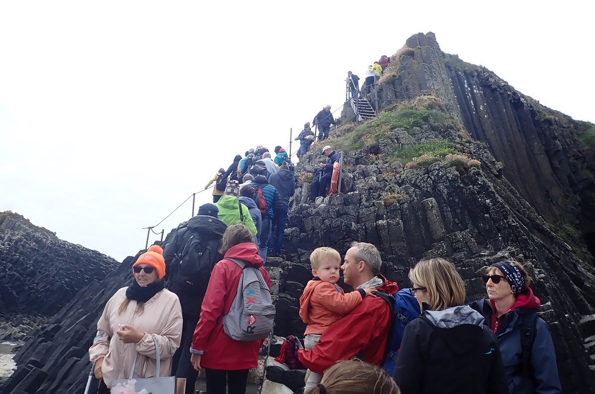
I have visited Staffa on several occasions. A few as casual visiting yachtsman and a couple of times in my role as Island Manager for the National Trust for Scotland. Each of these visits made significant impressions upon me. These ranged for incredulity of the geological structures and dismay. The latter caused by the unregulated and over-visitation causing erosion and a negative impact on the flora, fauna and natural environment – of what is a National Nature Reserve.
Over Visitation
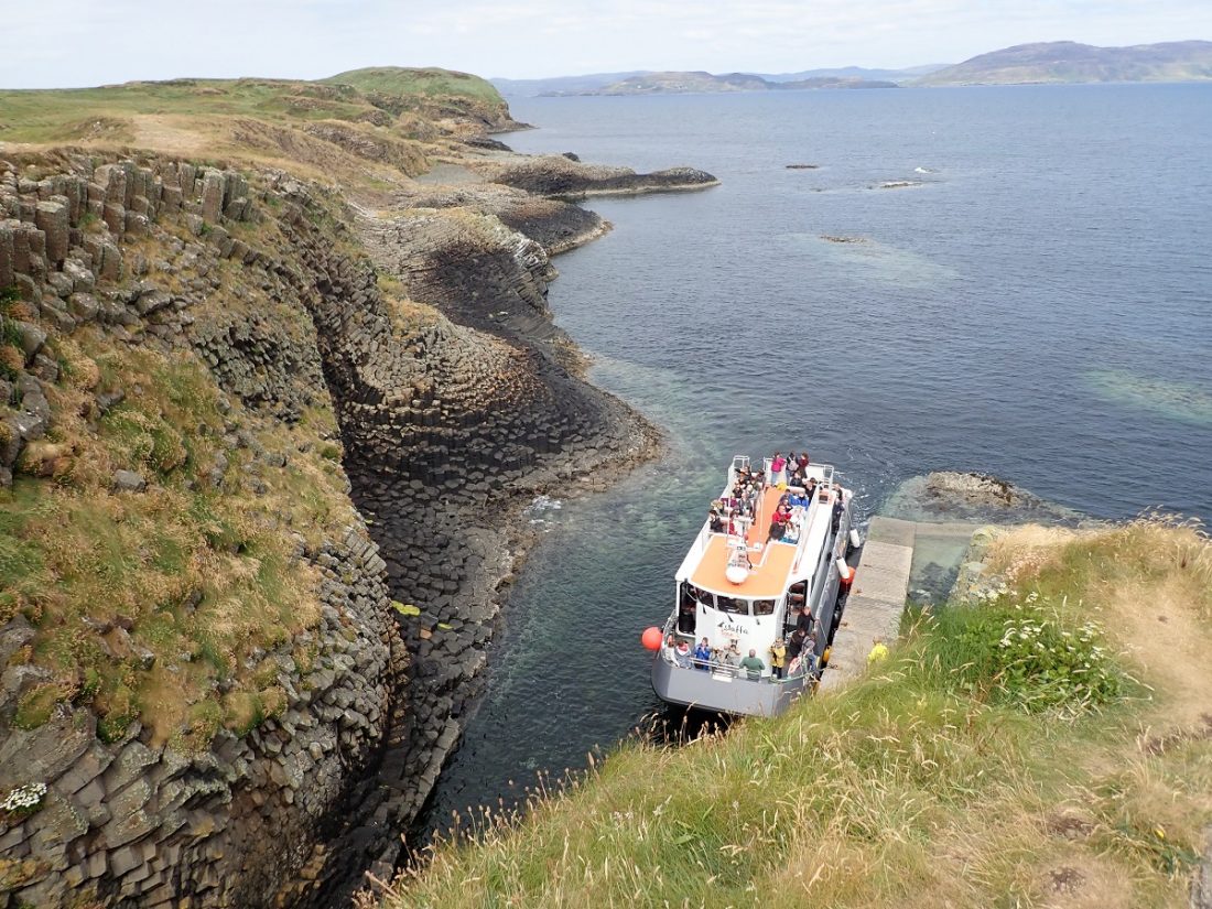
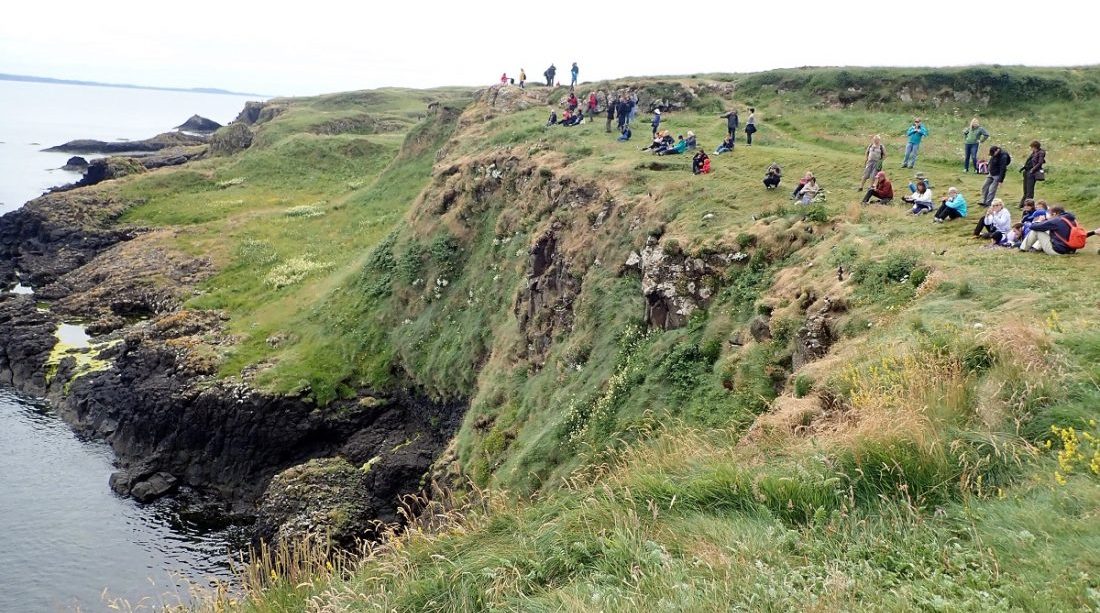
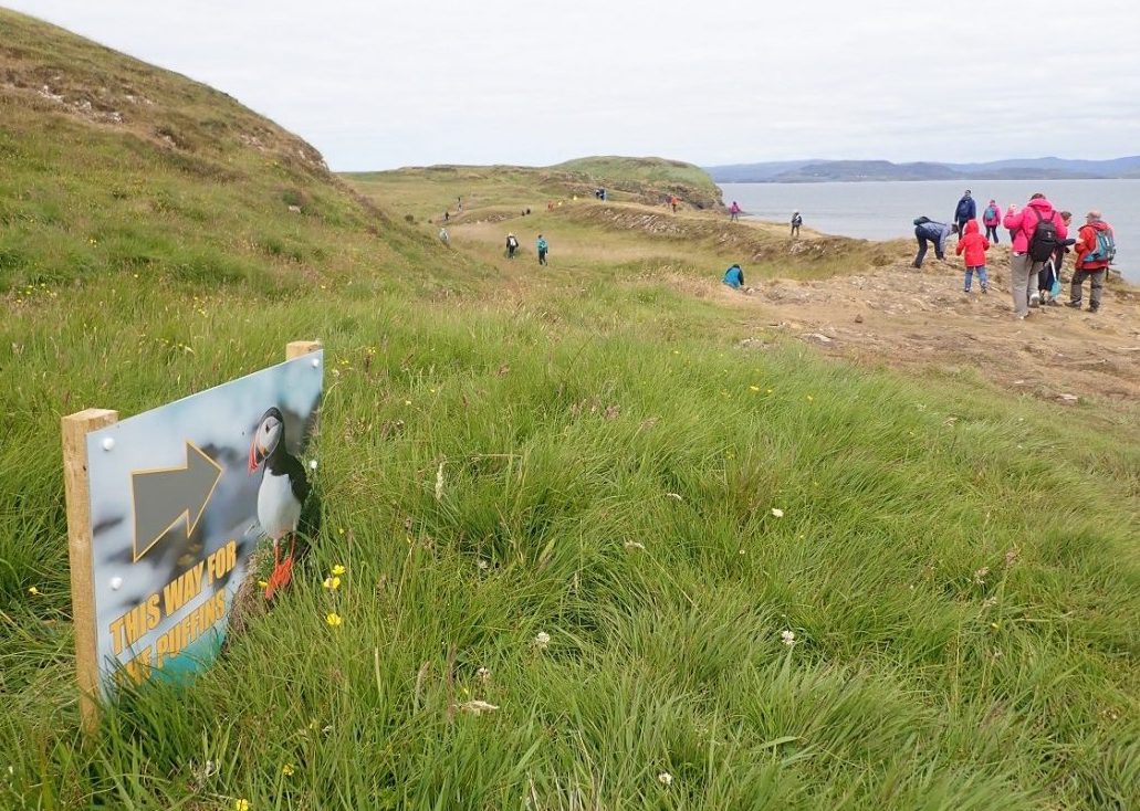
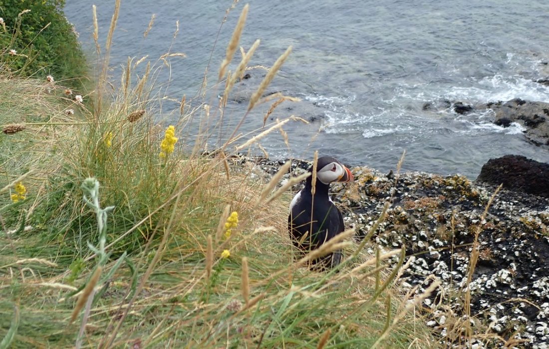
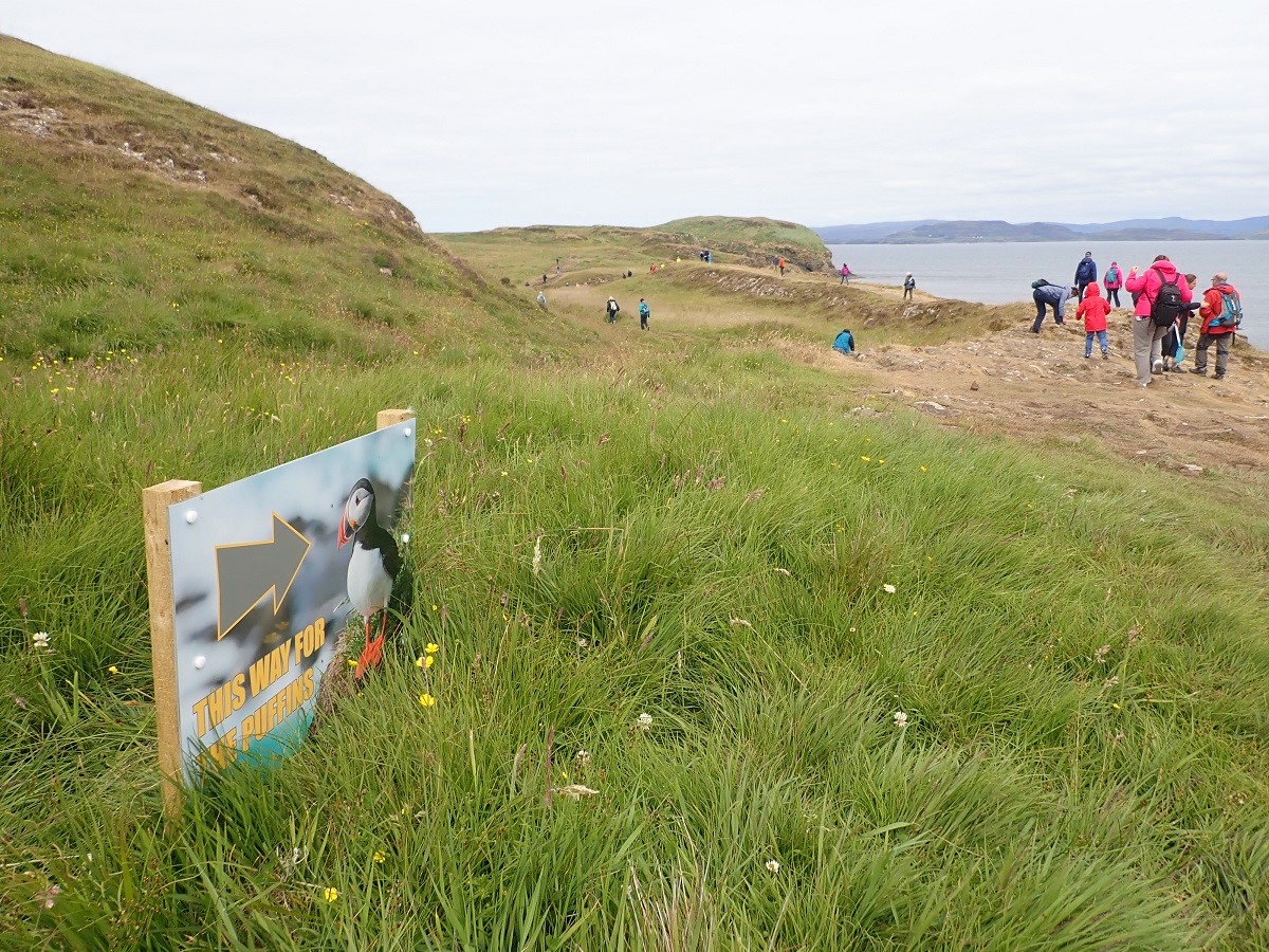
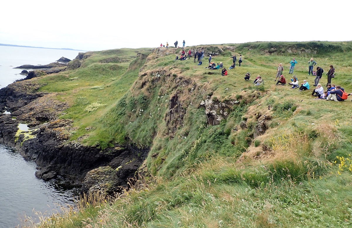
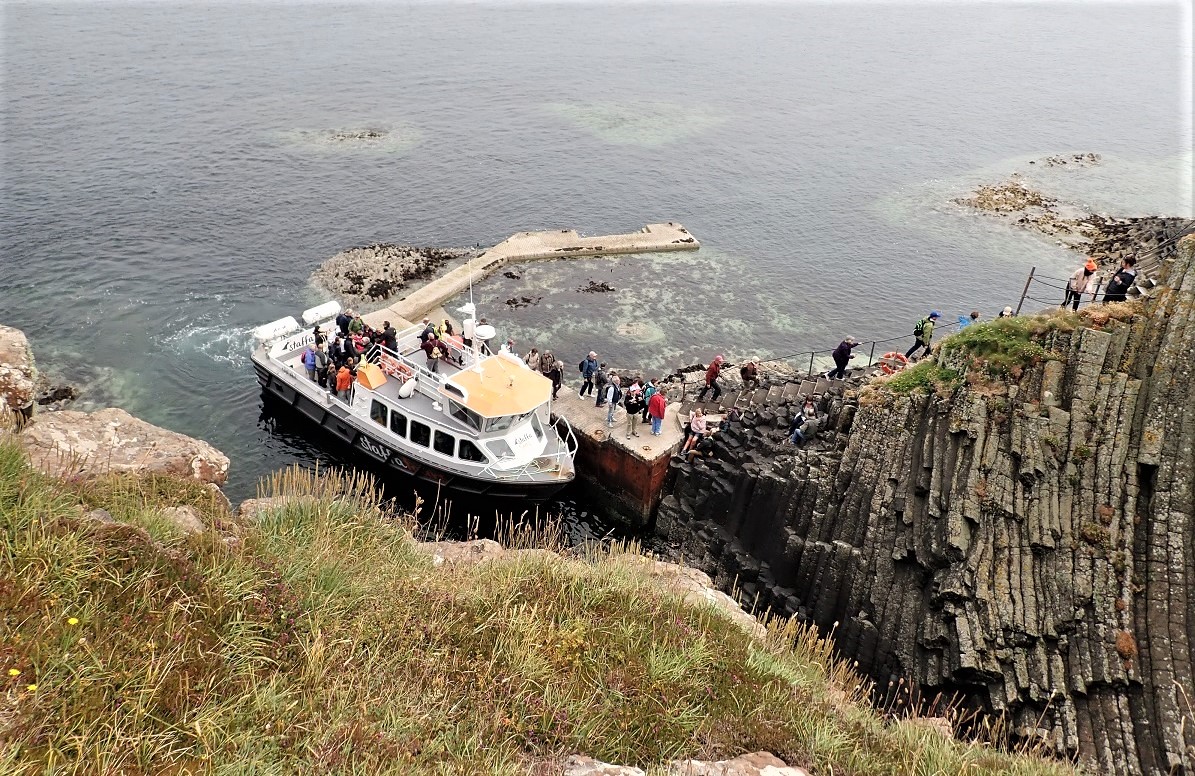
Over 80,000 people land on Staffa each year. As I stood there as the new Island Manager it was clear to me the NTS had lost control and had no strategic visitor management plan. It resembled the wild west with tour boats dropping off hoards of ‘puffin hungry’ tourists. The boat operators were, rightly supplying the insatiable demand to step ashore and beat a path to the cliffs to snap and stare at the Puffins.

Unofficial Tour Guides
My jaw dropped as a young unofficial tour guide bounded up the steps and ushered a group to the puffin vantage point. Later I found out he was on tips only and was making a fortune, as were the boat operators. To put this in context after a quick reference to boat trip prices and approximate headcount meant the island was generating well over £1m in visitor fees. The NTS share of that was… a small donation at the end of the year from the operators.
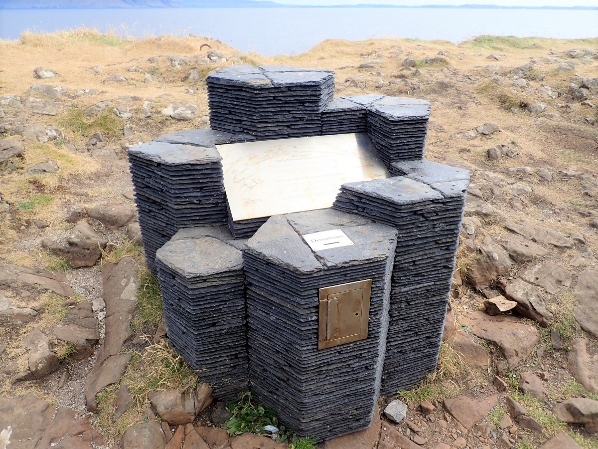
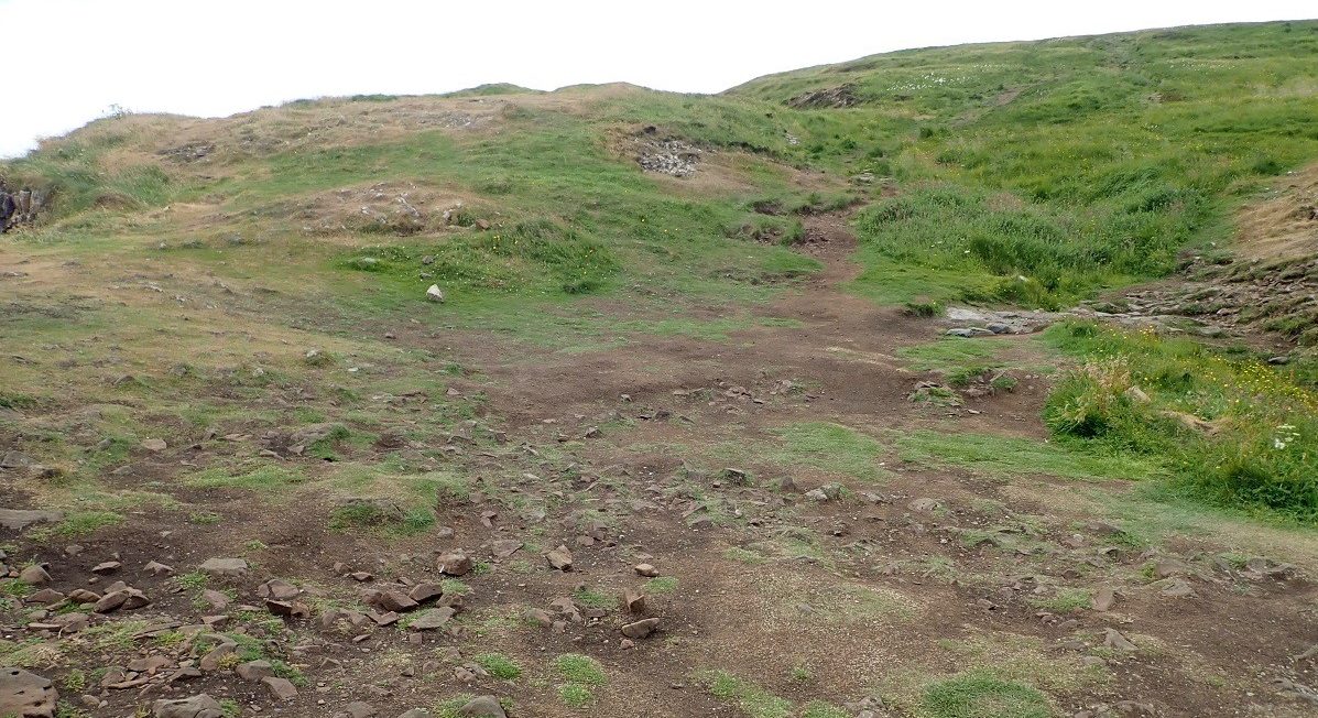
In conclusion the island of Staffa is a strange mix of non commerciality from NTS and savvy boat operators, some being multi-generational businesses. The result of which is a quite remarkable situation. The erosion caused by the hundreds of thousands of visitors over the years is plain to see. Before I left the post there was a seasonal ranger recruited to start the process of change and recovery of control over the island.
Scotisland Neighbour: Erraid Gometra Dutchman’s Cap
Other Information: National Trust for Scotland Wiki Geology
