Introduction
Gruinard Anthrax Island
Gruinard, a stunning beautiful Scottish island abused and made infamous as ‘Anthrax Island’. After some hesitation I landed on an un-grazed wild and beautiful island that hid its terrible past.
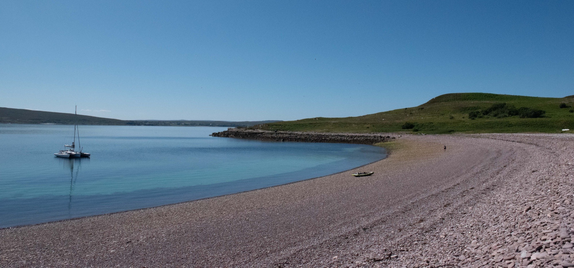
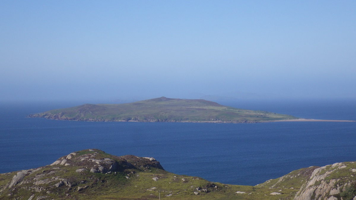
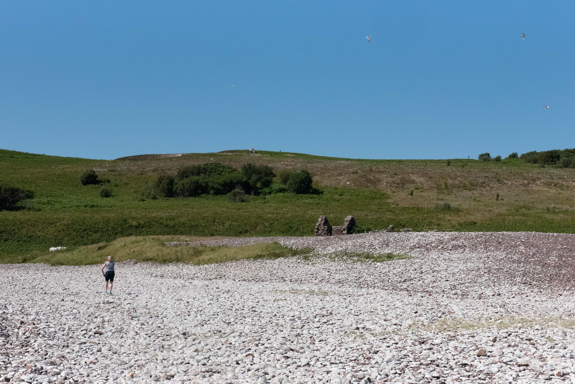
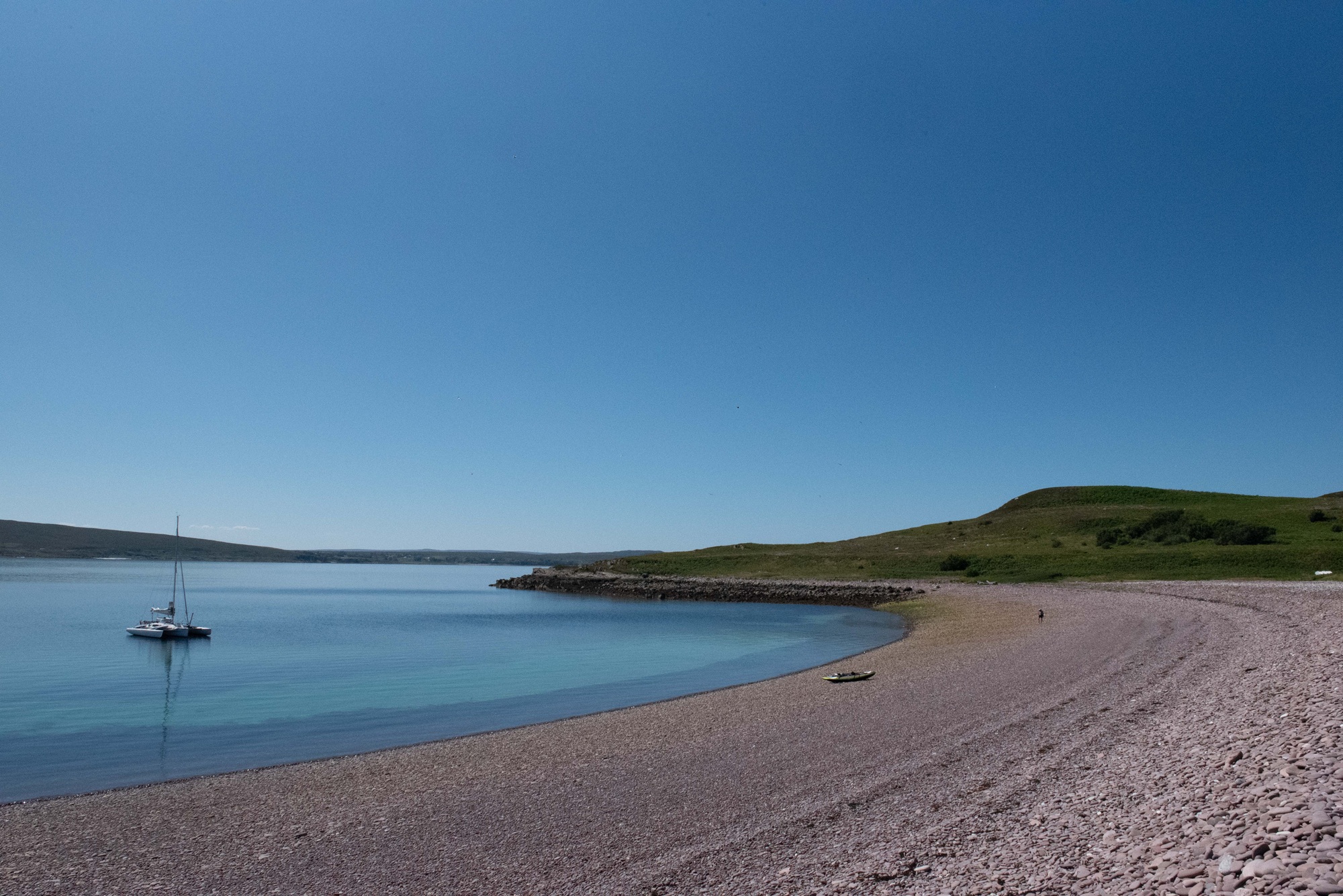
Gruinard on a beautiful summer day in 2025
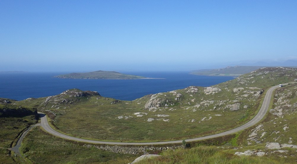
Gruinard Island Loch Broom Quick Facts
Here are the essential facts about visiting Gruinard including location, access, and what to expect.
- Island Location
- North West Scotland north of Poolewe
- How to get there
- No regular access other than by private boat
- Highlights
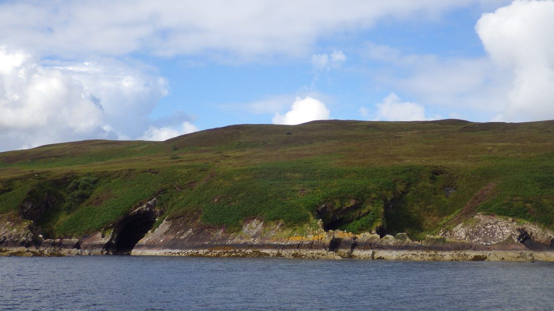
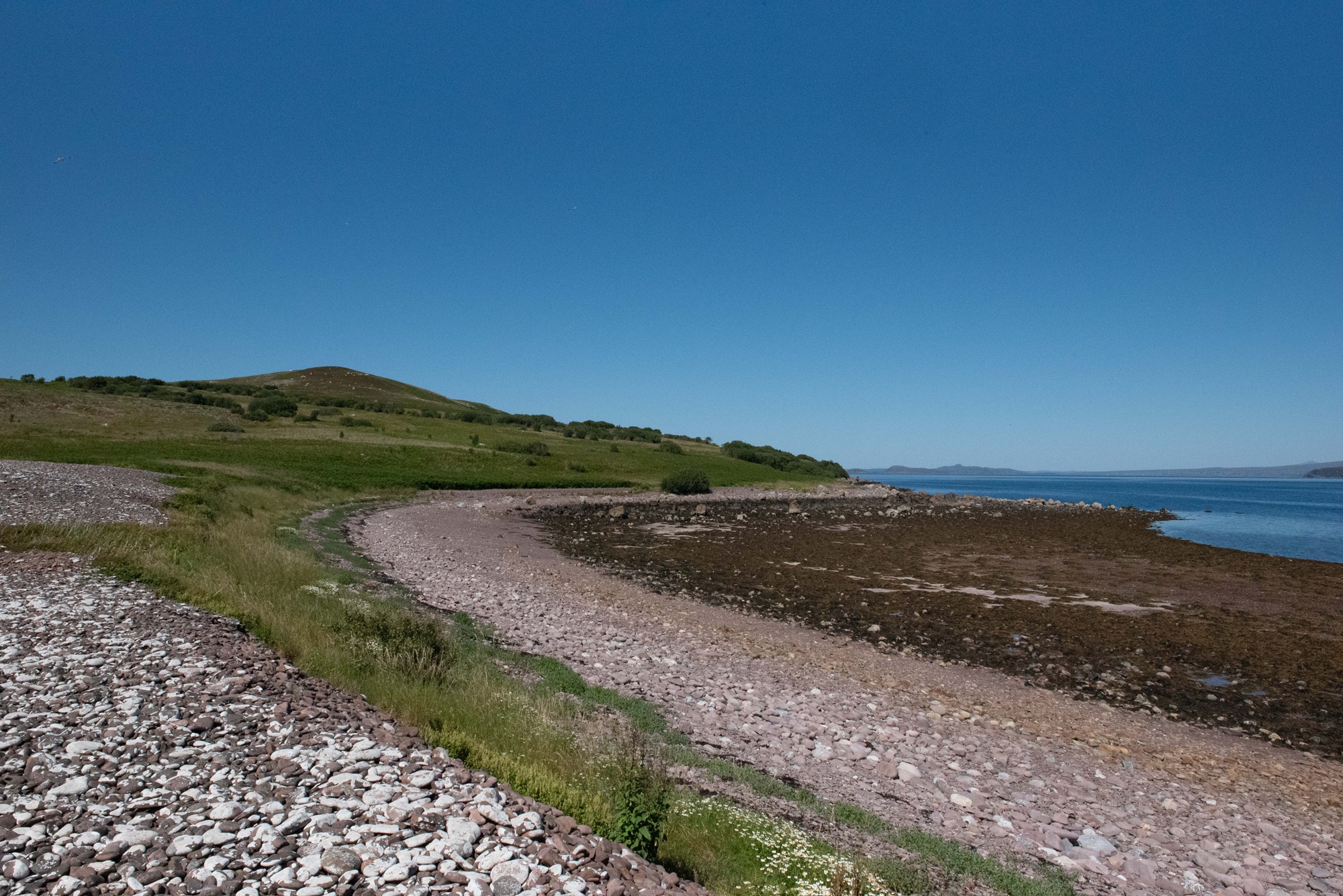
- Soft lush grass meadows, amazing flora, bare sandstone rocks and stunning boulder beach
- Reasons to Visit
- Step ashore, feel the quietness and beauty plus great views across Loch Broom
- Island Type
- Uninhabited
- Highest Point
- An Eilid, 106 m (348 ft)
- Area
- 196 ha (3⁄4 sq mi)
- Interesting facts
- In 1990, after 48 years of quarantine the island was declared safe to land on. The island remains seldom visited.
Where is Gruinard Island Loch Broom
Island Experience
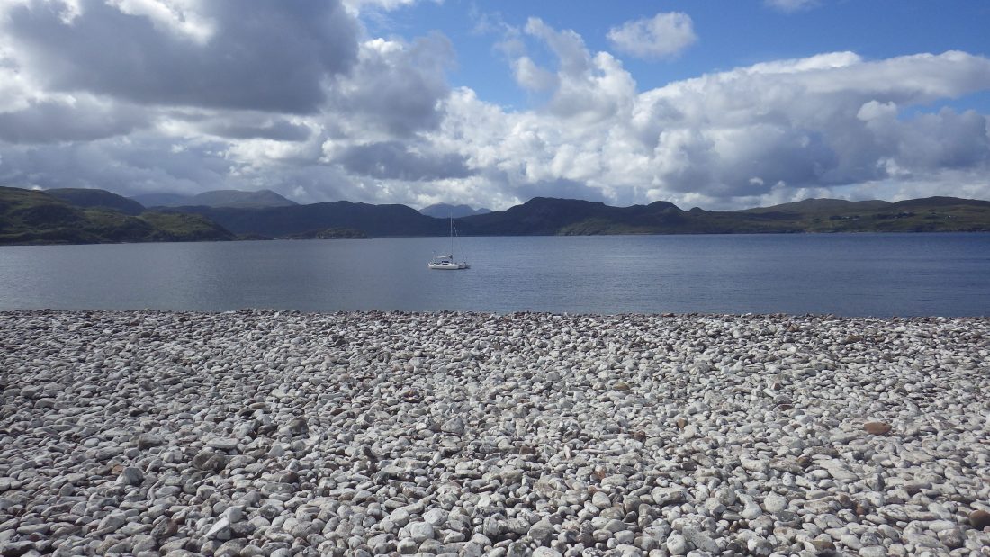
Gruinard: The Island of Death
Gruinard suffered a dark fate. During the Second World War, scientists decided to test deadly biological weapons on this uninhabited Scottish island. They released anthrax spores on defenceless sheep. These experiments left the land contaminated for decades.
I visited Gruinard on a beautiful sunny day in August 2017. The trip was memorable in every sense. However, I felt nervous as I walked through the deep grass. The “madness” had occurred 75 years earlier, yet the history felt close.
What were the WWII Anthrax Experiments on Gruinard Island?
In 1942, at the height of the Second World War, the British military desperately needed a testing ground for a terrifying new weapon: biological warfare. Under a shroud of absolute secrecy, the Ministry of Defence (MOD) requisitioned Gruinard Island from its local owners, choosing it for its total isolation from the mainland of Wester Ross.
Led by scientists from the Porton Down research facility, the military launched Operation Vegetarian. The objective was to test the viability of weaponizing Bacillus anthracis—better known as anthrax.
The grim strategy behind Operation Vegetarian wasn’t just battlefield deployment; the British government planned to drop millions of anthrax-laced linseed cakes over Germany to wipe out their livestock and starve the population.
To test the spores, scientists transported a flock of eighty sheep to the island. Mortar bombs packed with highly concentrated anthrax spores were detonated near the tethered animals. The results were swift and devastating. Within days, the entire flock succumbed to the infection, confirming the lethal efficacy of the bioweapon.
However, the scientists had drastically underestimated the resilience of the pathogen. The hardy anthrax spores bonded deeply with the rich Scottish soil, rendering Gruinard completely uninhabitable and locked in a strict, indefinite quarantine.
The Fate of the Sheep
Scientists took eighty sheep to the island. Next, they exploded bombs filled with anthrax spores near the tethered animals. The sheep became infected and died within days. Today, you can find chilling footage of these tests on YouTube.
In 1946, the government finally recognized the danger. Consequently, they agreed to take full responsibility for the island. They promised the original owners could repurchase the land for £500 once it became safe again. Meanwhile, the island remained under indefinite quarantine.
Operation Dark Harvest
For nearly four decades, “Anthrax Island” remained an ominous, off-limits silhouette in Gruinard Bay. The public knew little of the lingering danger until 1981, when a radical eco-activist group calling itself Dark Harvest forced the government’s hand.
The group landed on the forbidden island, excavated a quantity of contaminated soil, and deposited a container of it outside the high-security military research facility at Porton Down. They issued a chilling ultimatum to Prime Minister Winston Churchill’s successors: decontaminate Gruinard Island, or the soil would be distributed across the country. Days later, a second canister appeared near Blackpool. The protest successfully pushed the contamination of Gruinard into the international media spotlight.
How was Gruinard Island decontaminated and when was it declared safe?
Driven by public pressure and advanced microbiology, a massive decontamination effort finally began in 1986.
To systematically neutralize the deep-seated spores, teams saturated the most heavily infected zones of the island with a specialized solution of 280 tonnes of formaldehyde mixed with seawater. The topsoil in the worst areas was entirely removed and sealed away.
Key Dates: The Journey to Decontamination
On 24 April 1990, Junior Defence Minister Michael Neubert officially removes the warning signs. The government finally announced the island was safe. Finally, workers removed all warning signs. On 1 May 1990, the heirs of the original owner bought the island back for the original £500 price.
Is Gruinard Island safe to visit today?
Today, the warning signs are long gone, replaced by a hauntingly beautiful, quiet landscape. While the dark legacy of the 20th century lingers in local memory, the island has been entirely reclaimed by nature. Sea eagles circle the crags, and the pristine, white-stone beaches offer a peaceful landing spot for passing sailors, kayakers, and wild goats—a striking contrast to its time as the most dangerous place on Earth.
Happier Days for Gruinard
My visit followed a fast sail from Ullapool. Unfortunately, the island lacks great anchorages. Consequently, travellers can only visit on calm days.
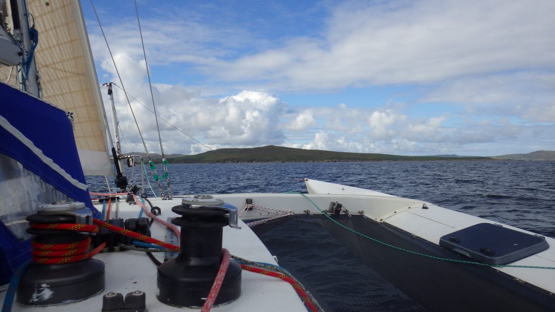
Anchoring at Gruinard
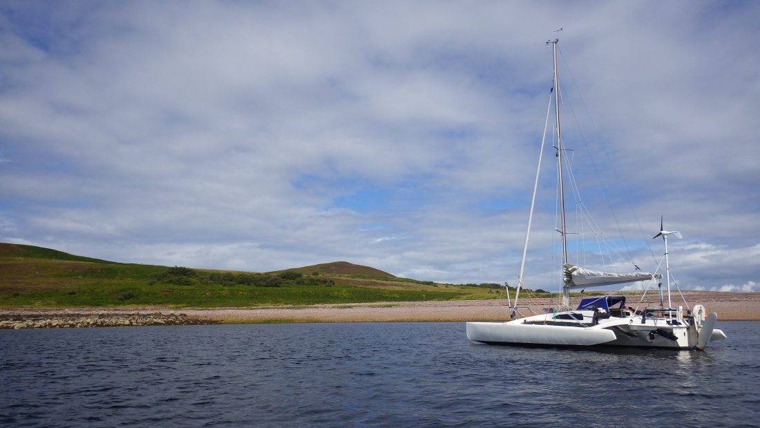
Trade Winds anchored to the south of the island. Specifically, we found shelter behind a spit of boulders called Sron a’ Mhoil. This little bay sits directly under the point of Aird nan Caorach.
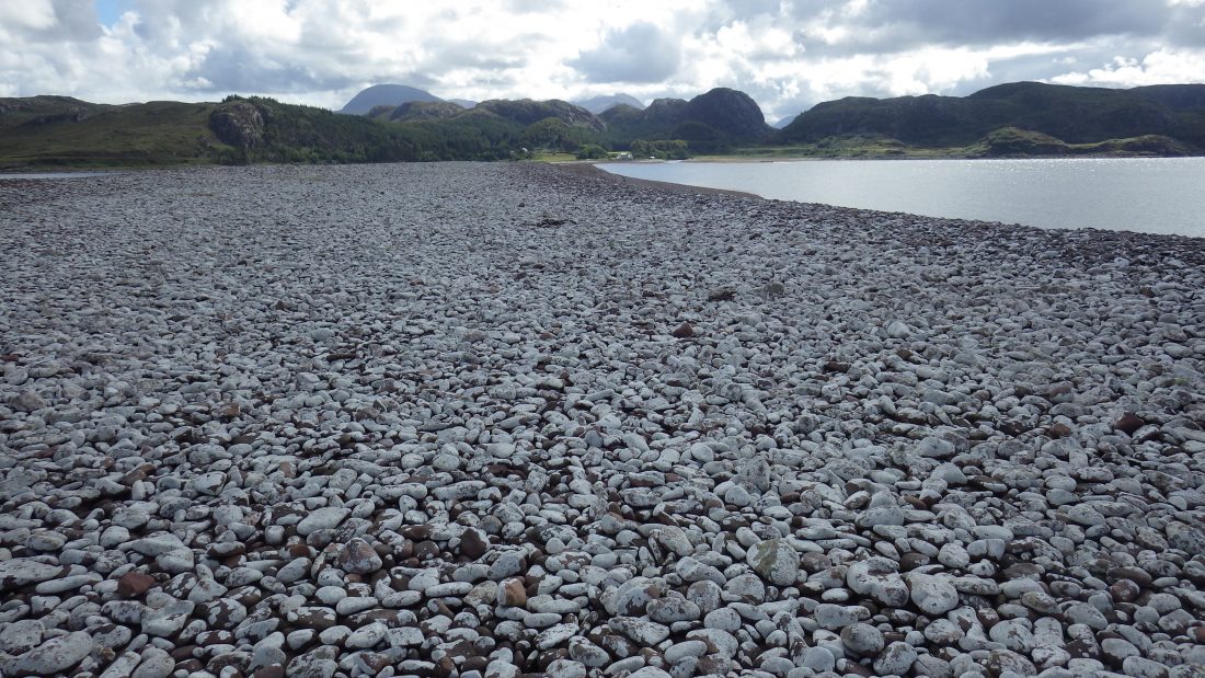
Historically, the name translates to “livestock point.” This confirms the island served as pasture land for the nearby estate. Usually, farmers made the livestock swim the short distance from the mainland. Afterward, I took a short row from Trade Winds. I landed safely on a beach of bleached white stones.
Treading on Haunted Ground
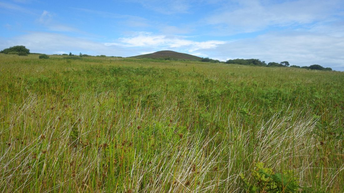
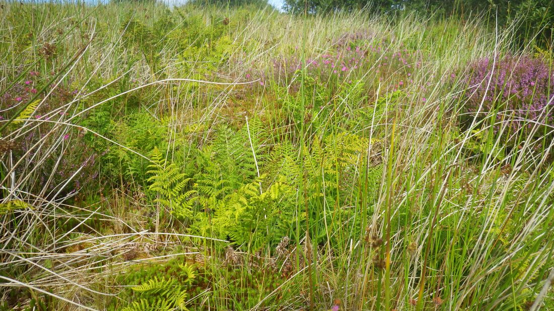
I stepped off the bleached stones and onto the thick turf of Gruinard. Immediately, the history of the “Island of Death” weighed on my mind. I walked slowly through the deep, swaying grass. Meanwhile, the warm August sun beat down on the silent landscape.
The contrast felt surreal. On one hand, the scenery looked like a coastal paradise. On the other hand, I knew scientists had once poisoned this very soil. Consequently, every step felt like an act of defiance against the past.
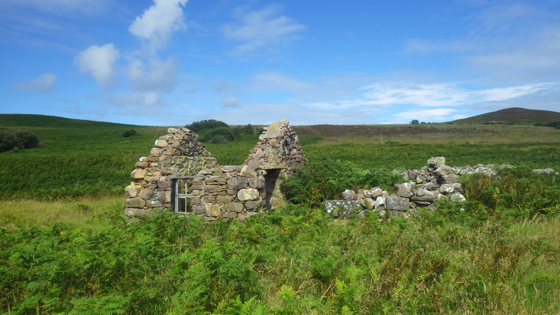
I looked toward the spots where the bombs once exploded. Now, nature has reclaimed the land. However, the memory of the “Dark Harvest” remains etched into the island’s identity. I felt like a ghost wandering through a forgotten laboratory. Ultimately, Gruinard serves as a stark reminder of human interference.
Summit of Gruinard Island
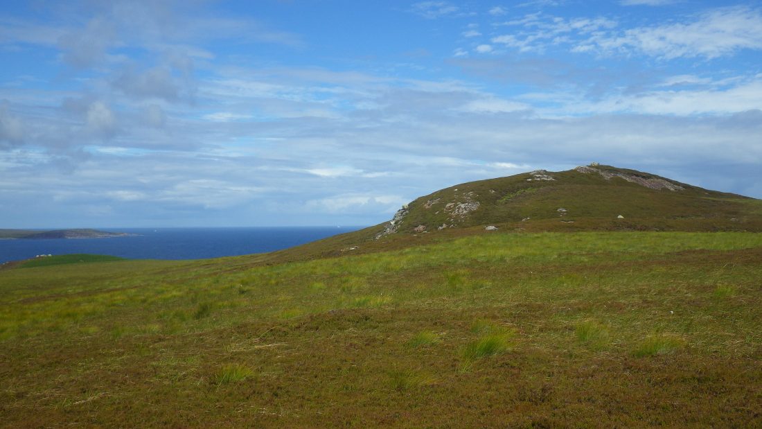
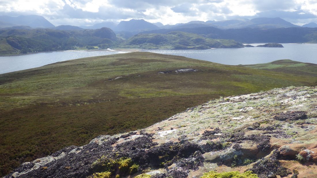
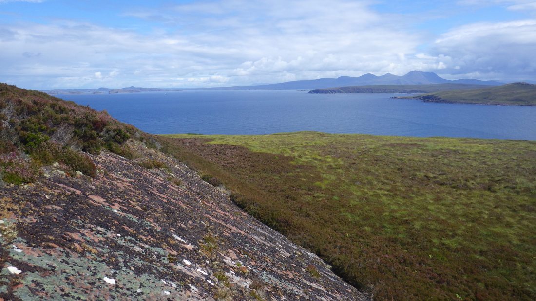
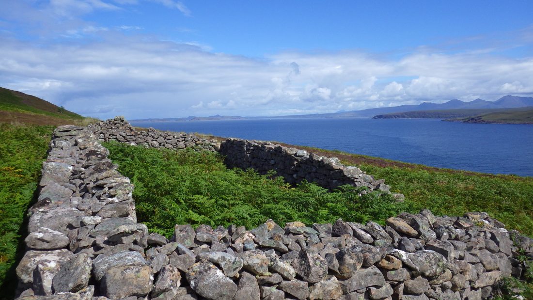
After a real slog I stepped onto firmer ground of grass and heather. The slope up to the summit, An Eilid (The Hind) was gradual. The higher up the slope the soil thinned to reveal areas of bare sandstone speckled with mosses and lichens.
The Summit of Gruinard
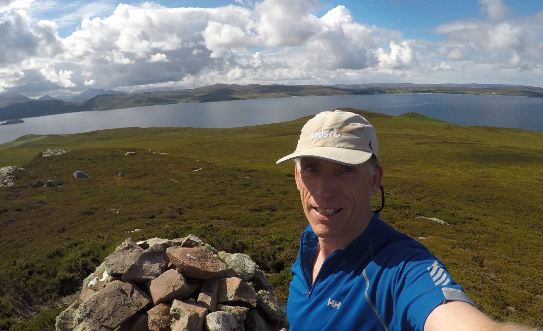
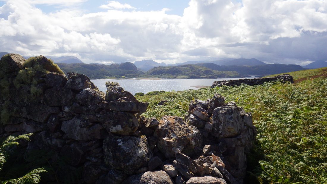
I reached the summit and found an ancient cairn. Like many on remote islands, thick lichen bearded the stones. This high point offered a breathtaking perspective. Specifically, I enjoyed uninterrupted views toward the distant Hebrides in the west.
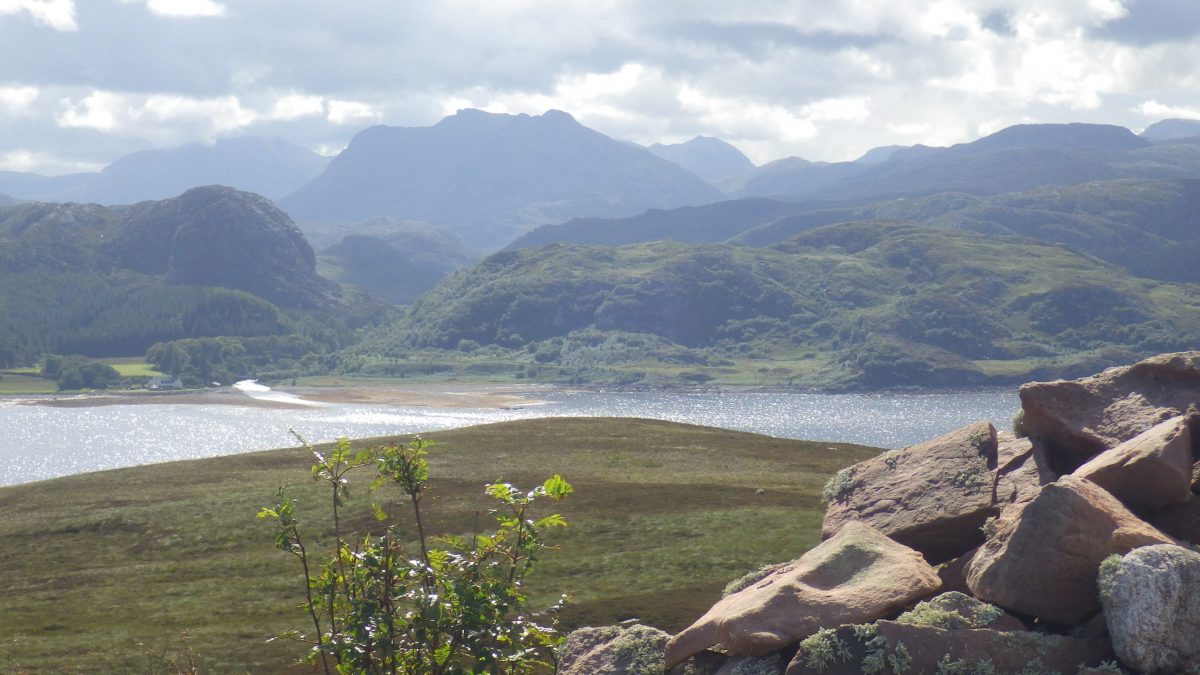
Meanwhile, the view to the east revealed Gruinard Bay. The extreme mountains of the mainland rose sharply from the coast. To the north, Loch Broom stretched toward the Summer Isles. The magic of the Wester Ross Geopark appeared in the distance.
I could see the massive forms of Coigach and Stac Pollaidh. These peaks stand as sandstone monuments to Scotland’s ancient past. Ultimately, the summit felt peaceful despite the island’s dark history.
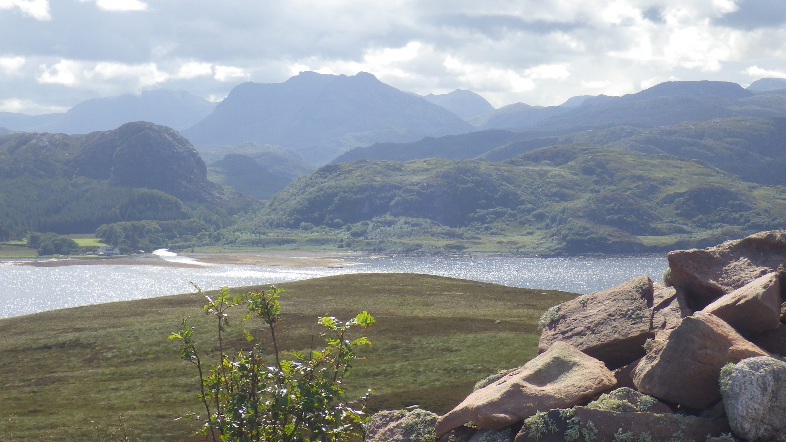
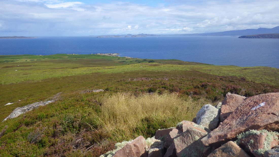
Away to the north lay Isle Ristol, Tanera Beg .
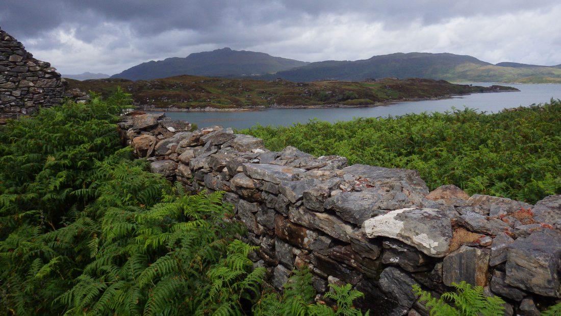
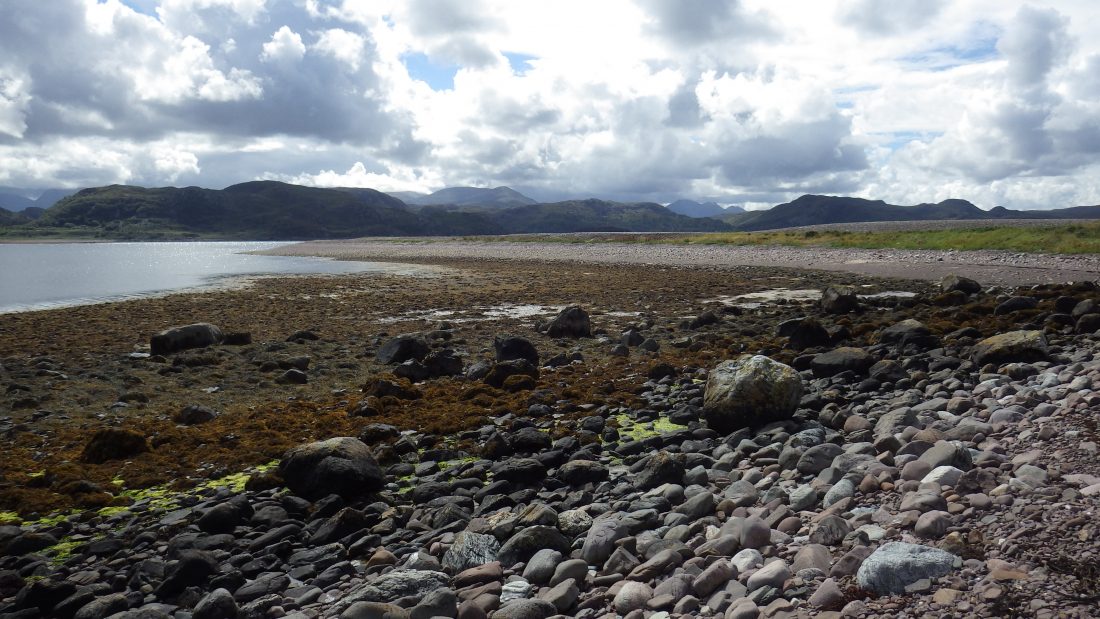
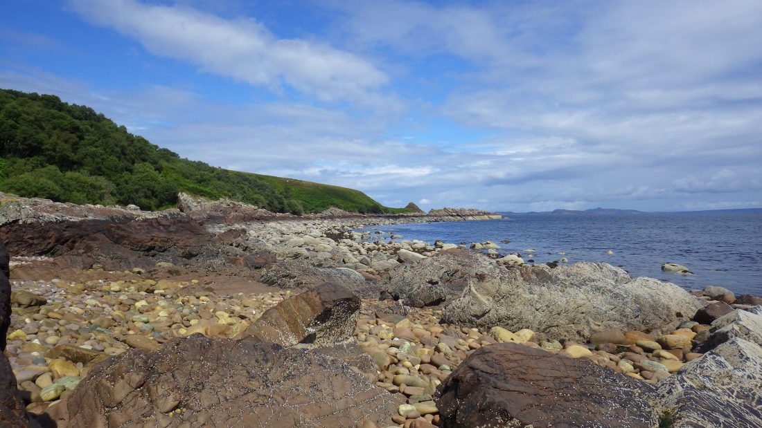
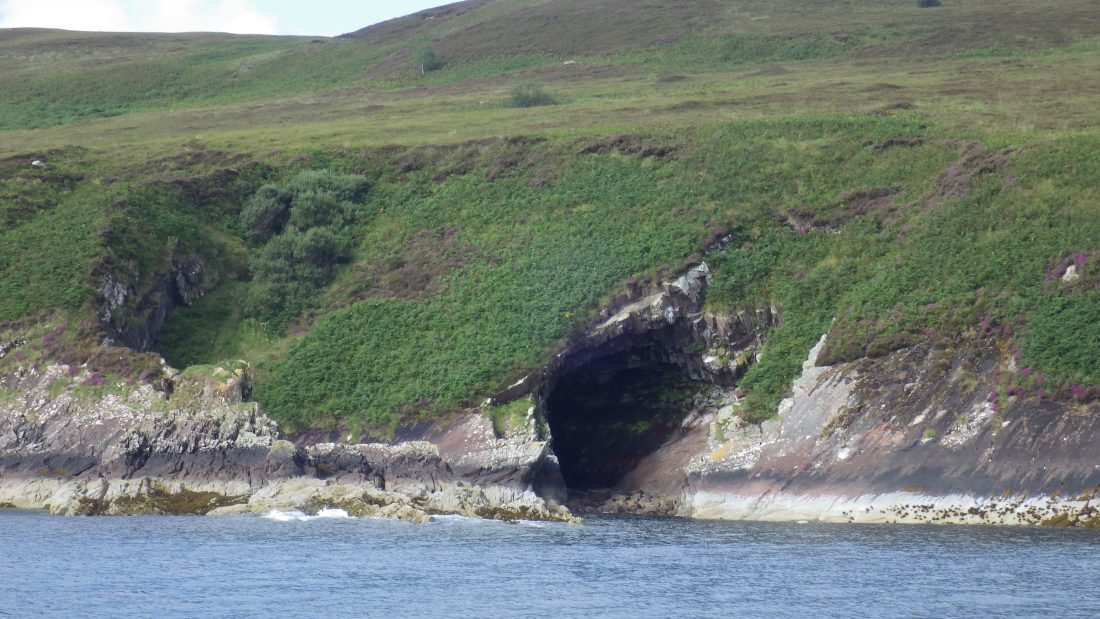
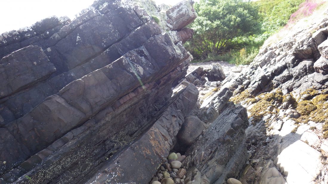
I chose to take a route down that took be to the north shore and did involved a very precarious and steep drop down to the beach. Slabbed rock lay tilted and buckled along the waterline. It was a scramble up and over the obstacles until I emerged back onto the boulder spit.
Farewell to the Island of Death
My time on Gruinard was a truly wonderful experience. Admittedly, I felt nervous because of its tarnished history. However, the island’s raw beauty quickly bowled me over. The terrain felt uniquely wild because sheep no longer graze the hills. Consequently, the rough vegetation has reclaimed the land in a way rarely seen in Scotland.
I stood on the shore and looked out toward the Summer Isles. The views stretched into the infinite blue of the Atlantic. In that moment, the “madness” of the past felt small compared to the vastness of the horizon. Gruinard is a place where human tragedy and natural resilience meet. Ultimately, it reminded me that life persists even in the wake of destruction.
References
Scotisland Neighbours: Horse Island Tanera Mor Eilean Fada Mor
Local Information; VisitScotland Wiki
Anchorage: Trade Winds was anchored south of the Sorn A’ Mhoil spit at the south east corner of Gruinard. The anchor held well in a light breeze in 10m of water and came up clean of weed. The bottom shoals to the point and main shore line. The bay does not offer any real protection from a westerly of any real strength and is exposed to swell. Perhaps good for a lunch stop or a scamper to the top!
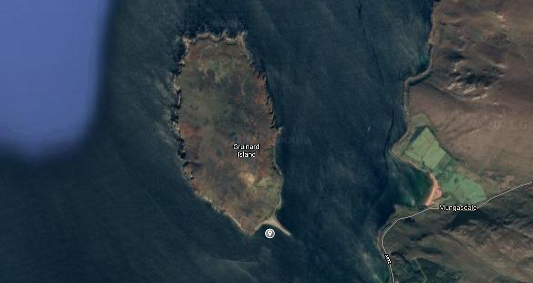
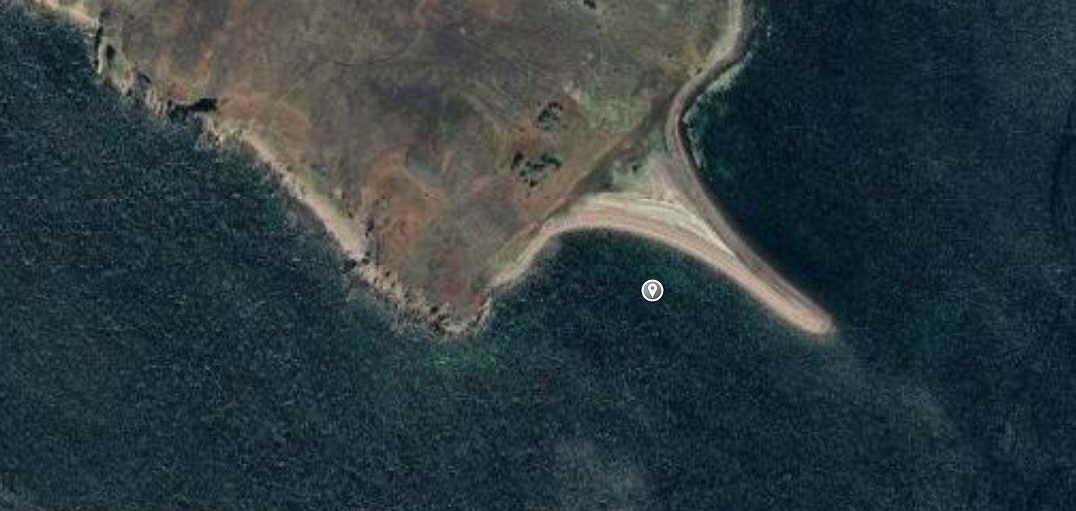
Image Gallery
Video Gallery
Gruinard today and 360 view from the top
Horrific footage of Anthrax tests in 1940s
Gruinard Anthrax tests footage from 1940s